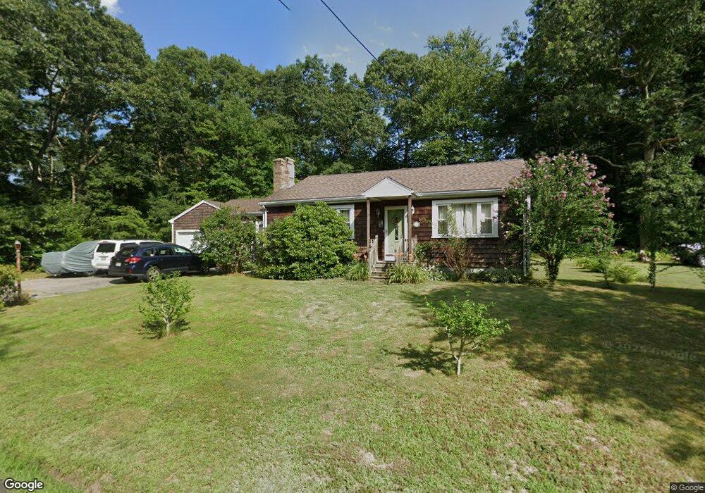
226 Briggs Rd Westport, MA 02790
North Westport NeighborhoodEstimated Value: $394,000 - $534,000
2
Beds
--
Bath
1,247
Sq Ft
$378/Sq Ft
Est. Value
About This Home
This home is located at 226 Briggs Rd, Westport, MA 02790 and is currently estimated at $471,420, approximately $378 per square foot. 226 Briggs Rd is a home located in Bristol County with nearby schools including Alice A. Macomber Primary School, Westport Elementary School, and Westport Middle-High School.
Ownership History
Date
Name
Owned For
Owner Type
Purchase Details
Closed on
Apr 23, 2003
Sold by
Estacio Mary O
Bought by
Rodriguez Dennis and Rodriguez Lisa M
Current Estimated Value
Home Financials for this Owner
Home Financials are based on the most recent Mortgage that was taken out on this home.
Original Mortgage
$149,600
Interest Rate
5.64%
Mortgage Type
Purchase Money Mortgage
Create a Home Valuation Report for This Property
The Home Valuation Report is an in-depth analysis detailing your home's value as well as a comparison with similar homes in the area
Home Values in the Area
Average Home Value in this Area
Purchase History
| Date | Buyer | Sale Price | Title Company |
|---|---|---|---|
| Rodriguez Dennis | $187,000 | -- |
Source: Public Records
Mortgage History
| Date | Status | Borrower | Loan Amount |
|---|---|---|---|
| Open | Rodriguez Dennis | $230,000 | |
| Closed | Rodriguez Dennis | $216,000 | |
| Closed | Rodriguez Dennis | $149,600 |
Source: Public Records
Tax History
| Year | Tax Paid | Tax Assessment Tax Assessment Total Assessment is a certain percentage of the fair market value that is determined by local assessors to be the total taxable value of land and additions on the property. | Land | Improvement |
|---|---|---|---|---|
| 2025 | $2,935 | $393,900 | $187,300 | $206,600 |
| 2024 | $2,861 | $370,100 | $166,300 | $203,800 |
| 2023 | $2,593 | $317,800 | $151,500 | $166,300 |
| 2022 | $2,536 | $299,100 | $151,500 | $147,600 |
| 2021 | $2,344 | $271,900 | $125,300 | $146,600 |
| 2020 | $2,250 | $266,900 | $120,300 | $146,600 |
| 2019 | $2,224 | $268,900 | $120,300 | $148,600 |
| 2018 | $1,963 | $240,300 | $125,300 | $115,000 |
| 2017 | $1,898 | $238,200 | $125,300 | $112,900 |
| 2016 | $1,837 | $232,300 | $125,300 | $107,000 |
| 2015 | $1,753 | $221,100 | $125,300 | $95,800 |
Source: Public Records
Map
Nearby Homes
- 100 D Dr
- 82-84 O Dr
- 0 Hertitage Acres
- 358 Briggs Rd
- 116 Gifford Rd
- 85 Watuppa Rd
- 9 Register Ave
- 13 3rd Ave
- 11 Harrison Ct
- 47 Devol Ave
- 16 Lenox Ave
- 6 Beaulieu St
- 25 Beaulieu St
- 3 Diane Way
- 15 S Breault St
- 45 Greenfield Rd
- 300 Davis Rd
- 0 American Legion Hwy Unit 73473517
- 343 Old Bedford Rd
- 2 Van Buren St
Your Personal Tour Guide
Ask me questions while you tour the home.