226 Buck Run W Dahlonega, GA 30533
Estimated Value: $374,398 - $488,000
--
Bed
--
Bath
2,142
Sq Ft
$196/Sq Ft
Est. Value
About This Home
This home is located at 226 Buck Run W, Dahlonega, GA 30533 and is currently estimated at $419,100, approximately $195 per square foot. 226 Buck Run W is a home with nearby schools including Clay County Middle School and Lumpkin County High School.
Ownership History
Date
Name
Owned For
Owner Type
Purchase Details
Closed on
Jan 27, 2020
Sold by
Lupo Susan S
Bought by
Lupo Michael D and Lupo Susan S
Current Estimated Value
Home Financials for this Owner
Home Financials are based on the most recent Mortgage that was taken out on this home.
Original Mortgage
$70,000
Outstanding Balance
$62,144
Interest Rate
3.74%
Mortgage Type
New Conventional
Estimated Equity
$356,956
Purchase Details
Closed on
Dec 12, 2017
Sold by
Standard
Bought by
Lupo Susan S
Home Financials for this Owner
Home Financials are based on the most recent Mortgage that was taken out on this home.
Original Mortgage
$50,000
Interest Rate
3.92%
Mortgage Type
Purchase Money Mortgage
Purchase Details
Closed on
Dec 29, 2016
Sold by
Martha H
Bought by
Lupo Susan
Purchase Details
Closed on
Sep 18, 1990
Sold by
Kenimer Doug
Bought by
Standard Gordon E
Purchase Details
Closed on
Aug 11, 1989
Bought by
Kenimer Doug
Create a Home Valuation Report for This Property
The Home Valuation Report is an in-depth analysis detailing your home's value as well as a comparison with similar homes in the area
Home Values in the Area
Average Home Value in this Area
Purchase History
| Date | Buyer | Sale Price | Title Company |
|---|---|---|---|
| Lupo Michael D | -- | -- | |
| Lupo Susan S | -- | -- | |
| Lupo Susan | $115,697 | -- | |
| Standard Gordon E | $10,000 | -- | |
| Kenimer Doug | -- | -- |
Source: Public Records
Mortgage History
| Date | Status | Borrower | Loan Amount |
|---|---|---|---|
| Open | Lupo Michael D | $70,000 | |
| Previous Owner | Lupo Susan S | $50,000 |
Source: Public Records
Tax History Compared to Growth
Tax History
| Year | Tax Paid | Tax Assessment Tax Assessment Total Assessment is a certain percentage of the fair market value that is determined by local assessors to be the total taxable value of land and additions on the property. | Land | Improvement |
|---|---|---|---|---|
| 2024 | $600 | $140,790 | $8,480 | $132,310 |
| 2023 | $433 | $133,944 | $8,480 | $125,464 |
| 2022 | $506 | $118,366 | $8,480 | $109,886 |
| 2021 | $1,674 | $58,997 | $8,480 | $50,517 |
| 2020 | $1,468 | $57,654 | $8,480 | $49,174 |
| 2019 | $1,482 | $57,654 | $8,480 | $49,174 |
| 2018 | $1,470 | $51,800 | $8,480 | $43,320 |
| 2017 | $1,437 | $49,690 | $8,480 | $41,210 |
| 2016 | $1,384 | $46,279 | $8,480 | $37,799 |
| 2015 | $1,232 | $46,279 | $8,480 | $37,799 |
| 2014 | $1,232 | $46,732 | $8,480 | $38,252 |
| 2013 | -- | $47,184 | $8,480 | $38,704 |
Source: Public Records
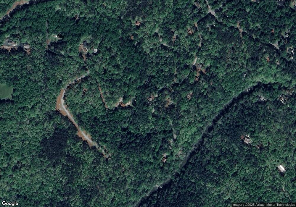
Map
Nearby Homes
- 194 Deerfield Dr
- 150 Buck Run E
- 221 Laurel Cir
- 486 Laurel Cir
- 0 Rainmore Dr Unit 7620063
- 0 Rainmore Dr Unit 10570615
- 33 T J Mote Rd
- 33 Tj Mote Rd
- 103 Rainmore Dr
- 0x Pink Williams Rd
- 0x Pink Williams Rd Unit 124AC
- 15 Baker St
- 190 Grand Oak Ln
- 50 Loyal Dr
- 1044 Rider Rd
- 191 Sleepy Hollow Rd
- 6418 Dawsonville Hwy
- 115 W Woods Dr
- 27 Bryn Ct
- 50 Hannahs Ct
- 220 Buck Run W
- 320 Mooney Creek Rd
- 342 Buck Run W
- 186 Buck Run W
- 163 Buck Run W
- 201 Buck Run W
- 12 Dusty Ln
- 97 Dusty Ln
- 205 Mooney Creek Rd
- 344 Buck Run W
- 0 Dusty Ln
- 159 Buck Run W
- 125 Dusty Ln
- 90 Dusty Ln
- 117 Buck Run W
- 195 Mooney Creek Rd
- 136 Dusty Ln
- 44 Buck Run W
- 185 Mooney Creek Rd
- 2 Mooney Creek Rd