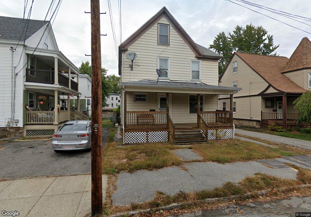
226 Carleton St Lawrence, MA 01843
South West NeighborhoodEstimated Value: $521,000 - $575,849
3
Beds
2
Baths
2,150
Sq Ft
$255/Sq Ft
Est. Value
About This Home
This home is located at 226 Carleton St, Lawrence, MA 01843 and is currently estimated at $547,712, approximately $254 per square foot. 226 Carleton St is a home located in Essex County with nearby schools including John Breen School, Emily G. Wetherbee School (K-8), and School For Exceptional Studies.
Ownership History
Date
Name
Owned For
Owner Type
Purchase Details
Closed on
Feb 26, 2024
Sold by
Demers Marie J
Bought by
Scott Michelle
Current Estimated Value
Purchase Details
Closed on
Jul 12, 1978
Bought by
Demers Raymond and Demers Marie J
Create a Home Valuation Report for This Property
The Home Valuation Report is an in-depth analysis detailing your home's value as well as a comparison with similar homes in the area
Home Values in the Area
Average Home Value in this Area
Purchase History
| Date | Buyer | Sale Price | Title Company |
|---|---|---|---|
| Scott Michelle | -- | None Available | |
| Demers Raymond | -- | -- |
Source: Public Records
Mortgage History
| Date | Status | Borrower | Loan Amount |
|---|---|---|---|
| Previous Owner | Demers Raymond | $34,996 | |
| Previous Owner | Demers Raymond | $35,000 | |
| Previous Owner | Demers Raymond | $15,000 |
Source: Public Records
Tax History
| Year | Tax Paid | Tax Assessment Tax Assessment Total Assessment is a certain percentage of the fair market value that is determined by local assessors to be the total taxable value of land and additions on the property. | Land | Improvement |
|---|---|---|---|---|
| 2025 | $4,189 | $476,000 | $146,000 | $330,000 |
| 2024 | $3,717 | $401,800 | $116,000 | $285,800 |
| 2023 | $3,789 | $372,900 | $116,000 | $256,900 |
| 2022 | $3,651 | $319,100 | $115,200 | $203,900 |
| 2021 | $3,529 | $287,600 | $113,600 | $174,000 |
| 2020 | $3,403 | $273,800 | $99,800 | $174,000 |
| 2019 | $3,161 | $231,100 | $84,300 | $146,800 |
| 2018 | $2,907 | $203,000 | $80,400 | $122,600 |
| 2017 | $2,836 | $184,900 | $75,700 | $109,200 |
| 2016 | $2,714 | $175,000 | $64,800 | $110,200 |
| 2015 | $2,646 | $175,000 | $64,800 | $110,200 |
Source: Public Records
Map
Nearby Homes
- 543 Andover St Unit 6
- 91-93 Newton St
- 49 Bowdoin St Unit 51
- 37 Tewksbury St Unit 39
- 12-12A Durham St
- 11 W Hawley St
- 87-87A Brookfield St
- 82 S Broadway
- 312 Water St Unit 4
- 24 Inman St Unit 6
- 24 Inman St Unit 4
- 341 S Broadway- Parcel II
- 18 Doyle St
- 31 Garfield St
- 95 Hancock St
- 35 Adams St
- 82 Water St
- 27-29 Dorchester St
- 19 Oregon Ave
- 100 Bailey St Unit 3
- 232 Carleton St
- 220 Carleton St
- 214 Carleton St
- 137 Newton St
- 137 Newton St Unit 139
- 133 Newton St
- 129 Newton St
- 143 Newton St
- 225 Carleton St
- 187 Sanborn St Unit 189
- 141 Newton St
- 183 Sanborn St Unit 185
- 183-185 Sanborn St
- 208 Carleton St
- 219 Carleton St
- 175 Sanborn St Unit 177
- 516 Andover St
- 518 Andover St
- 125 Newton St Unit 127
- 213 Carleton St
Your Personal Tour Guide
Ask me questions while you tour the home.