226 Charles Dr Dawsonville, GA 30534
Dawson County NeighborhoodEstimated Value: $1,022,000 - $1,506,000
4
Beds
4
Baths
3,542
Sq Ft
$383/Sq Ft
Est. Value
About This Home
This home is located at 226 Charles Dr, Dawsonville, GA 30534 and is currently estimated at $1,356,221, approximately $382 per square foot. 226 Charles Dr is a home located in Dawson County with nearby schools including Kilough Elementary School, Dawson County Middle School, and Dawson County Junior High School.
Ownership History
Date
Name
Owned For
Owner Type
Purchase Details
Closed on
Feb 22, 2011
Sold by
Pierce Martha W
Bought by
Pierce Martha W
Current Estimated Value
Purchase Details
Closed on
Dec 7, 1998
Sold by
Hallock Robert M and Hallock M
Bought by
Hallock Robert M
Purchase Details
Closed on
Dec 13, 1993
Sold by
Hallock Robert M
Bought by
Hallock Robert M and Hallock M
Purchase Details
Closed on
Aug 12, 1966
Bought by
Hallock Robert M
Create a Home Valuation Report for This Property
The Home Valuation Report is an in-depth analysis detailing your home's value as well as a comparison with similar homes in the area
Home Values in the Area
Average Home Value in this Area
Purchase History
| Date | Buyer | Sale Price | Title Company |
|---|---|---|---|
| Pierce Martha W | -- | -- | |
| Hallock Robert M | -- | -- | |
| Hallock Robert M | -- | -- | |
| Hallock Robert M | $7,700 | -- |
Source: Public Records
Tax History Compared to Growth
Tax History
| Year | Tax Paid | Tax Assessment Tax Assessment Total Assessment is a certain percentage of the fair market value that is determined by local assessors to be the total taxable value of land and additions on the property. | Land | Improvement |
|---|---|---|---|---|
| 2024 | $8,312 | $511,116 | $114,872 | $396,244 |
| 2023 | $8,312 | $692,916 | $330,240 | $362,676 |
| 2022 | $9,664 | $451,136 | $172,680 | $278,456 |
| 2021 | $8,556 | $378,168 | $143,880 | $234,288 |
| 2020 | $8,801 | $371,928 | $143,880 | $228,048 |
| 2019 | $8,242 | $345,329 | $91,162 | $254,167 |
| 2018 | $8,259 | $345,329 | $91,162 | $254,167 |
| 2017 | $8,444 | $353,054 | $80,000 | $273,054 |
| 2016 | $6,676 | $279,141 | $70,000 | $209,141 |
| 2015 | $6,890 | $279,141 | $70,000 | $209,141 |
| 2014 | $6,047 | $279,141 | $70,000 | $209,141 |
| 2013 | -- | $234,986 | $56,000 | $178,986 |
Source: Public Records
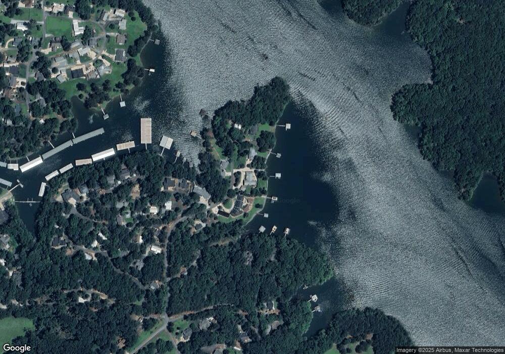
Map
Nearby Homes
- 45 Lakepoint Dr
- 2248 War Hill Park Rd
- 6029 Watermark Cove
- 61 View Point Dr
- 385 Pirkle Leake Rd
- 189 Pirkle Leake Rd
- 246 Overlook Cir
- 6073 Rockingham Way
- 6126 Foxmoor Ct
- 0 Nix Point Rd Unit 7625243
- 0 Nix Point Rd Unit 7625225
- 6060 Rockingham Way
- 5990 Watermark Cove
- 504 Sams Rd
- 452 Brookwood Dr W
- 7530 Crestline Dr
- 3110 Westchester Place
- 3106 Westchester Place
- 246 Charles Dr
- 190 Charles Dr
- 227 Charles Dr
- 130 Holly Cir
- 266 Charles Dr
- 267 Charles Dr
- 154 Holly Cir
- 99 Holly Cir
- 140 Charles Dr
- 160 Holly Cir
- 85 Brice Rd
- 75 Holly Cir
- 74 Waterfront Dr
- 184 Waterfront Dr Unit 1
- 184 Waterfront Dr
- 210 Holly Cir
- 76 Holly Cir
- 69 Brice Rd
- 180 Waterfront Dr
- 228 Holly Cir