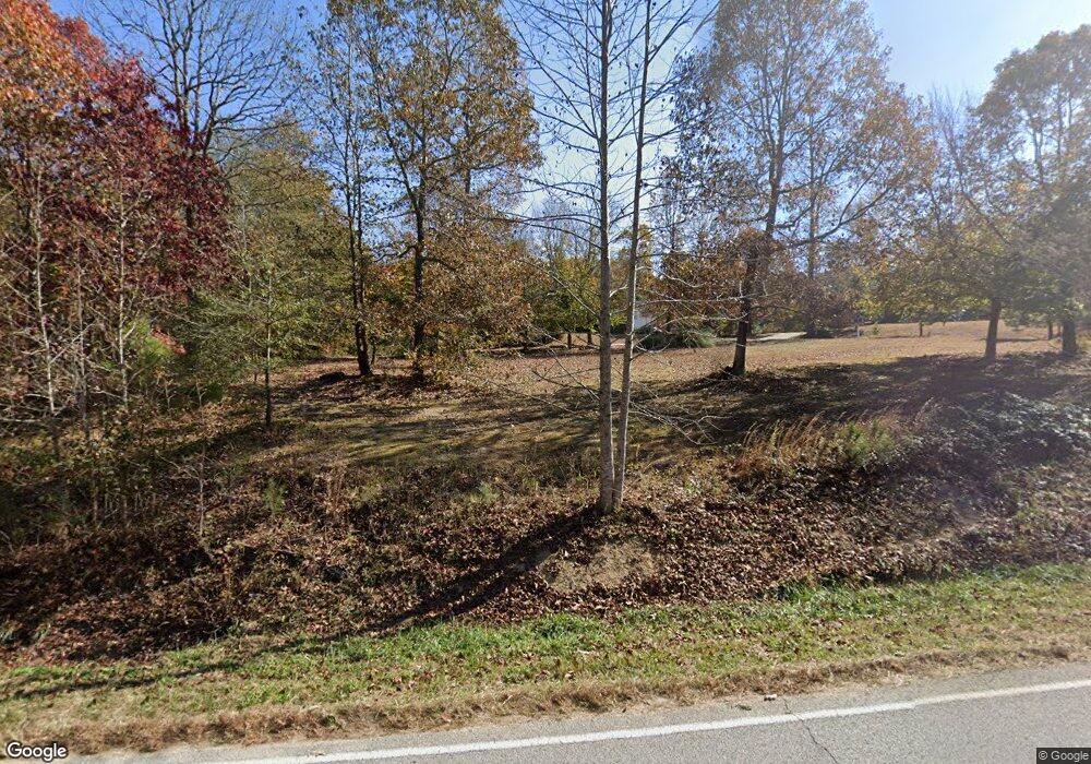
226 Davenport Rd Braselton, GA 30517
Estimated Value: $463,000 - $673,395
--
Bed
4
Baths
2,372
Sq Ft
$242/Sq Ft
Est. Value
About This Home
This home is located at 226 Davenport Rd, Braselton, GA 30517 and is currently estimated at $573,099, approximately $241 per square foot. 226 Davenport Rd is a home located in Jackson County with nearby schools including West Jackson Elementary School, West Jackson Middle School, and Jackson County High School.
Ownership History
Date
Name
Owned For
Owner Type
Purchase Details
Closed on
Jul 3, 2012
Sold by
Samples Douglas A
Bought by
Samples Denise Marcell
Current Estimated Value
Purchase Details
Closed on
May 21, 2003
Sold by
Samples Alvin Douglas
Bought by
Samples Douglas A
Purchase Details
Closed on
Sep 18, 2002
Sold by
Green Clinton
Bought by
Samples Alvin Douglas
Purchase Details
Closed on
Apr 30, 2002
Sold by
Samples Douglas A
Bought by
Green Clinton
Purchase Details
Closed on
Apr 18, 2002
Sold by
Hosch Cheryl S
Bought by
Samples Douglas A
Purchase Details
Closed on
Jun 12, 2000
Sold by
Hosch Cheryl S
Bought by
Samples Douglas A
Create a Home Valuation Report for This Property
The Home Valuation Report is an in-depth analysis detailing your home's value as well as a comparison with similar homes in the area
Home Values in the Area
Average Home Value in this Area
Purchase History
| Date | Buyer | Sale Price | Title Company |
|---|---|---|---|
| Samples Denise Marcell | -- | -- | |
| Samples Douglas A | -- | -- | |
| Samples Alvin Douglas | $193,800 | -- | |
| Green Clinton | $43,800 | -- | |
| Samples Douglas A | -- | -- | |
| Samples Douglas A | $43,800 | -- |
Source: Public Records
Tax History Compared to Growth
Tax History
| Year | Tax Paid | Tax Assessment Tax Assessment Total Assessment is a certain percentage of the fair market value that is determined by local assessors to be the total taxable value of land and additions on the property. | Land | Improvement |
|---|---|---|---|---|
| 2024 | $5,646 | $211,248 | $90,520 | $120,728 |
| 2023 | $5,646 | $197,128 | $90,520 | $106,608 |
| 2022 | $3,561 | $117,808 | $30,760 | $87,048 |
| 2021 | $3,585 | $117,808 | $30,760 | $87,048 |
| 2020 | $3,431 | $103,728 | $30,760 | $72,968 |
| 2019 | $3,480 | $103,728 | $30,760 | $72,968 |
| 2018 | $3,682 | $108,240 | $30,760 | $77,480 |
| 2017 | $3,398 | $99,267 | $24,625 | $74,642 |
| 2016 | $3,413 | $99,267 | $24,625 | $74,642 |
| 2015 | $3,427 | $99,267 | $24,625 | $74,642 |
| 2014 | $3,324 | $98,292 | $24,625 | $73,668 |
| 2013 | -- | $98,292 | $24,624 | $73,667 |
Source: Public Records
Map
Nearby Homes
- 532 Davenport Rd
- 0 Davenport Rd Unit 10583908
- 0 Davenport Rd Unit 16748330
- 1384 Pocket Rd
- 1745 Liberty Park Dr
- 298 Fox Creek Dr
- 111 Horned Owl Ave
- 5068 Highway 53
- 21 Duck Rd
- 53 Ednaville Rd
- 6647 Hwy 53
- 6647 Highway 53
- 622 Pocket Rd
- 691 Walnut Woods Dr
- 1316 Sunny Valley Ln
- 651 Walnut Woods Dr
- 1406 Sunny Valley Ln
- 1390 Sunny Valley Ln
- 164 Davenport Rd
- 193 Davenport Rd
- 340 Davenport Rd
- 140 Davenport Rd
- 74 Davenport Rd
- 157 Davenport Rd
- 265 Davenport Rd
- 360 Davenport Rd
- 101 Davenport Rd
- 131 Davenport Rd
- 64 Davenport Rd
- 597 New Cut Rd
- 25 Davenport Rd
- 1171 Curk Roberts Rd
- 551 New Cut Rd
- 579 New Cut Rd
- 505 Davenport Rd
- 1315 Curk Roberts Rd
- 218 Arbor Trace
- 791 New Cut Rd
