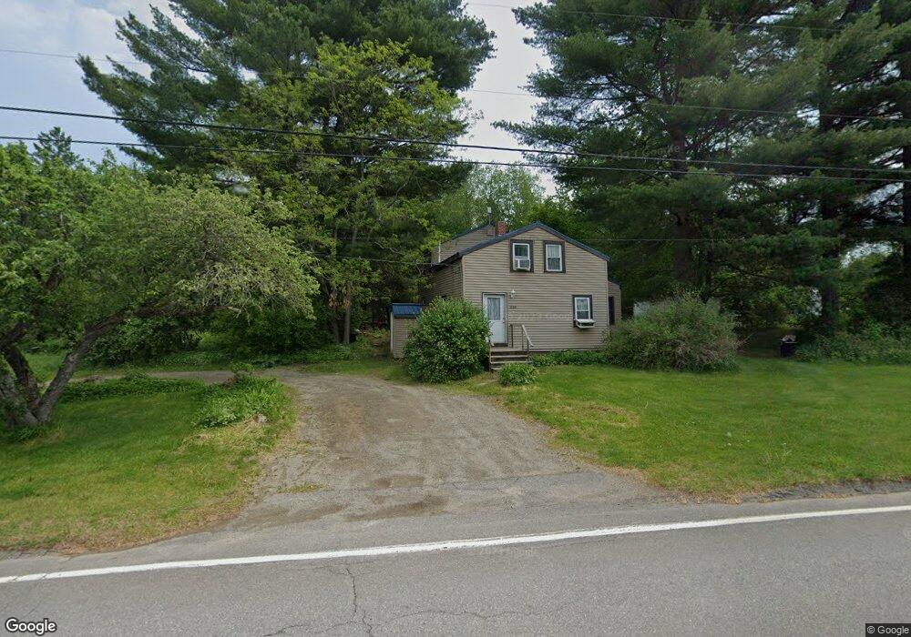
226 Day Rd Brewer, ME 04412
Estimated Value: $268,545 - $304,000
3
Beds
2
Baths
1,180
Sq Ft
$242/Sq Ft
Est. Value
About This Home
This home is located at 226 Day Rd, Brewer, ME 04412 and is currently estimated at $286,136, approximately $242 per square foot. 226 Day Rd is a home located in Penobscot County with nearby schools including Brewer Community School, Brewer High School, and John Bapst Memorial High School.
Ownership History
Date
Name
Owned For
Owner Type
Purchase Details
Closed on
Jan 28, 2022
Sold by
Rivard Victoria C
Bought by
Buck Jared I and Buck Amber R
Current Estimated Value
Home Financials for this Owner
Home Financials are based on the most recent Mortgage that was taken out on this home.
Original Mortgage
$88,141
Interest Rate
3.22%
Mortgage Type
Purchase Money Mortgage
Purchase Details
Closed on
Jun 30, 2005
Sold by
Buck Warden E
Bought by
Rivard Victoria C
Home Financials for this Owner
Home Financials are based on the most recent Mortgage that was taken out on this home.
Original Mortgage
$0
Interest Rate
5.53%
Mortgage Type
Purchase Money Mortgage
Create a Home Valuation Report for This Property
The Home Valuation Report is an in-depth analysis detailing your home's value as well as a comparison with similar homes in the area
Home Values in the Area
Average Home Value in this Area
Purchase History
| Date | Buyer | Sale Price | Title Company |
|---|---|---|---|
| Buck Jared I | $92,780 | None Available | |
| Buck Jared I | $92,780 | None Available | |
| Rivard Victoria C | -- | -- | |
| Rivard Victoria C | -- | -- |
Source: Public Records
Mortgage History
| Date | Status | Borrower | Loan Amount |
|---|---|---|---|
| Previous Owner | Buck Jared I | $88,141 | |
| Previous Owner | Rivard Victoria C | $30,717 | |
| Previous Owner | Rivard Victoria C | $15,149 | |
| Previous Owner | Rivard Victoria C | $0 |
Source: Public Records
Tax History Compared to Growth
Tax History
| Year | Tax Paid | Tax Assessment Tax Assessment Total Assessment is a certain percentage of the fair market value that is determined by local assessors to be the total taxable value of land and additions on the property. | Land | Improvement |
|---|---|---|---|---|
| 2024 | $3,463 | $184,200 | $32,600 | $151,600 |
| 2023 | $2,991 | $148,800 | $31,300 | $117,500 |
| 2021 | $2,859 | $128,200 | $30,000 | $98,200 |
| 2020 | $2,917 | $128,200 | $30,000 | $98,200 |
| 2019 | $2,531 | $128,200 | $30,000 | $98,200 |
| 2018 | $2,421 | $110,000 | $30,000 | $80,000 |
| 2017 | $2,475 | $110,000 | $30,000 | $80,000 |
| 2016 | $2,367 | $110,000 | $30,000 | $80,000 |
| 2015 | $2,367 | $110,000 | $30,000 | $80,000 |
| 2014 | $2,274 | $108,700 | $30,000 | $78,700 |
| 2013 | $1,807 | $86,400 | $21,200 | $65,200 |
Source: Public Records
Map
Nearby Homes
- 4 Black Bear Rd
- 33 Black Bear Rd
- 1241 N Main St
- 388 Lambert Rd
- 00 Lambert Rd(map 4-14 & 4-14-01)
- 15 Main Rd
- 28 Meadow Ln
- 61 Main Rd
- 29 Thompson Rd
- 43 Lambert Rd
- 22 Hobson Ave
- 70 Wintergreen Way
- 5 Abbey Ln
- 23 Monument Dr
- 996 State St
- 20 Lakeman Ln
- 50 Monument Dr
- 1290 State St
- 50 Kathryn Ln Unit 50
- 40 Kathryn Ln Unit 40