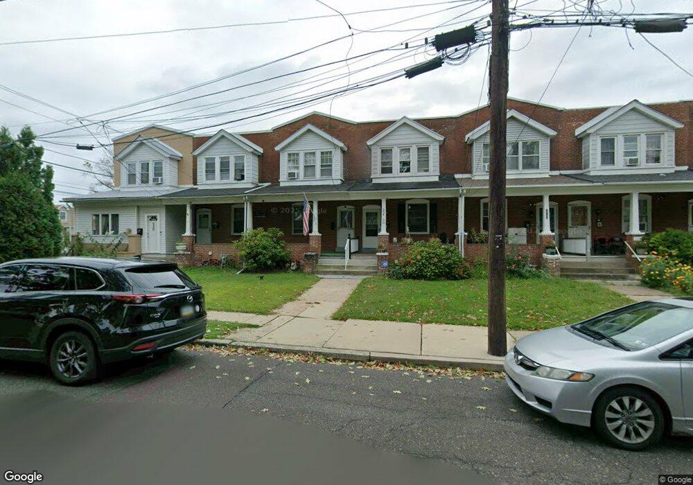
226 E 4th St Lansdale, PA 19446
Estimated Value: $286,980 - $311,000
3
Beds
1
Bath
1,154
Sq Ft
$263/Sq Ft
Est. Value
About This Home
This home is located at 226 E 4th St, Lansdale, PA 19446 and is currently estimated at $302,995, approximately $262 per square foot. 226 E 4th St is a home located in Montgomery County with nearby schools including Knapp Elementary School, Penndale Middle School, and North Penn Senior High School.
Ownership History
Date
Name
Owned For
Owner Type
Purchase Details
Closed on
Mar 31, 2006
Sold by
Cox David W and Cox Heather A
Bought by
Starynski Gregg
Current Estimated Value
Home Financials for this Owner
Home Financials are based on the most recent Mortgage that was taken out on this home.
Original Mortgage
$160,500
Outstanding Balance
$91,807
Interest Rate
6.28%
Estimated Equity
$211,188
Purchase Details
Closed on
Apr 3, 1995
Sold by
Stack Peter J and Stack Cheryl L
Bought by
Mitchell George T and Mitchell Laura J
Create a Home Valuation Report for This Property
The Home Valuation Report is an in-depth analysis detailing your home's value as well as a comparison with similar homes in the area
Home Values in the Area
Average Home Value in this Area
Purchase History
| Date | Buyer | Sale Price | Title Company |
|---|---|---|---|
| Starynski Gregg | $169,000 | Landamerica | |
| Mitchell George T | $97,500 | -- |
Source: Public Records
Mortgage History
| Date | Status | Borrower | Loan Amount |
|---|---|---|---|
| Open | Starynski Gregg | $160,500 |
Source: Public Records
Tax History Compared to Growth
Tax History
| Year | Tax Paid | Tax Assessment Tax Assessment Total Assessment is a certain percentage of the fair market value that is determined by local assessors to be the total taxable value of land and additions on the property. | Land | Improvement |
|---|---|---|---|---|
| 2025 | $3,752 | $89,190 | $39,980 | $49,210 |
| 2024 | $3,752 | $89,190 | $39,980 | $49,210 |
| 2023 | $3,509 | $89,190 | $39,980 | $49,210 |
| 2022 | $3,398 | $89,190 | $39,980 | $49,210 |
| 2021 | $3,260 | $89,190 | $39,980 | $49,210 |
| 2020 | $3,161 | $89,190 | $39,980 | $49,210 |
| 2019 | $3,109 | $89,190 | $39,980 | $49,210 |
| 2018 | $835 | $89,190 | $39,980 | $49,210 |
| 2017 | $2,902 | $89,190 | $39,980 | $49,210 |
| 2016 | $2,867 | $89,190 | $39,980 | $49,210 |
| 2015 | $2,661 | $89,190 | $39,980 | $49,210 |
| 2014 | $2,661 | $89,190 | $39,980 | $49,210 |
Source: Public Records
Map
Nearby Homes
- 135 Third
- 235 E 2nd St
- 200 E 5th St
- 130 E 5th St
- 124 E 5th St
- 2 N Line St
- 529 N Chestnut St
- 39 E 5th St
- 323 Edgewood Ave
- 159 Penn St
- 446 E Main St
- 100 Penn St
- 128 S Broad St
- 129 W Fifth St
- 263 Compass Dr
- 405 Derstine Ave
- 380 E Hancock St Unit 100A
- 380 E Hancock St Unit 104A
- 380 E Hancock St Unit 103A
- 380 E Hancock St Unit 101A