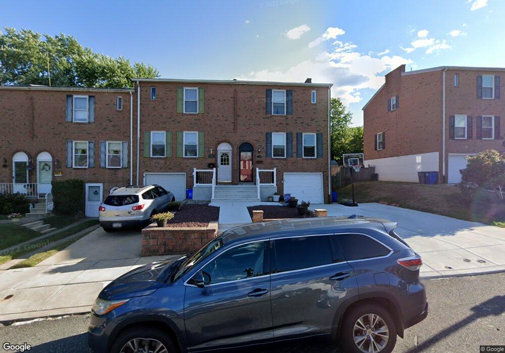
226 Goodford Rd Philadelphia, PA 19154
Northeast Philadelphia NeighborhoodEstimated Value: $322,767 - $375,000
3
Beds
1
Bath
1,360
Sq Ft
$260/Sq Ft
Est. Value
About This Home
This home is located at 226 Goodford Rd, Philadelphia, PA 19154 and is currently estimated at $353,442, approximately $259 per square foot. 226 Goodford Rd is a home located in Philadelphia County with nearby schools including A. L. Fitzpatrick School, George Washington High School, and Our Lady of Calvary School.
Ownership History
Date
Name
Owned For
Owner Type
Purchase Details
Closed on
Mar 21, 2000
Sold by
Marinelli Michael and Marinelli Emma M
Bought by
Johnson Raymond J and Krohn Jennifer
Current Estimated Value
Home Financials for this Owner
Home Financials are based on the most recent Mortgage that was taken out on this home.
Original Mortgage
$81,800
Outstanding Balance
$27,317
Interest Rate
8.3%
Estimated Equity
$326,125
Create a Home Valuation Report for This Property
The Home Valuation Report is an in-depth analysis detailing your home's value as well as a comparison with similar homes in the area
Home Values in the Area
Average Home Value in this Area
Purchase History
| Date | Buyer | Sale Price | Title Company |
|---|---|---|---|
| Johnson Raymond J | $90,900 | -- |
Source: Public Records
Mortgage History
| Date | Status | Borrower | Loan Amount |
|---|---|---|---|
| Open | Johnson Raymond J | $81,800 |
Source: Public Records
Tax History Compared to Growth
Tax History
| Year | Tax Paid | Tax Assessment Tax Assessment Total Assessment is a certain percentage of the fair market value that is determined by local assessors to be the total taxable value of land and additions on the property. | Land | Improvement |
|---|---|---|---|---|
| 2026 | $3,665 | $313,900 | $62,780 | $251,120 |
| 2025 | $3,665 | $313,900 | $62,780 | $251,120 |
| 2024 | $3,665 | $313,900 | $62,780 | $251,120 |
| 2023 | $3,665 | $261,800 | $52,360 | $209,440 |
| 2022 | $2,513 | $216,800 | $52,360 | $164,440 |
| 2021 | $3,143 | $0 | $0 | $0 |
| 2020 | $3,143 | $0 | $0 | $0 |
| 2019 | $2,959 | $0 | $0 | $0 |
| 2018 | $2,265 | $0 | $0 | $0 |
| 2017 | $2,685 | $0 | $0 | $0 |
| 2016 | $2,265 | $0 | $0 | $0 |
| 2015 | $2,168 | $0 | $0 | $0 |
| 2014 | -- | $191,800 | $47,400 | $144,400 |
| 2012 | -- | $22,112 | $2,754 | $19,358 |
Source: Public Records
Map
Nearby Homes
- 1126 Evelyn Ave
- 1236 Whittier Ave
- 238 Dimarco Dr
- 4161 Orchard Ln
- 11731 Dimarco Dr
- 4374 Deerpath Ln
- 11913 Millbrook Rd
- 1103 Colonial Ave
- 4210 Greenmount Rd
- 10932 Templeton Dr
- 3803 Dorchester Rd
- 10908 Templeton Dr
- 12028 Millbrook Rd
- 4207 Fairdale Rd
- 1202 Clinton Ave
- 0 Kings Ln
- 3627 N Hereford Ln
- 11125 Kirby Dr
- 827 Mitchell Ave
- 3623 N Hereford Ln
- 228 Goodford Rd
- 224 Goodford Rd
- 230 Goodford Rd
- 232 Goodford Rd
- 218 Goodford Rd
- 234 Goodford Rd
- 216 Goodford Rd
- 236 Goodford Rd
- 227 Wickley Rd
- 225 Wickley Rd
- 221 Wickley Rd
- 214 Goodford Rd
- 231 Wickley Rd
- 233 Wickley Rd
- 229 Wickley Rd
- 212 Goodford Rd
- 219 Wickley Rd
- 217 Wickley Rd
- 227 Goodford Rd
- 225 Goodford Rd