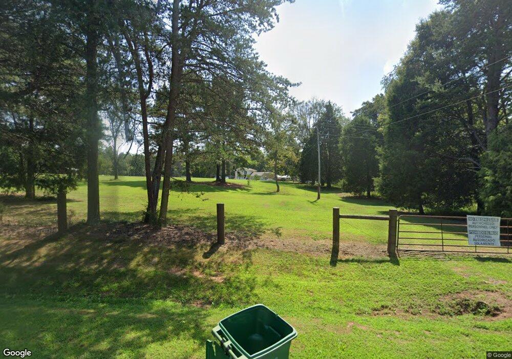
226 Grogan Rd Stoneville, NC 27048
Estimated Value: $216,000 - $266,000
--
Bed
--
Bath
1,680
Sq Ft
$139/Sq Ft
Est. Value
About This Home
This home is located at 226 Grogan Rd, Stoneville, NC 27048 and is currently estimated at $233,720, approximately $139 per square foot. 226 Grogan Rd is a home located in Rockingham County with nearby schools including Stoneville Elementary School, Western Rockingham Middle School, and Dalton McMichael High School.
Ownership History
Date
Name
Owned For
Owner Type
Purchase Details
Closed on
Aug 20, 2007
Sold by
Tilley Michael Wayne and Tilley Teresa Darelene
Bought by
Nelson Scott A
Current Estimated Value
Home Financials for this Owner
Home Financials are based on the most recent Mortgage that was taken out on this home.
Original Mortgage
$30,000
Interest Rate
6.65%
Mortgage Type
Purchase Money Mortgage
Purchase Details
Closed on
Mar 28, 2007
Sold by
Tilley Michael Wayne and Tilley Elizabeth Bingaman
Bought by
Tilley Michael Wayne and Tilley Teresa Darlene
Create a Home Valuation Report for This Property
The Home Valuation Report is an in-depth analysis detailing your home's value as well as a comparison with similar homes in the area
Home Values in the Area
Average Home Value in this Area
Purchase History
| Date | Buyer | Sale Price | Title Company |
|---|---|---|---|
| Nelson Scott A | $30,000 | None Available | |
| Tilley Michael Wayne | -- | None Available |
Source: Public Records
Mortgage History
| Date | Status | Borrower | Loan Amount |
|---|---|---|---|
| Closed | Nelson Scott A | $30,000 |
Source: Public Records
Tax History Compared to Growth
Tax History
| Year | Tax Paid | Tax Assessment Tax Assessment Total Assessment is a certain percentage of the fair market value that is determined by local assessors to be the total taxable value of land and additions on the property. | Land | Improvement |
|---|---|---|---|---|
| 2025 | $1,097 | $166,143 | $76,457 | $89,686 |
| 2024 | $1,079 | $166,143 | $76,457 | $89,686 |
| 2023 | $1,079 | $101,591 | $38,228 | $63,363 |
| 2022 | $808 | $101,591 | $38,228 | $63,363 |
| 2021 | $808 | $101,591 | $38,228 | $63,363 |
| 2020 | $808 | $101,591 | $38,228 | $63,363 |
| 2019 | $808 | $101,591 | $38,228 | $63,363 |
| 2018 | $743 | $93,284 | $48,228 | $45,056 |
| 2017 | $743 | $93,284 | $48,228 | $45,056 |
| 2015 | $686 | $85,314 | $48,228 | $37,086 |
| 2014 | -- | $83,427 | $48,228 | $35,199 |
Source: Public Records
Map
Nearby Homes
- 00 Grogan Rd
- 00 Grogan Rd Unit TK 5
- 1818 Stone Mountain Rd
- 112 Macgregor Ln
- 4221 Nc Highway 135
- 195 Pine Hill Rd
- 1077 Smothers Rd
- 800 Smothers Rd
- 1448 River Rd
- N/A Wild Turkey Ln
- 00 Settle Bridge Rd
- 00 Massey Creek Rd
- 00 Stone Mountain Rd
- 2080 Pannel Rd
- 00 King St
- 4125 Us Highway 220 Bus
- 120 Lemons St
- 245 Bear Rd
- 131 Calvary Rd
- 6567 Nc Highway 135
- 226 Grogan Rd
- 241 Grogan Rd
- 315 Grogan Rd
- 161 Grogan Rd
- 583 Belton Rd
- 660 Belton Rd
- 0 Grogan Rd
- 477 Grogan Rd
- 00 Grogan Rd
- 954 Belton Rd
- 2611 River Rd
- 2903 River Rd
- 2321 Stone Mountain Rd
- 180 Land Fall Trace Dr
- 2541 River Rd
- 2323 Stone Mountain Rd
- 208 Dogwood Rd
- 790 Grogan Rd
- 207 Dogwood Rd
- 147 Deertrack Loop
