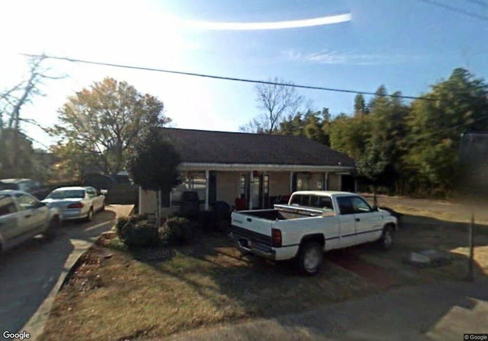
226 Hurricane Rd New Market, AL 35761
Estimated Value: $159,544 - $250,000
3
Beds
12
Baths
1,523
Sq Ft
$124/Sq Ft
Est. Value
About This Home
This home is located at 226 Hurricane Rd, New Market, AL 35761 and is currently estimated at $188,386, approximately $123 per square foot. 226 Hurricane Rd is a home located in Madison County with nearby schools including New Market School, Buckhorn Middle School, and Buckhorn High School.
Ownership History
Date
Name
Owned For
Owner Type
Purchase Details
Closed on
Dec 10, 2022
Sold by
Johnson Jason
Bought by
Johnson Loretta
Current Estimated Value
Purchase Details
Closed on
Aug 28, 2015
Sold by
Jeff Benton Properties Llc
Bought by
Johnson Jason and Johnson Loretta
Purchase Details
Closed on
Aug 9, 2013
Sold by
Jeff Benton Properties Llc
Bought by
Wagner Shiloh
Home Financials for this Owner
Home Financials are based on the most recent Mortgage that was taken out on this home.
Original Mortgage
$78,900
Interest Rate
4.29%
Mortgage Type
Purchase Money Mortgage
Create a Home Valuation Report for This Property
The Home Valuation Report is an in-depth analysis detailing your home's value as well as a comparison with similar homes in the area
Home Values in the Area
Average Home Value in this Area
Purchase History
| Date | Buyer | Sale Price | Title Company |
|---|---|---|---|
| Johnson Loretta | $70,600 | -- | |
| Johnson Jason | $70,748 | None Available | |
| Wagner Shiloh | $79,900 | None Available |
Source: Public Records
Mortgage History
| Date | Status | Borrower | Loan Amount |
|---|---|---|---|
| Previous Owner | Wagner Shiloh | $78,900 |
Source: Public Records
Tax History Compared to Growth
Tax History
| Year | Tax Paid | Tax Assessment Tax Assessment Total Assessment is a certain percentage of the fair market value that is determined by local assessors to be the total taxable value of land and additions on the property. | Land | Improvement |
|---|---|---|---|---|
| 2024 | $255 | $7,860 | $640 | $7,220 |
| 2023 | $237 | $7,860 | $640 | $7,220 |
| 2022 | $208 | $7,060 | $640 | $6,420 |
| 2021 | $175 | $6,160 | $640 | $5,520 |
| 2020 | $161 | $5,780 | $640 | $5,140 |
| 2019 | $154 | $5,590 | $640 | $4,950 |
| 2018 | $142 | $5,260 | $0 | $0 |
| 2017 | $142 | $5,260 | $0 | $0 |
| 2016 | $142 | $5,260 | $0 | $0 |
| 2015 | $379 | $10,500 | $0 | $0 |
| 2014 | $376 | $10,400 | $0 | $0 |
Source: Public Records
Map
Nearby Homes
- 125 Larkin St
- 5148-B Winchester Rd
- 1 AC Winchester Rd
- 0.5 ac Winchester Rd Unit .50 ac
- 5148 Winchester Rd
- 504 Hurricane Rd
- 102 Harpeth Dr
- 102 Shelburne Cir
- 0 New Market Rd Beth Rd Rd
- 967 Beth Rd
- 165 Saddle St
- 180 Saddle St
- 160 Saddle St
- 170 Saddle St
- 105 Sickle Mower Cir
- 103 Tanner Drake Ct
- 166 Lincoln Gray Cir
- 168 Lincoln Gray Cir
- 100 Tanner Drake Ct
- 119 Davis Rd
- 218 Hurricane Rd
- 113 Elm Crescent
- 234 Hurricane Rd
- 227 Hurricane Rd
- 141 Larkin St
- 208 Hurricane Rd
- 133 Larkin St
- 135 Larkin St
- 246 Hurricane Rd
- 200 Hurricane Rd
- 166 Powers St
- 194 Powers St
- 130 Larkin St
- 124 Larkin St
- 136 Larkin St
- 193 Hurricane Rd
- 150 Powers St
- 163 Powers St
- 5387 Winchester Rd
- 146 Larkin St