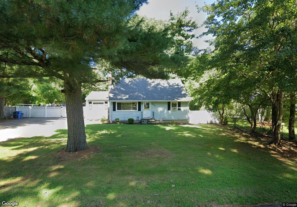
226 Janice Cir Wrentham, MA 02093
Estimated Value: $560,000 - $637,000
4
Beds
2
Baths
1,604
Sq Ft
$379/Sq Ft
Est. Value
About This Home
This home is located at 226 Janice Cir, Wrentham, MA 02093 and is currently estimated at $607,904, approximately $378 per square foot. 226 Janice Cir is a home located in Norfolk County with nearby schools including Delaney Elementary School, Charles E Roderick, and The Sage School.
Ownership History
Date
Name
Owned For
Owner Type
Purchase Details
Closed on
Aug 18, 2011
Sold by
Ragucci Franci J
Bought by
Lennon Marilyn
Current Estimated Value
Home Financials for this Owner
Home Financials are based on the most recent Mortgage that was taken out on this home.
Original Mortgage
$238,789
Outstanding Balance
$162,847
Interest Rate
4.25%
Mortgage Type
FHA
Estimated Equity
$445,057
Purchase Details
Closed on
Feb 4, 2005
Sold by
Kajano Joann and Ragucci Lillian C
Bought by
Ragucci Francis J
Home Financials for this Owner
Home Financials are based on the most recent Mortgage that was taken out on this home.
Original Mortgage
$220,000
Interest Rate
5.77%
Mortgage Type
Purchase Money Mortgage
Create a Home Valuation Report for This Property
The Home Valuation Report is an in-depth analysis detailing your home's value as well as a comparison with similar homes in the area
Home Values in the Area
Average Home Value in this Area
Purchase History
| Date | Buyer | Sale Price | Title Company |
|---|---|---|---|
| Lennon Marilyn | $245,000 | -- | |
| Ragucci Francis J | $280,000 | -- |
Source: Public Records
Mortgage History
| Date | Status | Borrower | Loan Amount |
|---|---|---|---|
| Open | Lennon Marilyn | $238,789 | |
| Previous Owner | Ragucci Francis J | $220,000 |
Source: Public Records
Tax History Compared to Growth
Tax History
| Year | Tax Paid | Tax Assessment Tax Assessment Total Assessment is a certain percentage of the fair market value that is determined by local assessors to be the total taxable value of land and additions on the property. | Land | Improvement |
|---|---|---|---|---|
| 2025 | $6,055 | $522,400 | $291,600 | $230,800 |
| 2024 | $5,888 | $490,700 | $291,600 | $199,100 |
| 2023 | $5,632 | $446,300 | $265,100 | $181,200 |
| 2022 | $4,851 | $354,900 | $204,100 | $150,800 |
| 2021 | $5,027 | $357,300 | $213,800 | $143,500 |
| 2020 | $5,009 | $351,500 | $192,800 | $158,700 |
| 2019 | $4,643 | $328,800 | $178,000 | $150,800 |
| 2018 | $4,470 | $313,900 | $178,100 | $135,800 |
| 2017 | $4,244 | $297,800 | $174,600 | $123,200 |
| 2016 | $4,147 | $290,400 | $169,600 | $120,800 |
| 2015 | $4,030 | $269,000 | $163,000 | $106,000 |
| 2014 | $3,783 | $247,100 | $143,700 | $103,400 |
Source: Public Records
Map
Nearby Homes
- 1 Lorraine Metcalf Dr
- 362 East St
- 270 Dedham St
- 10 Nature View Dr
- 15 Nature View Dr
- 65 Pond St
- 319 Taunton St
- 131 Creek St Unit 7
- 120 Hawes St
- 11 Earle Stewart Ln
- 25 Foxboro Rd
- 483 Thurston St
- Lot 3 - 14 Earle Stewart Ln
- 246 Forest Grove Ave
- Lot 1 - Blueberry 2 Car Plan at King Philip Estates
- Lot 8 - Blueberry 2 Car Plan at King Philip Estates
- Lot 6 - Blueberry 3 Car Plan at King Philip Estates
- Lot 2 - Camden 2 Car Plan at King Philip Estates
- Lot 7 - Cedar Plan at King Philip Estates
- Lot 4 - Hemingway 2 Car Plan at King Philip Estates
- 218 Janice Cir
- 124 Hamilton Rd
- 154 Janice Cir
- 136 Hamilton Rd
- 162 Janice Cir
- 198 Janice Cir
- 223 Janice Cir
- 121 Hamilton Rd
- 215 Janice Cir
- 110 Hamilton Rd
- 207 Janice Cir
- 186 Janice Cir
- 129 Hamilton Rd
- 109 Hamilton Rd
- 137 Hamilton Rd
- 199 Janice Cir
- 102 Hamilton Rd
- 191 Janice Cir
- 201 Janice Cir
- 151 Janice Cir