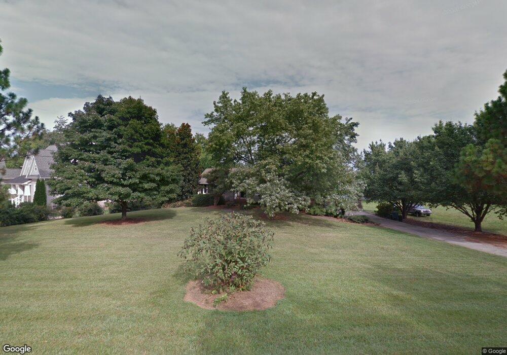
226 Lakeshore Dr Mooresville, NC 28117
Estimated Value: $1,111,333
3
Beds
5
Baths
1,832
Sq Ft
$607/Sq Ft
Est. Value
About This Home
This home is located at 226 Lakeshore Dr, Mooresville, NC 28117 and is currently priced at $1,111,333, approximately $606 per square foot. 226 Lakeshore Dr is a home located in Iredell County with nearby schools including Coddle Creek Elementary School, Lake Norman High School, and Langtree Charter Academy.
Ownership History
Date
Name
Owned For
Owner Type
Purchase Details
Closed on
Jan 28, 2024
Sold by
Reid James William and Reid Pamela Lynn
Bought by
James W Reid Iii Family Trust and Reid
Current Estimated Value
Purchase Details
Closed on
Nov 10, 2022
Sold by
Reid James William and Reid Pamela Lynn
Bought by
James W Reid Iii Family Trust
Purchase Details
Closed on
Feb 1, 1988
Purchase Details
Closed on
May 1, 1986
Purchase Details
Closed on
Apr 1, 1986
Purchase Details
Closed on
Jun 1, 1982
Purchase Details
Closed on
Jun 1, 1972
Create a Home Valuation Report for This Property
The Home Valuation Report is an in-depth analysis detailing your home's value as well as a comparison with similar homes in the area
Home Values in the Area
Average Home Value in this Area
Purchase History
| Date | Buyer | Sale Price | Title Company |
|---|---|---|---|
| James W Reid Iii Family Trust | -- | None Listed On Document | |
| James W Reid Iii Family Trust | -- | None Listed On Document | |
| -- | $2,000 | -- | |
| -- | $144,000 | -- | |
| -- | -- | -- | |
| -- | $17,500 | -- | |
| -- | -- | -- |
Source: Public Records
Tax History Compared to Growth
Tax History
| Year | Tax Paid | Tax Assessment Tax Assessment Total Assessment is a certain percentage of the fair market value that is determined by local assessors to be the total taxable value of land and additions on the property. | Land | Improvement |
|---|---|---|---|---|
| 2023 | $6,608 | $1,109,800 | $585,000 | $524,800 |
| 2022 | $4,731 | $744,400 | $382,500 | $361,900 |
| 2021 | $4,727 | $744,400 | $382,500 | $361,900 |
| 2020 | $4,727 | $744,400 | $382,500 | $361,900 |
| 2019 | $4,392 | $725,640 | $382,500 | $343,140 |
| 2018 | $3,315 | $555,390 | $382,500 | $172,890 |
| 2017 | $3,315 | $555,390 | $382,500 | $172,890 |
| 2016 | $3,315 | $555,390 | $382,500 | $172,890 |
| 2015 | $3,287 | $555,390 | $382,500 | $172,890 |
| 2014 | $3,048 | $565,280 | $382,500 | $182,780 |
Source: Public Records
Map
Nearby Homes
- 120 Lakeshore Dr
- 728 Langtree Rd
- 116 Lakewood Circle Dr
- 165 Knoxview Ln
- 804 Langtree Rd
- 125 Slocumb Ln
- 124 Slocumb Ln
- 169 Southhaven Dr
- 132 Bridgeport Dr
- 522 Langtree Rd
- 103 Turnerlair Ct
- 15.4 Acres Langtree Rd
- 134 Lawrence Tee Ln
- 166 Iron Gate Cir
- 117 Lanyard Dr Unit E
- 117 Lanyard Dr Unit D
- 122 Lanyard Dr Unit B
- 22554 John Gamble Rd
- 102 Eastham Ct
- 101 Lynn Cove Ln
- 218 Lakeshore Dr
- 234 Lakeshore Dr
- 234 Lakeshore Dr Unit 1
- 102 Viewpoint Ln
- 0 Lakeshore Dr Unit 15 2159745
- 0 Lakeshore Dr Unit 15 3003916
- 221 Lakeshore Dr
- 19 Viewpoint Ln Unit 19
- 217 Lakeshore Dr
- 202 Lakeshore Dr
- 19 View Point Ln Unit 19
- L19B-C Viewpoint Ln
- L-19BC Viewpoint Ln Unit L19BC
- 245 Lakeshore Dr
- 239 Lakeshore Dr
- 118 Aqua Dr
- 139 Lakeshore Dr
- 110 Aqua Dr
- 131 Lakeshore Dr
- 196 Lakeshore Dr