226 Lassetter Rd Carrollton, GA 30117
Abilene NeighborhoodEstimated Value: $569,000 - $2,248,712
3
Beds
4
Baths
2,553
Sq Ft
$552/Sq Ft
Est. Value
About This Home
This home is located at 226 Lassetter Rd, Carrollton, GA 30117 and is currently estimated at $1,408,856, approximately $551 per square foot. 226 Lassetter Rd is a home located in Carroll County with nearby schools including Mt. Zion Elementary School, Mt. Zion Middle School, and Mt. Zion High School.
Ownership History
Date
Name
Owned For
Owner Type
Purchase Details
Closed on
Sep 25, 2018
Sold by
Jordan Debra L
Bought by
Reid Robert L and Reid Sherri
Current Estimated Value
Purchase Details
Closed on
Oct 27, 2003
Sold by
Jordan Debra L and Jordan Ronnie
Bought by
Jordan Debra L
Purchase Details
Closed on
Oct 24, 2003
Sold by
Jordan Debra L and Jordan Ronnie
Bought by
Jordan Debra L
Purchase Details
Closed on
Apr 1, 2003
Sold by
Jordan Ronnie H
Bought by
Jordan Debra L
Purchase Details
Closed on
Jan 1, 1976
Bought by
Jordan Ronnie H
Create a Home Valuation Report for This Property
The Home Valuation Report is an in-depth analysis detailing your home's value as well as a comparison with similar homes in the area
Home Values in the Area
Average Home Value in this Area
Purchase History
| Date | Buyer | Sale Price | Title Company |
|---|---|---|---|
| Reid Robert L | -- | -- | |
| Jordan Debra L | -- | -- | |
| Jordan Debra L | -- | -- | |
| Jordan Debra L | -- | -- | |
| Jordan Ronnie H | -- | -- |
Source: Public Records
Tax History Compared to Growth
Tax History
| Year | Tax Paid | Tax Assessment Tax Assessment Total Assessment is a certain percentage of the fair market value that is determined by local assessors to be the total taxable value of land and additions on the property. | Land | Improvement |
|---|---|---|---|---|
| 2024 | -- | $1,035,880 | $635,579 | $400,301 |
| 2023 | $0 | $747,148 | $369,883 | $377,265 |
| 2022 | $701 | $502,004 | $246,584 | $255,420 |
| 2021 | $1,064 | $425,958 | $197,268 | $228,690 |
| 2020 | $5,670 | $363,873 | $169,401 | $194,472 |
| 2019 | $5,747 | $354,274 | $169,401 | $184,873 |
| 2018 | $5,544 | $346,280 | $169,642 | $176,638 |
| 2017 | $5,501 | $346,280 | $169,642 | $176,638 |
| 2016 | $5,451 | $346,280 | $169,642 | $176,638 |
| 2015 | $5,126 | $245,483 | $122,407 | $123,076 |
| 2014 | $5,095 | $245,483 | $122,407 | $123,076 |
Source: Public Records
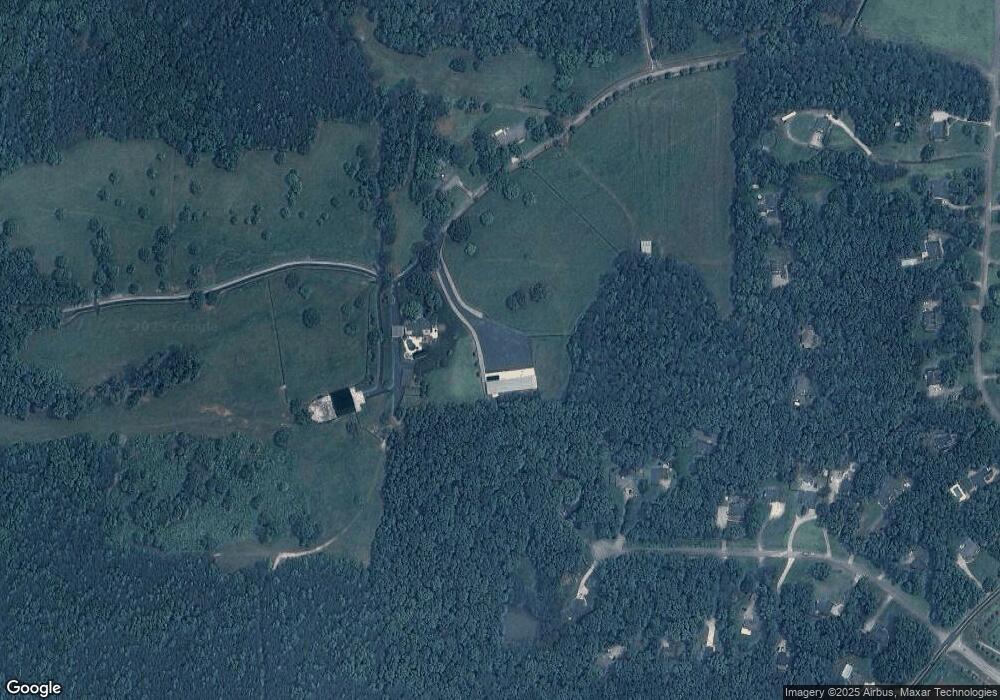
Map
Nearby Homes
- 102 Buell Jones Rd
- 45 Buell Jones Rd
- 125 Springwood Dr
- 219 Candlewood Dr
- 2464 N 27 Highway & Bagwell Rd
- 114 Kyle Way
- 345 Henson Cir
- 0000 Hog Liver Rd
- 0 Henson Cir Unit 10584639
- 0 Henson Cir Unit 7632920
- 50 Green Acres Dr
- 2519 Hog Liver Rd
- 2990 N Highway 27
- 70 Henson Cir
- 0 Hwy 27 N
- 85 Mary Ln
- 1015 Mote Rd
- 524 Old Bremen Rd
- 77 Little River Rd
- 169 Laurel Creek Ct
- 163 Laurel Creek Ct
- 157 Laurel Creek Ct
- 151 Laurel Creek Ct
- 151 Laurel Creek Ct Unit Phs II
- 187 Lassetter Rd
- 166 Laurel Creek Ct
- 171 Lassetter Rd
- 145 Laurel Creek Ct
- 139 Laurel Creek Ct
- 50 Buell Jones Rd
- 14 Buell Jones Rd
- 160 Laurel Creek Ct
- 154 Laurel Creek Ct
- 82 Buell Jones Rd
- 32 Buell Jones Rd
- 133 Laurel Creek Ct
- 131 Lassetter Rd
- 0 Laurel Creek Ct Unit 9012471
- 0 Laurel Creek Ct Unit 8881985