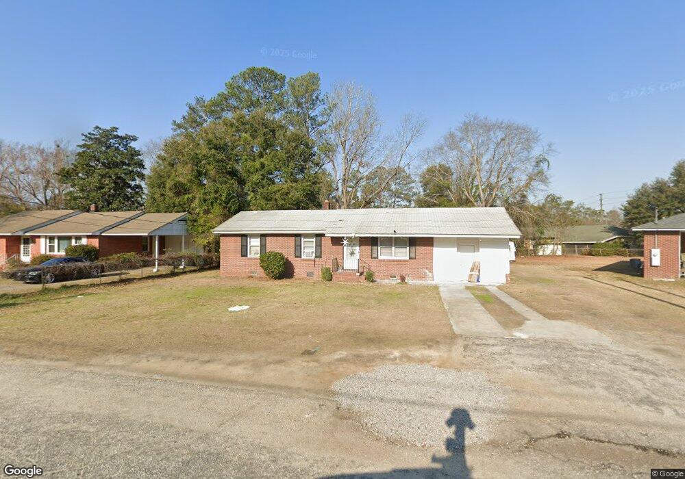
226 Lawrence St Sumter, SC 29150
Folsom Park NeighborhoodEstimated Value: $111,000 - $145,000
3
Beds
2
Baths
1,155
Sq Ft
$111/Sq Ft
Est. Value
About This Home
This home is located at 226 Lawrence St, Sumter, SC 29150 and is currently estimated at $128,257, approximately $111 per square foot. 226 Lawrence St is a home located in Sumter County with nearby schools including Willow Drive Elementary School, Alice Drive Middle School, and Sumter High School.
Ownership History
Date
Name
Owned For
Owner Type
Purchase Details
Closed on
Jul 28, 2010
Sold by
Clark Marion Lewis and Ray Margaret C
Bought by
Tindal Verneshia M
Current Estimated Value
Home Financials for this Owner
Home Financials are based on the most recent Mortgage that was taken out on this home.
Original Mortgage
$5,000
Outstanding Balance
$3,278
Interest Rate
4.61%
Mortgage Type
Stand Alone Second
Estimated Equity
$124,979
Purchase Details
Closed on
May 31, 2005
Sold by
Clark Mary Q
Bought by
Clark Marion Lewis and Ray Margaret C
Create a Home Valuation Report for This Property
The Home Valuation Report is an in-depth analysis detailing your home's value as well as a comparison with similar homes in the area
Home Values in the Area
Average Home Value in this Area
Purchase History
| Date | Buyer | Sale Price | Title Company |
|---|---|---|---|
| Tindal Verneshia M | $69,000 | -- | |
| Clark Marion Lewis | -- | -- |
Source: Public Records
Mortgage History
| Date | Status | Borrower | Loan Amount |
|---|---|---|---|
| Open | Tindal Verneshia M | $5,000 | |
| Open | Tindal Verneshia M | $68,083 |
Source: Public Records
Tax History
| Year | Tax Paid | Tax Assessment Tax Assessment Total Assessment is a certain percentage of the fair market value that is determined by local assessors to be the total taxable value of land and additions on the property. | Land | Improvement |
|---|---|---|---|---|
| 2025 | $561 | $2,830 | $400 | $2,430 |
| 2024 | $561 | $2,830 | $400 | $2,430 |
| 2023 | $561 | $2,830 | $400 | $2,430 |
| 2022 | $558 | $2,830 | $400 | $2,430 |
| 2021 | $545 | $2,830 | $400 | $2,430 |
| 2020 | $545 | $2,600 | $400 | $2,200 |
| 2019 | $539 | $2,600 | $400 | $2,200 |
| 2018 | $520 | $2,600 | $400 | $2,200 |
| 2017 | $529 | $2,600 | $400 | $2,200 |
| 2016 | $536 | $2,600 | $400 | $2,200 |
| 2015 | $573 | $2,710 | $400 | $2,310 |
| 2014 | $573 | $2,710 | $400 | $2,310 |
| 2013 | -- | $2,710 | $400 | $2,310 |
Source: Public Records
Map
Nearby Homes
- 5 Hilliard Dr
- 251 Rast St Unit L1
- 251 Rast St Unit N4
- 251 Rast St Unit D-5
- 15 Community St
- 3 Herbert Cir
- 11 Wallace St
- 23 Middle St
- 24 Community St
- 811 Jessamine Trail Unit 29
- 811 Jessamine Trail Unit 811, 821, 831
- 1879 Coral Way#1873
- 17 Shuler Dr
- 807 N Guignard Dr
- 3061&87 Broad St
- 407 Highland Ave
- 6 Thomas Dr
- 148 Carolina Ave
- 2026 Gion St
- 921 Grimble Ct
Your Personal Tour Guide
Ask me questions while you tour the home.