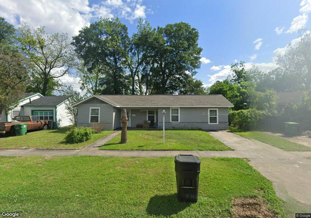
226 Lena Dr Houston, TX 77022
Independence Heights NeighborhoodEstimated Value: $174,362 - $235,000
2
Beds
1
Bath
1,320
Sq Ft
$157/Sq Ft
Est. Value
About This Home
This home is located at 226 Lena Dr, Houston, TX 77022 and is currently estimated at $206,591, approximately $156 per square foot. 226 Lena Dr is a home located in Harris County with nearby schools including Kennedy Elementary School, Williams Middle, and Booker T Washington Sr High.
Ownership History
Date
Name
Owned For
Owner Type
Purchase Details
Closed on
Apr 29, 2008
Sold by
Perez Jose L
Bought by
Perez Rosa D
Current Estimated Value
Home Financials for this Owner
Home Financials are based on the most recent Mortgage that was taken out on this home.
Original Mortgage
$56,250
Interest Rate
5.86%
Mortgage Type
New Conventional
Purchase Details
Closed on
Dec 14, 2000
Sold by
Henderson Thomas H and Jackson Judy
Bought by
Perez Jose L
Home Financials for this Owner
Home Financials are based on the most recent Mortgage that was taken out on this home.
Original Mortgage
$31,950
Interest Rate
7.72%
Create a Home Valuation Report for This Property
The Home Valuation Report is an in-depth analysis detailing your home's value as well as a comparison with similar homes in the area
Home Values in the Area
Average Home Value in this Area
Purchase History
| Date | Buyer | Sale Price | Title Company |
|---|---|---|---|
| Perez Rosa D | -- | American Title Co | |
| Perez Jose L | -- | -- |
Source: Public Records
Mortgage History
| Date | Status | Borrower | Loan Amount |
|---|---|---|---|
| Closed | Perez Rosa D | $56,250 | |
| Closed | Perez Jose L | $31,950 |
Source: Public Records
Tax History Compared to Growth
Tax History
| Year | Tax Paid | Tax Assessment Tax Assessment Total Assessment is a certain percentage of the fair market value that is determined by local assessors to be the total taxable value of land and additions on the property. | Land | Improvement |
|---|---|---|---|---|
| 2025 | $3,370 | $165,665 | $113,587 | $52,078 |
| 2024 | $3,370 | $161,045 | $113,587 | $47,458 |
| 2023 | $3,370 | $138,842 | $90,870 | $47,972 |
| 2022 | $2,896 | $131,517 | $90,870 | $40,647 |
| 2021 | $2,919 | $125,255 | $90,870 | $34,385 |
| 2020 | $2,173 | $89,744 | $45,435 | $44,309 |
| 2019 | $2,271 | $89,744 | $45,435 | $44,309 |
| 2018 | $1,717 | $67,854 | $26,504 | $41,350 |
| 2017 | $1,716 | $67,854 | $26,504 | $41,350 |
| 2016 | $1,593 | $63,015 | $18,931 | $44,084 |
| 2015 | $1,172 | $53,126 | $18,931 | $34,195 |
| 2014 | $1,172 | $45,586 | $18,931 | $26,655 |
Source: Public Records
Map
Nearby Homes
- 147 Knightsbridge Park Ln
- 144 Knightsbridge Park Ln
- 115 E Thornton Rd
- 303 Victoria Dr
- 0 Victoria Unit 54691087
- 4605 Yale St Unit C
- 4605 Yale St Unit A
- 4605 Yale St Unit J
- 4510 Old Yale St Unit A
- 107 W Whitney St Unit E
- 107 W Whitney St Unit C
- 310 Walthall Dr
- 4423 Yale St
- 320 Thornton Rd
- 312 Walthall Dr
- 219 E Janisch Rd
- 330 Spell St
- 4435 Whitney Oak Ln
- 225 Noras Ln Unit E
- 4707 Thornton Villas Ln