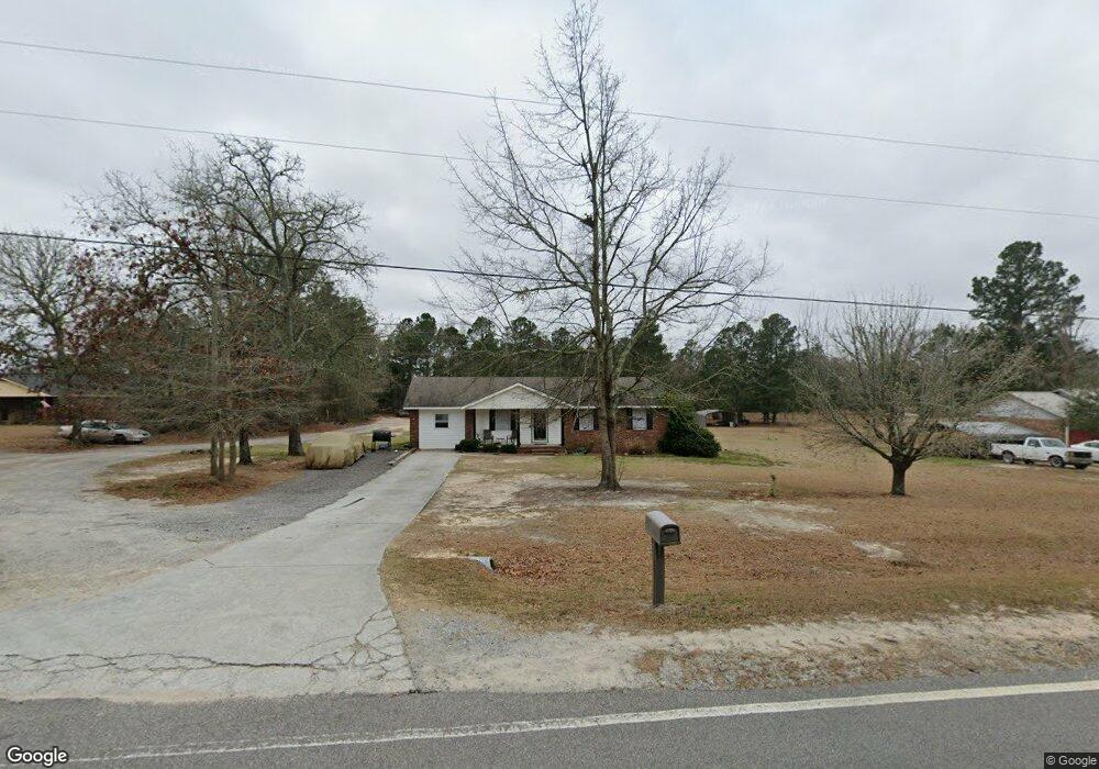
226 May Rd Thomson, GA 30824
Estimated Value: $143,000 - $186,337
2
Beds
2
Baths
1,325
Sq Ft
$128/Sq Ft
Est. Value
About This Home
This home is located at 226 May Rd, Thomson, GA 30824 and is currently estimated at $169,112, approximately $127 per square foot. 226 May Rd is a home located in McDuffie County with nearby schools including Thomson High School.
Ownership History
Date
Name
Owned For
Owner Type
Purchase Details
Closed on
Feb 15, 2005
Sold by
Jones Charles K
Bought by
Cummings Kurtris
Current Estimated Value
Home Financials for this Owner
Home Financials are based on the most recent Mortgage that was taken out on this home.
Original Mortgage
$80,240
Outstanding Balance
$39,863
Interest Rate
5.61%
Mortgage Type
FHA
Estimated Equity
$129,249
Purchase Details
Closed on
Nov 2, 2004
Sold by
Lockhart Jennie C
Bought by
Jones Charles K
Purchase Details
Closed on
Apr 5, 1994
Bought by
Lockhart Jennie C
Create a Home Valuation Report for This Property
The Home Valuation Report is an in-depth analysis detailing your home's value as well as a comparison with similar homes in the area
Home Values in the Area
Average Home Value in this Area
Purchase History
| Date | Buyer | Sale Price | Title Company |
|---|---|---|---|
| Cummings Kurtris | $81,500 | -- | |
| Jones Charles K | $58,000 | -- | |
| Lockhart Jennie C | $50,500 | -- |
Source: Public Records
Mortgage History
| Date | Status | Borrower | Loan Amount |
|---|---|---|---|
| Open | Cummings Kurtris | $80,240 |
Source: Public Records
Tax History
| Year | Tax Paid | Tax Assessment Tax Assessment Total Assessment is a certain percentage of the fair market value that is determined by local assessors to be the total taxable value of land and additions on the property. | Land | Improvement |
|---|---|---|---|---|
| 2025 | $1,327 | $59,627 | $3,849 | $55,778 |
| 2024 | $1,327 | $56,602 | $3,468 | $53,134 |
| 2023 | $1,295 | $54,436 | $3,468 | $50,968 |
| 2022 | $1,026 | $41,448 | $3,468 | $37,980 |
| 2021 | $827 | $33,601 | $3,367 | $30,234 |
| 2020 | $712 | $29,264 | $2,669 | $26,595 |
| 2019 | $720 | $29,264 | $2,669 | $26,595 |
| 2018 | $803 | $32,185 | $2,669 | $29,516 |
| 2017 | $775 | $32,185 | $2,669 | $29,516 |
| 2016 | $775 | $32,185 | $2,669 | $29,516 |
| 2015 | $755 | $34,145 | $4,630 | $29,516 |
| 2014 | $757 | $34,146 | $4,630 | $29,516 |
| 2013 | -- | $34,146 | $4,630 | $29,515 |
Source: Public Records
Map
Nearby Homes
- 789 George McDuffie Rd
- 1543 Wrens Hwy
- 0 Mitchner Rd Unit 548843
- 000 Wrens Hwy
- 3553 Gant Jackson Rd
- 3786 Wire Rd
- 3796 Wire Rd
- 1451 Central Road Extension
- 0 Wrens Hwy Unit 10652460
- 0 Wrens Hwy Unit 549833
- 1463 Lokey Dr
- 354 King St
- 118 Langham St
- 4334 Sandhill Rd
- 67 Shadowmoor Cir
- 306 Michael St
- 4327 Fish Hatchery Rd
- 709 Pine Lane Dr
- 609 Hillcrest Dr
- 1037 Berkley Ct
Your Personal Tour Guide
Ask me questions while you tour the home.