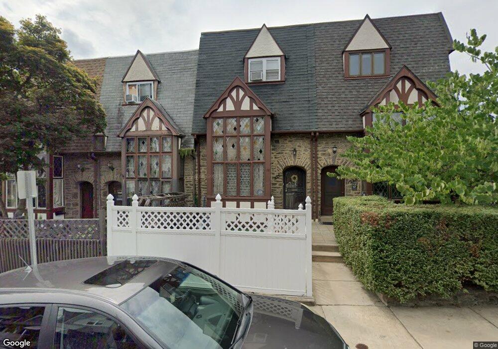
226 Maypole Rd Upper Darby, PA 19082
Estimated Value: $208,000 - $293,000
3
Beds
2
Baths
1,562
Sq Ft
$152/Sq Ft
Est. Value
About This Home
This home is located at 226 Maypole Rd, Upper Darby, PA 19082 and is currently estimated at $237,565, approximately $152 per square foot. 226 Maypole Rd is a home located in Delaware County with nearby schools including Upper Darby Kdg Center, Upper Darby High School, and Philadelphia Christian Academy.
Ownership History
Date
Name
Owned For
Owner Type
Purchase Details
Closed on
Aug 31, 2001
Sold by
Kariouk John D and Hunchak Kariouk Kathryn
Bought by
Saint Val Marie
Current Estimated Value
Home Financials for this Owner
Home Financials are based on the most recent Mortgage that was taken out on this home.
Original Mortgage
$69,441
Outstanding Balance
$27,078
Interest Rate
6.99%
Mortgage Type
FHA
Estimated Equity
$210,487
Create a Home Valuation Report for This Property
The Home Valuation Report is an in-depth analysis detailing your home's value as well as a comparison with similar homes in the area
Home Values in the Area
Average Home Value in this Area
Purchase History
| Date | Buyer | Sale Price | Title Company |
|---|---|---|---|
| Saint Val Marie | $69,990 | Fidelity National Title Ins |
Source: Public Records
Mortgage History
| Date | Status | Borrower | Loan Amount |
|---|---|---|---|
| Open | Saint Val Marie | $69,441 |
Source: Public Records
Tax History Compared to Growth
Tax History
| Year | Tax Paid | Tax Assessment Tax Assessment Total Assessment is a certain percentage of the fair market value that is determined by local assessors to be the total taxable value of land and additions on the property. | Land | Improvement |
|---|---|---|---|---|
| 2025 | $3,890 | $91,990 | $22,220 | $69,770 |
| 2024 | $3,890 | $91,990 | $22,220 | $69,770 |
| 2023 | $3,854 | $91,990 | $22,220 | $69,770 |
| 2022 | $3,750 | $91,990 | $22,220 | $69,770 |
| 2021 | $5,057 | $91,990 | $22,220 | $69,770 |
| 2020 | $4,091 | $63,240 | $17,280 | $45,960 |
| 2019 | $4,019 | $63,240 | $17,280 | $45,960 |
| 2018 | $3,973 | $63,240 | $0 | $0 |
| 2017 | $3,869 | $63,240 | $0 | $0 |
| 2016 | $347 | $63,240 | $0 | $0 |
| 2015 | $347 | $63,240 | $0 | $0 |
| 2014 | $347 | $63,240 | $0 | $0 |
Source: Public Records
Map
Nearby Homes
- 7139 Guilford Rd
- 607 Littlecroft Rd
- 504 Woodcliffe Rd
- 513 Woodcliffe Rd
- 346 Long Ln
- 418 Hampden Rd
- 424 Woodcliffe Rd
- 669 Long Ln
- 404 Croyden Rd
- 7155 Radbourne Rd
- 432 Grace Rd
- 517 Wiltshire Rd
- 525 Wiltshire Rd
- 7162 Radbourne Rd
- 6982 Clinton Rd
- 351 Long Ln
- 7114 Locust St
- 268 Hampden Rd
- 210 Long Ln
- 7265 Calvin Rd
- 224 Maypole Rd
- 222 Maypole Rd
- 230 Maypole Rd
- 542 Littlecroft Rd
- 229 Richfield Rd
- 540 Littlecroft Rd
- 227 Richfield Rd
- 538 Littlecroft Rd
- 536 Littlecroft Rd
- 7108 Ruskin Ln
- 7106 Ruskin Ln
- 7104 Ruskin Ln
- 7102 Ruskin Ln
- 7110 Ruskin Ln
- 7112 Ruskin Ln
- 223 Richfield Rd
- 7100 Ruskin Ln
- 534 Littlecroft Rd
- 7114 Ruskin Ln
- 554 Littlecroft Rd