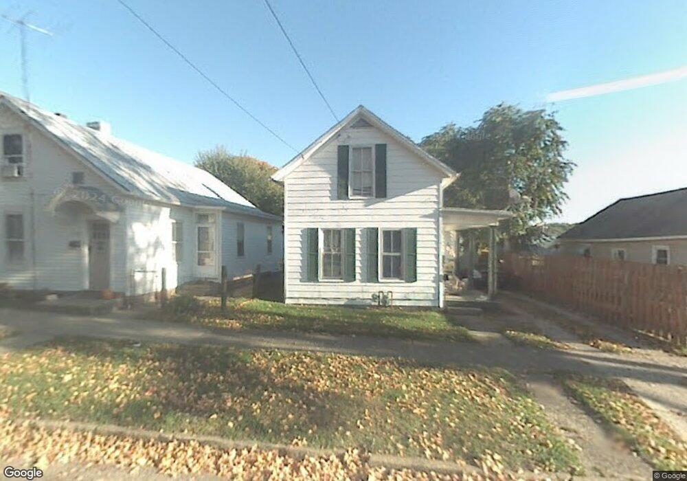
226 Perry St Lancaster, OH 43130
Estimated Value: $102,005 - $185,000
2
Beds
1
Bath
965
Sq Ft
$150/Sq Ft
Est. Value
About This Home
This home is located at 226 Perry St, Lancaster, OH 43130 and is currently estimated at $144,501, approximately $149 per square foot. 226 Perry St is a home located in Fairfield County with nearby schools including Thomas Ewing Junior High School, Lancaster High School, and St Mary Elementary School.
Ownership History
Date
Name
Owned For
Owner Type
Purchase Details
Closed on
Jun 1, 2015
Sold by
Moore Justin B and Moore Amy S
Bought by
Sherman Matthew Steven
Current Estimated Value
Purchase Details
Closed on
May 30, 2014
Sold by
Moore John William
Bought by
Moore Justin B and Moore Amy S
Purchase Details
Closed on
Dec 23, 2003
Sold by
Moore Darnell
Bought by
Moore John William
Purchase Details
Closed on
Oct 1, 1989
Create a Home Valuation Report for This Property
The Home Valuation Report is an in-depth analysis detailing your home's value as well as a comparison with similar homes in the area
Home Values in the Area
Average Home Value in this Area
Purchase History
| Date | Buyer | Sale Price | Title Company |
|---|---|---|---|
| Sherman Matthew Steven | $30,000 | Attorney | |
| Moore Justin B | -- | Attorney | |
| Moore John William | -- | -- | |
| -- | $24,000 | -- |
Source: Public Records
Tax History Compared to Growth
Tax History
| Year | Tax Paid | Tax Assessment Tax Assessment Total Assessment is a certain percentage of the fair market value that is determined by local assessors to be the total taxable value of land and additions on the property. | Land | Improvement |
|---|---|---|---|---|
| 2024 | $1,832 | $20,380 | $4,710 | $15,670 |
| 2023 | $408 | $20,380 | $4,710 | $15,670 |
| 2022 | $425 | $20,380 | $4,710 | $15,670 |
| 2021 | $305 | $16,530 | $2,980 | $13,550 |
| 2020 | $306 | $16,530 | $2,980 | $13,550 |
| 2019 | $575 | $24,930 | $4,710 | $20,220 |
| 2018 | $605 | $20,090 | $4,710 | $15,380 |
| 2017 | $769 | $20,570 | $5,100 | $15,470 |
| 2016 | $749 | $20,570 | $5,100 | $15,470 |
| 2015 | $767 | $19,900 | $5,100 | $14,800 |
| 2014 | $711 | $19,900 | $5,100 | $14,800 |
| 2013 | $711 | $19,900 | $5,100 | $14,800 |
Source: Public Records
Map
Nearby Homes
- 154 E Main St
- 0 N Columbus St
- 441 E Locust St
- 233 Lewis Ave
- 115 E Wheeling St
- 0 N Memorial Dr
- 308 Wheat St
- 545 E Main St
- 571 E Chestnut St
- 534 E Wheeling St
- 153 King St
- 573 Willow St
- 0 Slocum Ave
- 619 E Main St
- 608 E Mulberry St
- 113 N George St
- 629 E Wheeling St
- 312 Witte St
- 1021 Sugar Grove Rd SE
- 515 N Columbus St