Estimated Value: $564,399 - $863,000
3
Beds
3
Baths
2,064
Sq Ft
$316/Sq Ft
Est. Value
About This Home
This home is located at 226 Riverbend Rd, Wells, ME 04090 and is currently estimated at $653,100, approximately $316 per square foot. 226 Riverbend Rd is a home located in York County with nearby schools including Wells Junior High School, Wells Elementary School, and Wells High School.
Ownership History
Date
Name
Owned For
Owner Type
Purchase Details
Closed on
Mar 18, 2022
Sold by
Austin Gail B
Bought by
Austin Alyson P
Current Estimated Value
Home Financials for this Owner
Home Financials are based on the most recent Mortgage that was taken out on this home.
Original Mortgage
$280,000
Outstanding Balance
$260,496
Interest Rate
3.55%
Mortgage Type
Purchase Money Mortgage
Estimated Equity
$392,604
Purchase Details
Closed on
Oct 6, 2005
Sold by
Kotsonis Marianne and Kotsonis John H
Bought by
Austin Gail B and Austin Courtney G
Create a Home Valuation Report for This Property
The Home Valuation Report is an in-depth analysis detailing your home's value as well as a comparison with similar homes in the area
Home Values in the Area
Average Home Value in this Area
Purchase History
| Date | Buyer | Sale Price | Title Company |
|---|---|---|---|
| Austin Alyson P | $350,000 | None Available | |
| Austin Alyson P | $350,000 | None Available | |
| Austin Gail B | -- | -- | |
| Austin Gail B | -- | -- |
Source: Public Records
Mortgage History
| Date | Status | Borrower | Loan Amount |
|---|---|---|---|
| Open | Austin Alyson P | $280,000 | |
| Closed | Austin Alyson P | $280,000 |
Source: Public Records
Tax History Compared to Growth
Tax History
| Year | Tax Paid | Tax Assessment Tax Assessment Total Assessment is a certain percentage of the fair market value that is determined by local assessors to be the total taxable value of land and additions on the property. | Land | Improvement |
|---|---|---|---|---|
| 2024 | $2,736 | $449,960 | $110,080 | $339,880 |
| 2023 | $2,682 | $449,960 | $110,080 | $339,880 |
| 2022 | $2,601 | $248,630 | $52,280 | $196,350 |
| 2021 | $2,596 | $246,810 | $52,280 | $194,530 |
| 2020 | $2,587 | $246,810 | $52,280 | $194,530 |
| 2019 | $2,572 | $246,810 | $52,280 | $194,530 |
| 2018 | $2,501 | $246,810 | $52,280 | $194,530 |
| 2017 | $2,508 | $246,810 | $52,280 | $194,530 |
| 2016 | $2,483 | $246,810 | $52,280 | $194,530 |
| 2015 | $2,456 | $246,810 | $52,280 | $194,530 |
| 2013 | $2,251 | $246,810 | $52,280 | $194,530 |
Source: Public Records
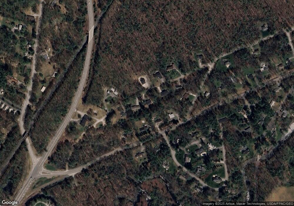
Map
Nearby Homes
- 238 Laudholm Farm Rd
- 53 Hidden Brook Dr Unit 13
- 50 Coles Hill Rd
- 15 Heritage Dr Unit 15
- 66 Nicholas Dr
- 2090 Post Rd Unit 4B
- 2073 Post Rd Unit 5
- 102 Heron Landing Dr Unit 22
- 1830 Post Rd
- 43 Sylvan Way Unit 10
- 557 Coles Hill Rd
- 1801 Post Rd Unit 174
- 1801 Post Rd Unit 190
- 1801 Post Rd Unit 180
- 163 Island Beach Rd
- 1762 Post Rd Unit 209
- 35 Burnt Mill Rd Unit B
- 40 Shorebreezes Ln Unit 40
- 161 Brown St
- 500 Atlantic Ave Unit 2