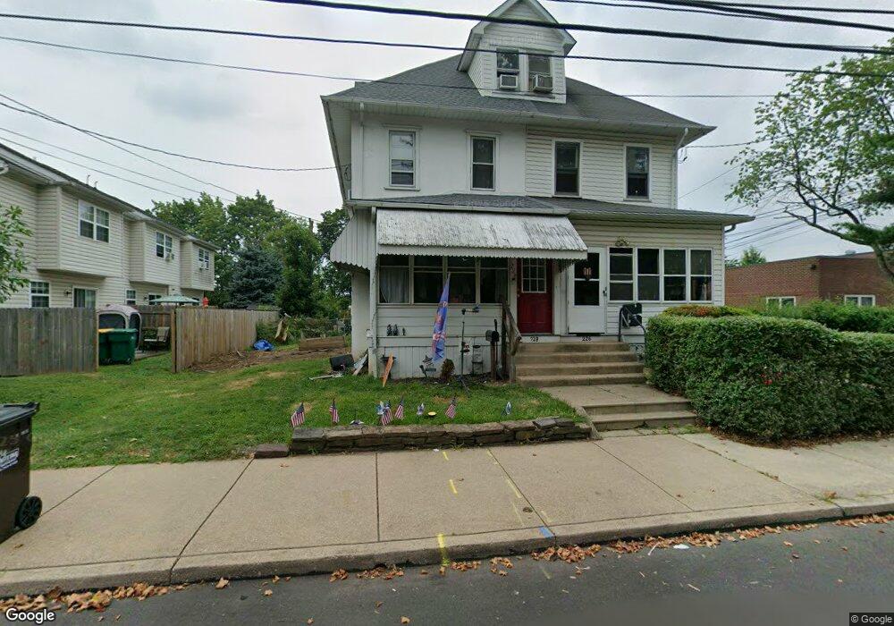
226 S Line St Lansdale, PA 19446
Estimated Value: $367,403 - $380,000
--
Bed
2
Baths
1,753
Sq Ft
$212/Sq Ft
Est. Value
About This Home
This home is located at 226 S Line St, Lansdale, PA 19446 and is currently estimated at $372,351, approximately $212 per square foot. 226 S Line St is a home located in Montgomery County with nearby schools including York Avenue Elementary School, Penndale Middle School, and North Penn Senior High School.
Ownership History
Date
Name
Owned For
Owner Type
Purchase Details
Closed on
Jul 20, 2011
Sold by
Emerson Ensign D and Emerson Judith A
Bought by
Pio Arlene K and Pio Stephen E
Current Estimated Value
Home Financials for this Owner
Home Financials are based on the most recent Mortgage that was taken out on this home.
Original Mortgage
$138,750
Outstanding Balance
$95,456
Interest Rate
4.51%
Estimated Equity
$276,895
Create a Home Valuation Report for This Property
The Home Valuation Report is an in-depth analysis detailing your home's value as well as a comparison with similar homes in the area
Home Values in the Area
Average Home Value in this Area
Purchase History
| Date | Buyer | Sale Price | Title Company |
|---|---|---|---|
| Pio Arlene K | $192,500 | None Available |
Source: Public Records
Mortgage History
| Date | Status | Borrower | Loan Amount |
|---|---|---|---|
| Open | Pio Arlene K | $138,750 |
Source: Public Records
Tax History Compared to Growth
Tax History
| Year | Tax Paid | Tax Assessment Tax Assessment Total Assessment is a certain percentage of the fair market value that is determined by local assessors to be the total taxable value of land and additions on the property. | Land | Improvement |
|---|---|---|---|---|
| 2025 | $4,531 | $107,720 | $41,830 | $65,890 |
| 2024 | $4,531 | $107,720 | $41,830 | $65,890 |
| 2023 | $4,238 | $107,720 | $41,830 | $65,890 |
| 2022 | $4,104 | $107,720 | $41,830 | $65,890 |
| 2021 | $3,937 | $107,720 | $41,830 | $65,890 |
| 2020 | $3,818 | $107,720 | $41,830 | $65,890 |
| 2019 | $3,755 | $107,720 | $41,830 | $65,890 |
| 2018 | $1,007 | $107,720 | $41,830 | $65,890 |
| 2017 | $3,505 | $107,720 | $41,830 | $65,890 |
| 2016 | $3,464 | $107,720 | $41,830 | $65,890 |
| 2015 | $3,214 | $107,720 | $41,830 | $65,890 |
| 2014 | $3,214 | $107,720 | $41,830 | $65,890 |
Source: Public Records
Map
Nearby Homes
- 263 Compass Dr
- 159 Penn St
- 100 Penn St
- 380 E Hancock St Unit 100A
- 380 E Hancock St Unit 104A
- 380 E Hancock St Unit 103A
- 380 E Hancock St Unit 101A
- 380 E Hancock St Unit 103B
- 380 E Hancock St Unit 102B
- 380 E Hancock St Unit 101B
- 380 E Hancock St Unit 100B
- 380 E Hancock St Unit 102A
- 2 N Line St
- 128 S Broad St
- 235 E 2nd St
- 446 E Main St
- 38 Hamilton St
- 135 Third
- 323 Edgewood Ave
- 220 Pennbrook Ave
- 228 S Line St
- 230 S Line St
- 157 E Mount Vernon St
- 220 S Line St
- 154 Prospect Ave
- 151 E Mount Vernon St
- 227 S Line St
- 225 S Line St
- 158 E Mount Vernon St
- 223 S Line St
- 152 Prospect Ave
- 200 E Mount Vernon St Unit 15
- 213 S Line St
- 202 E Mount Vernon St
- 204 E Mount Vernon St
- 115 Almond Dr
- 211 S Line St Unit REAR
- 211 S Line St
- 212 E Mount Vernon St Unit 16
- 212 E Mount Vernon St Unit 3