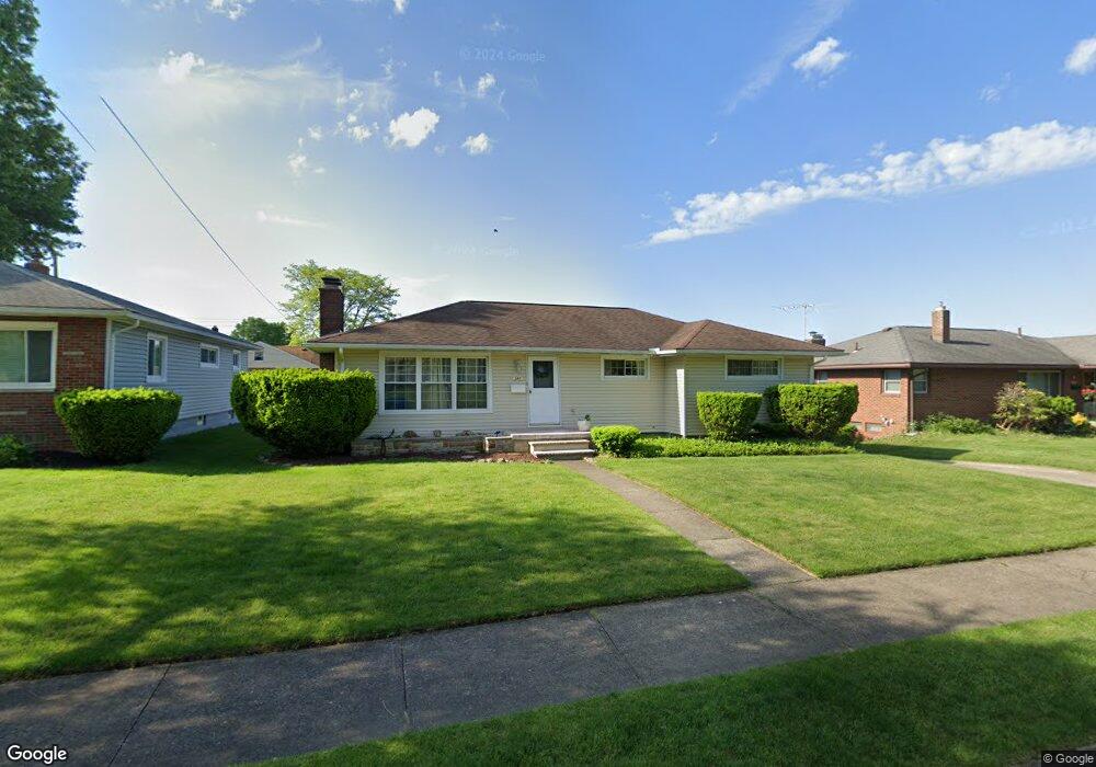
226 Selden Ave Akron, OH 44301
Firestone Park NeighborhoodEstimated Value: $170,578 - $184,000
3
Beds
1
Bath
1,282
Sq Ft
$138/Sq Ft
Est. Value
About This Home
This home is located at 226 Selden Ave, Akron, OH 44301 and is currently estimated at $176,645, approximately $137 per square foot. 226 Selden Ave is a home located in Summit County with nearby schools including Kenmore Garfield Community Learning Center, Main Preparatory Academy, and Eagle Elementary.
Ownership History
Date
Name
Owned For
Owner Type
Purchase Details
Closed on
Jun 15, 2017
Sold by
Mccoy Linda L
Bought by
Flower Michelle L
Current Estimated Value
Purchase Details
Closed on
Jul 15, 2013
Sold by
Mealy Jeffrey
Bought by
Mccoy Linda L and Flower Michelle L
Home Financials for this Owner
Home Financials are based on the most recent Mortgage that was taken out on this home.
Original Mortgage
$52,910
Interest Rate
4.5%
Mortgage Type
FHA
Create a Home Valuation Report for This Property
The Home Valuation Report is an in-depth analysis detailing your home's value as well as a comparison with similar homes in the area
Home Values in the Area
Average Home Value in this Area
Purchase History
| Date | Buyer | Sale Price | Title Company |
|---|---|---|---|
| Flower Michelle L | -- | None Available | |
| Mccoy Linda L | $88,000 | Patriot Title Agency Inc |
Source: Public Records
Mortgage History
| Date | Status | Borrower | Loan Amount |
|---|---|---|---|
| Previous Owner | Mccoy Linda L | $52,910 |
Source: Public Records
Tax History
| Year | Tax Paid | Tax Assessment Tax Assessment Total Assessment is a certain percentage of the fair market value that is determined by local assessors to be the total taxable value of land and additions on the property. | Land | Improvement |
|---|---|---|---|---|
| 2024 | $2,540 | $47,387 | $10,941 | $36,446 |
| 2023 | $2,540 | $47,387 | $10,941 | $36,446 |
| 2022 | $2,389 | $34,917 | $7,928 | $26,989 |
| 2021 | $2,391 | $34,917 | $7,928 | $26,989 |
| 2020 | $2,356 | $34,920 | $7,930 | $26,990 |
| 2019 | $2,296 | $30,880 | $7,930 | $22,950 |
| 2018 | $2,265 | $30,880 | $7,930 | $22,950 |
| 2017 | $2,301 | $30,880 | $7,930 | $22,950 |
| 2016 | $2,303 | $30,880 | $7,930 | $22,950 |
| 2015 | $2,301 | $30,880 | $7,930 | $22,950 |
| 2014 | $2,283 | $30,880 | $7,930 | $22,950 |
| 2013 | $2,296 | $30,920 | $7,930 | $22,990 |
Source: Public Records
Map
Nearby Homes
- 231 E Dresden Ave
- 1835 Thornapple Ave
- 106 Selden Ave
- 244 E Catawba Ave
- 248 E Catawba Ave
- 76 Clinton Ave
- 367 Wayne Ave
- 1810 Carter Ave
- 30 Youtz Ave
- 1878 Carter Ave Unit 1880
- 1595 Evergreen Ave
- 178 Mission Dr
- 127 Palmetto Ave
- 41 W Woodsdale Ave
- 14 E Dartmore Ave
- 457 S Firestone Blvd
- 29 E Dartmore Ave
- 502 E Woodsdale Ave
- 416 Rockys Run Rd
- 154 Crescent Dr
- 232 Selden Ave
- 220 Selden Ave
- 225 E Dresden Ave
- 212 Selden Ave
- 217 E Dresden Ave
- 238 Selden Ave
- 235 Selden Ave
- 235 E Dresden Ave
- 225 Selden Ave
- 211 E Dresden Ave
- 217 Selden Ave
- 206 Selden Ave
- 246 Selden Ave
- 205 E Dresden Ave
- 209 Selden Ave
- 200 Selden Ave
- 241 Selden Ave
- 245 E Dresden Ave
- 201 E Dresden Ave
- 1842 Thornapple Ave
Your Personal Tour Guide
Ask me questions while you tour the home.