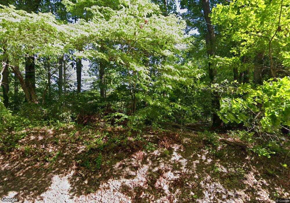
226 Shady Cove Rd Troutman, NC 28166
Estimated Value: $668,000 - $1,131,000
3
Beds
3
Baths
1,290
Sq Ft
$717/Sq Ft
Est. Value
About This Home
This home is located at 226 Shady Cove Rd, Troutman, NC 28166 and is currently estimated at $925,349, approximately $717 per square foot. 226 Shady Cove Rd is a home located in Iredell County with nearby schools including Troutman Elementary School, Troutman Middle School, and South Iredell High School.
Ownership History
Date
Name
Owned For
Owner Type
Purchase Details
Closed on
Nov 20, 2019
Sold by
Strong David A and Strong Kimberly P
Bought by
Strong David A and Strong Family Revocable Trust
Current Estimated Value
Purchase Details
Closed on
Oct 10, 2001
Sold by
Louttit Joan S
Bought by
Peters Strong David Alan and Peters Strong Kimberly
Home Financials for this Owner
Home Financials are based on the most recent Mortgage that was taken out on this home.
Original Mortgage
$135,000
Interest Rate
6.87%
Mortgage Type
Seller Take Back
Purchase Details
Closed on
Jun 1, 1987
Purchase Details
Closed on
Jun 1, 1970
Create a Home Valuation Report for This Property
The Home Valuation Report is an in-depth analysis detailing your home's value as well as a comparison with similar homes in the area
Home Values in the Area
Average Home Value in this Area
Purchase History
| Date | Buyer | Sale Price | Title Company |
|---|---|---|---|
| Strong David A | -- | None Available | |
| Peters Strong David Alan | $155,000 | -- | |
| -- | -- | -- | |
| -- | -- | -- |
Source: Public Records
Mortgage History
| Date | Status | Borrower | Loan Amount |
|---|---|---|---|
| Closed | Peters Strong David Alan | $135,000 |
Source: Public Records
Tax History Compared to Growth
Tax History
| Year | Tax Paid | Tax Assessment Tax Assessment Total Assessment is a certain percentage of the fair market value that is determined by local assessors to be the total taxable value of land and additions on the property. | Land | Improvement |
|---|---|---|---|---|
| 2024 | $5,084 | $837,330 | $495,000 | $342,330 |
| 2023 | $5,084 | $837,330 | $495,000 | $342,330 |
| 2022 | $3,308 | $518,290 | $288,750 | $229,540 |
| 2021 | $3,308 | $518,290 | $288,750 | $229,540 |
| 2020 | $3,308 | $518,290 | $288,750 | $229,540 |
| 2019 | $3,179 | $518,290 | $288,750 | $229,540 |
| 2018 | $2,529 | $414,530 | $210,000 | $204,530 |
| 2017 | $2,529 | $414,530 | $210,000 | $204,530 |
| 2016 | $2,529 | $414,530 | $210,000 | $204,530 |
| 2015 | $2,529 | $414,530 | $210,000 | $204,530 |
| 2014 | $2,415 | $429,580 | $210,000 | $219,580 |
Source: Public Records
Map
Nearby Homes
- 164 Crooked Branch Way
- 110 Emmaline Ct
- 134 Millard Ln
- 115 Bentley Ct Unit 15
- 120 Bentley Ct Unit 5
- 125 Bentley Ct Unit 14
- 131 Winding Forest Dr
- 177 Brer Fox Trail
- 299 Hamptons Cove Rd
- 0 Brer Fox Trail Unit 6 CAR4256803
- 136 Ridge Creek Dr
- 516 Fern Hill Rd
- 552 Fern Hill Rd
- 147 Ashmore Cir
- 172 Tennessee Cir
- 144 Ridge Creek Dr
- 522 Fern Hill Rd Unit 17
- Roanoke Plan at Rolling Meadows
- Lexington II Plan at Rolling Meadows
- 504 Fern Hill Rd Unit 36877358
- 222 Shady Cove Rd
- 234 Shady Cove Rd
- 218 Shady Cove Rd
- 227 Shady Cove Rd
- 221 Shady Cove Rd
- 108 Winding Shore Rd
- 215 Shady Cove Rd
- 110 Winding Shore Rd
- 0 Alfara Ln
- 200 Shady Cove Rd
- 211 Shady Cove Rd
- 178 Crooked Branch Way
- Lot13 Winding Shore Rd Unit 13
- Lot 13 Winding Shore Rd Unit 13
- 176 Crooked Branch Way
- 203 Shady Cove Rd
- 118 Winding Shore Rd
- 196 Shady Cove Rd
- 121 Winding Shore Rd
- 180 Crooked Branch Way
