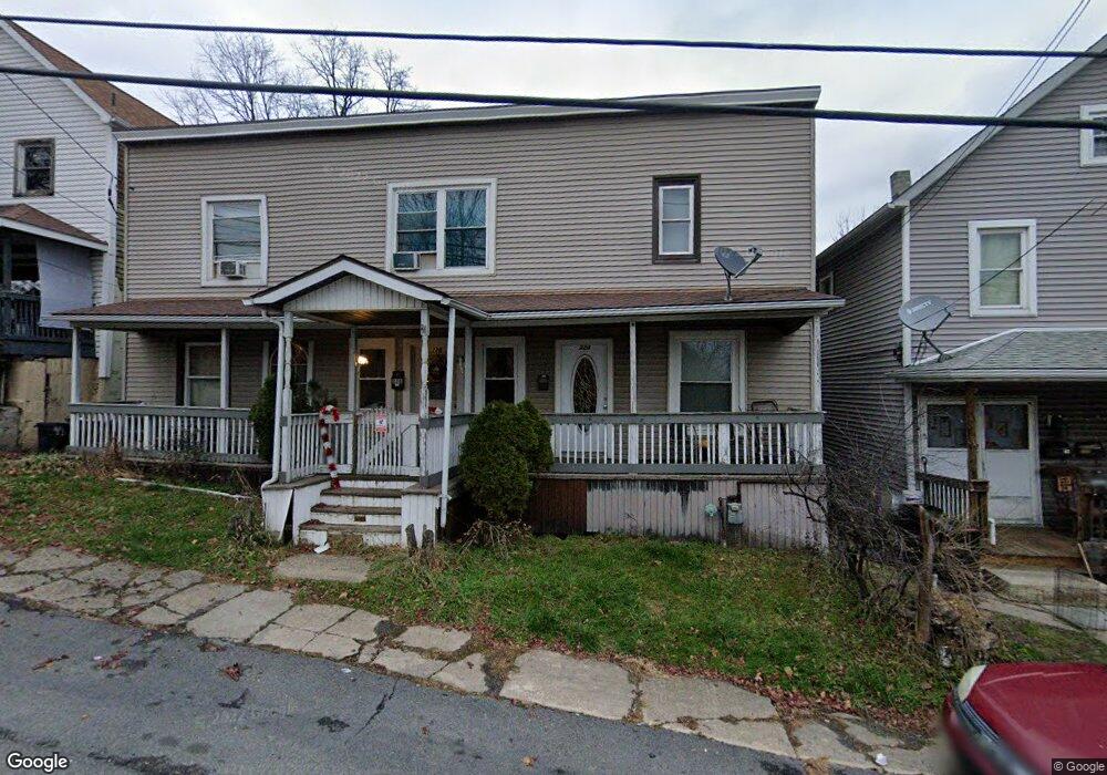
226 Theodore St Unit 228 Scranton, PA 18508
Tripp's Park NeighborhoodEstimated Value: $187,000 - $224,000
Studio
--
Bath
--
Sq Ft
5,750
Sq Ft Lot
About This Home
This home is located at 226 Theodore St Unit 228, Scranton, PA 18508 and is currently estimated at $205,333. 226 Theodore St Unit 228 is a home located in Lackawanna County with nearby schools including Neil Armstrong Elementary School, Northeast Scranton Intermediate School, and Scranton High School.
Ownership History
Date
Name
Owned For
Owner Type
Purchase Details
Closed on
May 22, 2024
Sold by
Mortgage Network Inc
Bought by
Kkb Properties Llc
Current Estimated Value
Home Financials for this Owner
Home Financials are based on the most recent Mortgage that was taken out on this home.
Original Mortgage
$140,000
Outstanding Balance
$138,118
Interest Rate
7.1%
Mortgage Type
New Conventional
Estimated Equity
$67,215
Purchase Details
Closed on
Oct 30, 2013
Sold by
Hoover Lisa M
Bought by
Mortgage Network Inc
Create a Home Valuation Report for This Property
The Home Valuation Report is an in-depth analysis detailing your home's value as well as a comparison with similar homes in the area
Home Values in the Area
Average Home Value in this Area
Purchase History
| Date | Buyer | Sale Price | Title Company |
|---|---|---|---|
| Kkb Properties Llc | $175,000 | None Listed On Document | |
| Mortgage Network Inc | $45,000 | None Available |
Source: Public Records
Mortgage History
| Date | Status | Borrower | Loan Amount |
|---|---|---|---|
| Open | Kkb Properties Llc | $140,000 |
Source: Public Records
Tax History
| Year | Tax Paid | Tax Assessment Tax Assessment Total Assessment is a certain percentage of the fair market value that is determined by local assessors to be the total taxable value of land and additions on the property. | Land | Improvement |
|---|---|---|---|---|
| 2025 | $2,928 | $9,000 | $1,600 | $7,400 |
| 2024 | $2,678 | $9,000 | $1,600 | $7,400 |
| 2023 | $2,678 | $9,000 | $1,600 | $7,400 |
| 2022 | $2,620 | $9,000 | $1,600 | $7,400 |
| 2021 | $2,620 | $9,000 | $1,600 | $7,400 |
| 2020 | $2,571 | $9,000 | $1,600 | $7,400 |
| 2019 | $2,419 | $9,000 | $1,600 | $7,400 |
| 2018 | $2,419 | $9,000 | $1,600 | $7,400 |
| 2017 | $2,377 | $9,000 | $1,600 | $7,400 |
| 2016 | $0 | $9,000 | $1,600 | $7,400 |
| 2015 | $1,790 | $9,000 | $1,600 | $7,400 |
| 2014 | -- | $9,000 | $1,600 | $7,400 |
Source: Public Records
Map
Nearby Homes
- 309 Ferdinand St
- 1436 Church Ave
- 1402 N Rebecca Ave
- 1425 N Rebecca Ave
- 1720 Mcdonough Ave
- 214 William St
- 463 Oak St
- 2009-2011 Margaret Ave
- 1819 Clearview St Unit L 109
- 510 Oak St
- 418 Leggett St
- 1513 Meylert Ave
- 805 Ferdinand St
- 2105 Belmont Terrace
- 2089 N Main Ave
- 817 Court St
- 116 Little Spike Way Unit L 40
- 1519 1521 von Storch Ave
- 612 Court St
- 535 Green Ridge St
- 228 Theodore St
- 222 Theodore St
- 232 Theodore St
- 220 Theodore St
- 234 Theodore St
- 218 Theodore St
- 236 Theodore St Unit L15
- 216 Theodore St
- 216 Theodore St Unit Floors 2/3
- 216 Theodore St Unit Floor 1
- 219 Ferdinand St
- 229 Ferdinand St
- 214 Theodore St
- 221 Ferdinand St
- 238 Theodore St
- 217 Ferdinand St
- 237 Ferdinand St
- 215 Ferdinand St
- 210 Theodore St
- 240 Theodore St
Your Personal Tour Guide
Ask me questions while you tour the home.