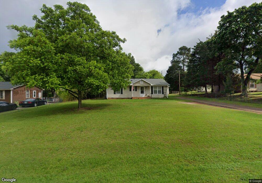
226 Thompson Rd Chesnee, SC 29323
Estimated Value: $176,000 - $188,000
3
Beds
2
Baths
1,189
Sq Ft
$153/Sq Ft
Est. Value
About This Home
This home is located at 226 Thompson Rd, Chesnee, SC 29323 and is currently estimated at $182,105, approximately $153 per square foot. 226 Thompson Rd is a home located in Spartanburg County with nearby schools including Chesnee Elementary School, Chesnee Middle School, and Chesnee High School.
Ownership History
Date
Name
Owned For
Owner Type
Purchase Details
Closed on
Nov 25, 2008
Sold by
Charles Randy F
Bought by
Dumas Michael
Current Estimated Value
Purchase Details
Closed on
Oct 23, 2008
Sold by
Fannie Mae
Bought by
Charles Randy F
Purchase Details
Closed on
Jul 21, 2008
Sold by
Padgett Tricia M and Barnett Joshua P
Bought by
Federal National Mortgage Association
Purchase Details
Closed on
Jun 23, 2004
Sold by
Crosby Sharleen C
Bought by
Padgett Tricia M and Barnett Joshua P
Create a Home Valuation Report for This Property
The Home Valuation Report is an in-depth analysis detailing your home's value as well as a comparison with similar homes in the area
Home Values in the Area
Average Home Value in this Area
Purchase History
| Date | Buyer | Sale Price | Title Company |
|---|---|---|---|
| Dumas Michael | $69,000 | -- | |
| Charles Randy F | -- | -- | |
| Federal National Mortgage Association | $2,500 | -- | |
| Padgett Tricia M | $57,500 | Hanover Title Agency |
Source: Public Records
Mortgage History
| Date | Status | Borrower | Loan Amount |
|---|---|---|---|
| Closed | Dumas Michael | $0 |
Source: Public Records
Tax History
| Year | Tax Paid | Tax Assessment Tax Assessment Total Assessment is a certain percentage of the fair market value that is determined by local assessors to be the total taxable value of land and additions on the property. | Land | Improvement |
|---|---|---|---|---|
| 2022 | $1,681 | $4,485 | $716 | $3,769 |
| 2021 | $1,681 | $4,485 | $716 | $3,769 |
| 2020 | $1,665 | $4,485 | $716 | $3,769 |
| 2019 | $520 | $2,990 | $477 | $2,513 |
| 2018 | $508 | $2,990 | $477 | $2,513 |
| 2017 | $450 | $2,600 | $480 | $2,120 |
| 2016 | $450 | $2,600 | $480 | $2,120 |
| 2015 | $445 | $2,600 | $480 | $2,120 |
| 2014 | $1,408 | $3,900 | $720 | $3,180 |
Source: Public Records
Map
Nearby Homes
- 302 Thompson Rd
- 304 Scenic View Dr
- 201 Lee Dr
- 132 Whispering Hills Ln
- 5565 Henderson Hill Rd
- 240 Overhead Bridge Rd
- 480 Green Lake Rd
- 2063 Maggie Acres Rd
- 3002 Margaret Ct
- 309 Green Valley Dr
- 700 Red Line Ave
- 1736 Ezell Rd
- 616 Mcarthur St
- 1264 Piedmont Rd
- 312 E Union St
- 308 Lexington St
- 306 Lexington St
- 313 S Lee St
- 00 Woods Farm Rd
- 309 S Lee St
- 222 Thompson Rd
- 230 Thompson Rd
- 119 Colonial Dr
- 218 Thompson Rd
- 111 Colonial Dr
- 214 Thompson Rd
- 217 Thompson Rd
- 107 Colonial Dr
- 118 Colonial Dr
- 122 Colonial Dr
- 126 Colonial Dr
- 114 Colonial Dr
- 213 Thompson Rd
- 133 Colonial Dr
- 110 Colonial Dr
- 121 Blanton Ave
- 206 Thompson Rd
- 134 Colonial Dr
- 106 Colonial Dr
- 313 Thompson Rd
Your Personal Tour Guide
Ask me questions while you tour the home.