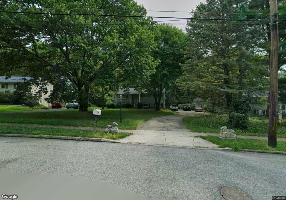
226 Tomstock Rd Norristown, PA 19403
Estimated Value: $469,000 - $504,000
3
Beds
3
Baths
1,604
Sq Ft
$302/Sq Ft
Est. Value
About This Home
This home is located at 226 Tomstock Rd, Norristown, PA 19403 and is currently estimated at $483,993, approximately $301 per square foot. 226 Tomstock Rd is a home located in Montgomery County with nearby schools including Woodland Elementary School, Skyview Upper Elementary School, and Arcola Intermediate School.
Ownership History
Date
Name
Owned For
Owner Type
Purchase Details
Closed on
Feb 23, 1984
Bought by
Higgins Donald C and Higgins Catherine T
Current Estimated Value
Create a Home Valuation Report for This Property
The Home Valuation Report is an in-depth analysis detailing your home's value as well as a comparison with similar homes in the area
Home Values in the Area
Average Home Value in this Area
Purchase History
| Date | Buyer | Sale Price | Title Company |
|---|---|---|---|
| Higgins Donald C | $78,400 | -- |
Source: Public Records
Tax History Compared to Growth
Tax History
| Year | Tax Paid | Tax Assessment Tax Assessment Total Assessment is a certain percentage of the fair market value that is determined by local assessors to be the total taxable value of land and additions on the property. | Land | Improvement |
|---|---|---|---|---|
| 2025 | $5,572 | $136,620 | $57,340 | $79,280 |
| 2024 | $5,572 | $136,620 | $57,340 | $79,280 |
| 2023 | $5,360 | $136,620 | $57,340 | $79,280 |
| 2022 | $5,214 | $136,620 | $57,340 | $79,280 |
| 2021 | $5,080 | $136,620 | $57,340 | $79,280 |
| 2020 | $4,961 | $136,620 | $57,340 | $79,280 |
| 2019 | $4,915 | $136,620 | $57,340 | $79,280 |
| 2018 | $4,915 | $136,620 | $57,340 | $79,280 |
| 2017 | $4,694 | $136,620 | $57,340 | $79,280 |
| 2016 | $4,640 | $136,620 | $57,340 | $79,280 |
| 2015 | $4,460 | $136,620 | $57,340 | $79,280 |
| 2014 | $4,460 | $136,620 | $57,340 | $79,280 |
Source: Public Records
Map
Nearby Homes
- 2044 Mill Rd
- 24 Wayne Ave
- 115 Sunnyside Ave
- 636 Hillside Ave
- 44 N Barry Ave
- 109 N Park Ave
- 0 Roosevelt Blvd
- 32 Miami Rd
- 37 Burnside Ave
- 136 Markley Farm Cir
- 3026 Highley Rd
- 2008 Hemlock Rd
- 617 Meadowlark Rd
- 4021 Killington Ct
- 300 Norris Hall Ln Unit 300
- 253 Stone Ridge Dr Unit 253
- 2055 W Marshall St
- 706 Kennedy Ct Unit 706
- 1070 Bayless Place Unit F3
- 404 Truman Ct
- 222 Tomstock Rd
- 230 Tomstock Rd
- 218 Tomstock Rd
- 234 Tomstock Rd
- 233 Tomstock Rd
- 225 Tomstock Rd
- 217 Clearfield Ave
- 219 Clearfield Ave
- 237 Tomstock Rd
- 215 Clearfield Ave
- 229 Clearfield Ave
- 213 Clearfield Ave
- 120 Belmont Ave
- 221 Clearfield Ave
- 108 Belmont Ave
- 124 Belmont Ave
- 130 Tomstock Cir
- 116 Belmont Ave
- 124 Tomstock Cir
- 242 Tomstock Rd