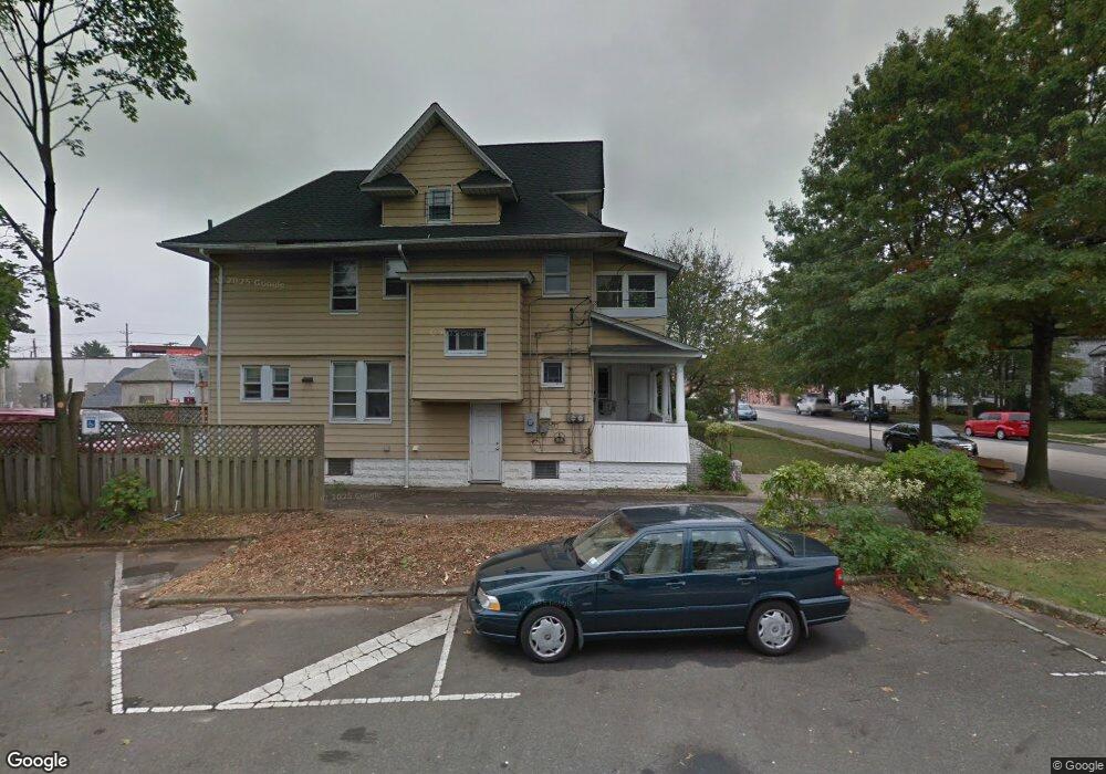
226 Vincent Ave Lynbrook, NY 11563
Estimated Value: $856,101 - $871,000
3
Beds
1
Bath
2,215
Sq Ft
$390/Sq Ft
Est. Value
About This Home
This home is located at 226 Vincent Ave, Lynbrook, NY 11563 and is currently estimated at $863,551, approximately $389 per square foot. 226 Vincent Ave is a home located in Nassau County with nearby schools including Lynbrook Senior High School and Our Lady Of Peace School.
Ownership History
Date
Name
Owned For
Owner Type
Purchase Details
Closed on
Sep 25, 2012
Sold by
Marton Istvan
Bought by
Pavano Pino
Current Estimated Value
Home Financials for this Owner
Home Financials are based on the most recent Mortgage that was taken out on this home.
Original Mortgage
$262,500
Outstanding Balance
$183,052
Interest Rate
3.66%
Estimated Equity
$680,499
Purchase Details
Closed on
Dec 17, 2003
Sold by
Henson Colleen
Bought by
Colonna Steven
Purchase Details
Closed on
Aug 7, 1996
Sold by
Henson Colleen and Trenchard Craig
Bought by
Henson Colleen and Trenchard Craig
Create a Home Valuation Report for This Property
The Home Valuation Report is an in-depth analysis detailing your home's value as well as a comparison with similar homes in the area
Home Values in the Area
Average Home Value in this Area
Purchase History
| Date | Buyer | Sale Price | Title Company |
|---|---|---|---|
| Pavano Pino | $350,000 | -- | |
| Colonna Steven | $390,000 | -- | |
| Henson Colleen | $30,000 | -- |
Source: Public Records
Mortgage History
| Date | Status | Borrower | Loan Amount |
|---|---|---|---|
| Open | Pavano Pino | $262,500 |
Source: Public Records
Tax History
| Year | Tax Paid | Tax Assessment Tax Assessment Total Assessment is a certain percentage of the fair market value that is determined by local assessors to be the total taxable value of land and additions on the property. | Land | Improvement |
|---|---|---|---|---|
| 2025 | $12,828 | $556 | $243 | $313 |
| 2024 | $1,195 | $562 | $245 | $317 |
| 2023 | $11,865 | $573 | $250 | $323 |
| 2022 | $11,865 | $573 | $250 | $323 |
| 2021 | $16,553 | $568 | $248 | $320 |
| 2020 | $10,907 | $630 | $536 | $94 |
| 2019 | $9,749 | $630 | $536 | $94 |
| 2018 | $9,029 | $630 | $0 | $0 |
| 2017 | $7,075 | $630 | $416 | $214 |
| 2016 | $7,986 | $630 | $350 | $280 |
| 2015 | $1,206 | $812 | $451 | $361 |
| 2014 | $1,206 | $812 | $451 | $361 |
| 2013 | $1,316 | $966 | $536 | $430 |
Source: Public Records
Map
Nearby Homes
- 45 Lynbrook Ave
- 266 Earle Ave
- 60 Hempstead Ave Unit 1O
- 60 Hempstead Ave Unit 1K
- 60 Hempstead Ave Unit 1J
- 21 Washington Ave
- 40 Daley Place Unit 124
- 40 Daley Place Unit 227
- 75 Noble St Unit 121
- 58 Chestnut St
- 157 Hempstead Ave Unit B20
- 20 Daley Place Unit 128
- 30 Daley Place Unit 136
- 30 Daley Place Unit 247
- 20 Daley Place Unit 225
- 20 Daley Place Unit 113
- 30 Daley Place Unit 146
- 367 Vincent Ave
- 175 Hempstead Ave
- 160 Rocklyn Ave
- 222 Vincent Ave
- 218 Vincent Ave
- 221 Denton Ave
- 215 Denton Ave
- 223 Vincent Ave
- 219 Vincent Ave
- 215 Vincent Ave
- 246 Vincent Ave
- 211 Vincent Ave
- 241 Denton Ave
- 237 Vincent Ave
- 250 Vincent Ave
- 220 Denton Ave
- 222 Denton Ave
- 241 Vincent Ave
- 254 Vincent Ave
- 228 Earle Ave
- 253 Vincent Ave
- 224 Merrick Rd
- 224 Earle Ave
Your Personal Tour Guide
Ask me questions while you tour the home.