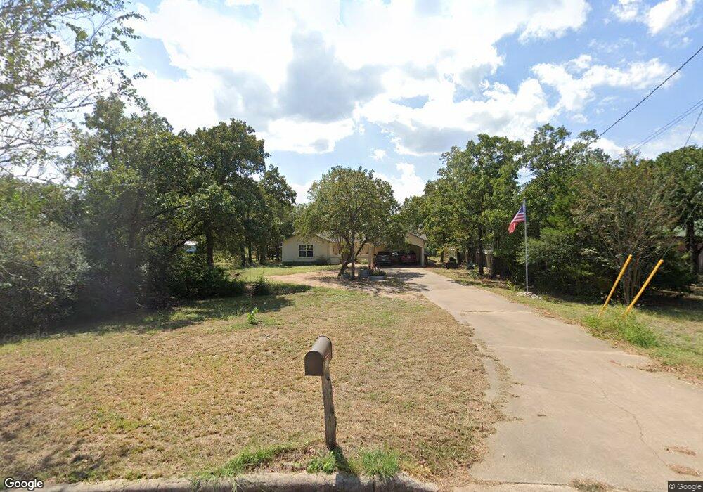
226 W Oak Loop Cedar Creek, TX 78612
Estimated Value: $409,000 - $480,000
3
Beds
2
Baths
2,370
Sq Ft
$188/Sq Ft
Est. Value
About This Home
This home is located at 226 W Oak Loop, Cedar Creek, TX 78612 and is currently estimated at $444,456, approximately $187 per square foot. 226 W Oak Loop is a home located in Bastrop County with nearby schools including Bluebonnet Elementary School, Cedar Creek Middle School, and Cedar Creek Intermediate School.
Ownership History
Date
Name
Owned For
Owner Type
Purchase Details
Closed on
Sep 9, 2011
Sold by
Airaudi Michael P and Airaudi Kathleen A
Bought by
Wier Debra J and Wier Stephen H
Current Estimated Value
Home Financials for this Owner
Home Financials are based on the most recent Mortgage that was taken out on this home.
Original Mortgage
$177,000
Outstanding Balance
$121,151
Interest Rate
4.25%
Mortgage Type
FHA
Estimated Equity
$323,305
Purchase Details
Closed on
Jul 24, 2007
Sold by
Harris Michael D and Airaudi 22 Family Trust
Bought by
Airaudi Michael P and Airaudi Kathleen A
Purchase Details
Closed on
Sep 26, 2006
Sold by
Airaudi Michael P and Airaudi Kathleen A
Bought by
Airaudi 22 Family Trust
Purchase Details
Closed on
Jul 9, 2006
Sold by
Wells Fargo Bank
Bought by
Harris Michael D and Airaudi 22 Family Trust
Create a Home Valuation Report for This Property
The Home Valuation Report is an in-depth analysis detailing your home's value as well as a comparison with similar homes in the area
Home Values in the Area
Average Home Value in this Area
Purchase History
| Date | Buyer | Sale Price | Title Company |
|---|---|---|---|
| Wier Debra J | $177,000 | Alamo Title Company | |
| Airaudi Michael P | -- | None Available | |
| Airaudi 22 Family Trust | -- | None Available | |
| Harris Michael D | -- | None Available |
Source: Public Records
Mortgage History
| Date | Status | Borrower | Loan Amount |
|---|---|---|---|
| Open | Wier Debra J | $177,000 |
Source: Public Records
Tax History Compared to Growth
Tax History
| Year | Tax Paid | Tax Assessment Tax Assessment Total Assessment is a certain percentage of the fair market value that is determined by local assessors to be the total taxable value of land and additions on the property. | Land | Improvement |
|---|---|---|---|---|
| 2025 | $1,142 | $400,512 | $160,000 | $240,512 |
| 2023 | $1,142 | $331,672 | $0 | $0 |
| 2022 | $2,841 | $301,520 | $0 | $0 |
| 2021 | $5,156 | $289,353 | $75,000 | $214,353 |
| 2020 | $4,837 | $282,122 | $51,998 | $230,124 |
| 2019 | $4,578 | $226,536 | $35,000 | $191,536 |
| 2018 | $4,702 | $231,528 | $35,000 | $196,528 |
| 2017 | $4,695 | $219,486 | $38,500 | $180,986 |
| 2016 | $4,434 | $207,314 | $35,000 | $186,502 |
| 2015 | $2,985 | $188,467 | $35,000 | $153,467 |
| 2014 | $2,985 | $184,351 | $35,000 | $149,351 |
Source: Public Records
Map
Nearby Homes
- 258 W Oak Loop
- 279 Pope Bend S
- 441 Double Eagle Ranch Dr
- 320 Pope Bend S
- 356 Cedar Ln
- 112 Grey Eagle Cove
- 681 Leisure Ln
- 298 Jenkins Rd
- TBD Della Ln
- 160 N Side Ln
- 375 McDonald Ln W
- 172 Hershal Ln
- 000 McDonald Ln W
- 175 Fawn Ridge Rd
- 222 Pope Bend N
- 174 Hershal Ln
- tbd Fawn Ridge Rd
- 221 Fawn Ridge Rd
- 010 Fawn Ridge Rd
- 000 Fawn Ridge Rd