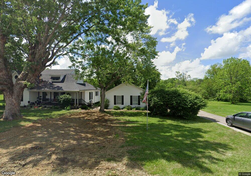
226 West St Brodhead, KY 40409
Estimated Value: $712,876
--
Bed
--
Bath
10,000
Sq Ft
$71/Sq Ft
Est. Value
About This Home
This home is located at 226 West St, Brodhead, KY 40409 and is currently estimated at $712,876, approximately $71 per square foot. 226 West St is a home located in Rockcastle County with nearby schools including Rockcastle County High School.
Ownership History
Date
Name
Owned For
Owner Type
Purchase Details
Closed on
Aug 16, 2023
Sold by
Rockcastle Circuit Court
Bought by
Purchase Area Lien Holdings Llc and Hope
Current Estimated Value
Purchase Details
Closed on
Jan 24, 2023
Sold by
Reams Jody
Bought by
Clark Raymond and Clark Jody Ann
Purchase Details
Closed on
Jan 23, 2023
Sold by
Pphilbeck Robert Eugene and Pphilbeck Rosalind Baker
Bought by
Carpenter Johnny W and Carpenter Gladys W
Purchase Details
Closed on
Aug 17, 2022
Sold by
County Circuit Court
Bought by
Rtlf Ky Llc
Purchase Details
Closed on
Sep 21, 2009
Sold by
Hopkins Mark A and Hopkins Susan M
Bought by
Akins Mark and Akins Vivian Hope
Create a Home Valuation Report for This Property
The Home Valuation Report is an in-depth analysis detailing your home's value as well as a comparison with similar homes in the area
Home Values in the Area
Average Home Value in this Area
Purchase History
| Date | Buyer | Sale Price | Title Company |
|---|---|---|---|
| Purchase Area Lien Holdings Llc | $1,793 | None Listed On Document | |
| Clark Raymond | -- | -- | |
| Clark Raymond | -- | None Listed On Document | |
| Carpenter Johnny W | $4,000 | -- | |
| Rtlf Ky Llc | $2,434 | None Listed On Document | |
| Akins Mark | $325,000 | None Available |
Source: Public Records
Tax History Compared to Growth
Tax History
| Year | Tax Paid | Tax Assessment Tax Assessment Total Assessment is a certain percentage of the fair market value that is determined by local assessors to be the total taxable value of land and additions on the property. | Land | Improvement |
|---|---|---|---|---|
| 2024 | $1,638 | $200,000 | $0 | $0 |
| 2023 | $1,449 | $175,000 | $0 | $0 |
| 2022 | $1,437 | $175,000 | $0 | $0 |
| 2021 | $1,447 | $175,000 | $0 | $0 |
| 2020 | $1,446 | $175,000 | $0 | $0 |
| 2019 | $1,437 | $175,000 | $0 | $0 |
| 2018 | $1,228 | $150,000 | $0 | $0 |
| 2017 | $1,221 | $150,000 | $0 | $0 |
| 2016 | $1,194 | $150,000 | $0 | $0 |
| 2015 | -- | $150,000 | $0 | $0 |
| 2010 | -- | $150,000 | $0 | $0 |
Source: Public Records
Map
Nearby Homes
- 15 Lane St
- 152 Pike St
- 152 Tyree St
- 213 Bluebird Ln
- 14 Willow Ave
- 1924 Kentucky 3245
- 5256 Hwy 1326
- 336 Union Chapel Rd
- 91 Barnett Rd
- 2870 Chestnut Grove Rd
- 9550 Dysart Way
- 2751 Brindle Ridge Rd
- 838 Menifee Hill Rd
- 54 Thraser Ln
- 1305 Maretburg Cemetery Rd
- 1875 Highway 1326
- 261 Arvil Ln
- 207 Maretburg Rd
- 49 Solar Dr
- 44 Solar Dr