Estimated Value: $377,000 - $476,929
--
Bed
--
Bath
2,128
Sq Ft
$193/Sq Ft
Est. Value
About This Home
This home is located at 2260 Capps Rd, York, SC 29745 and is currently estimated at $410,982, approximately $193 per square foot. 2260 Capps Rd is a home located in York County with nearby schools including Griggs Road Elementary School, Clover Middle School, and Clover High School.
Ownership History
Date
Name
Owned For
Owner Type
Purchase Details
Closed on
Apr 17, 2017
Bought by
Gardner Sandra K
Current Estimated Value
Home Financials for this Owner
Home Financials are based on the most recent Mortgage that was taken out on this home.
Original Mortgage
$90,000
Outstanding Balance
$74,626
Interest Rate
4.08%
Estimated Equity
$336,356
Purchase Details
Closed on
Aug 17, 2009
Sold by
Moore Euldean S
Bought by
Winchester Charles E
Purchase Details
Closed on
Jul 28, 1999
Sold by
Breggar Gerald L
Bought by
Winchester Charles E
Create a Home Valuation Report for This Property
The Home Valuation Report is an in-depth analysis detailing your home's value as well as a comparison with similar homes in the area
Home Values in the Area
Average Home Value in this Area
Purchase History
| Date | Buyer | Sale Price | Title Company |
|---|---|---|---|
| Gardner Sandra K | -- | -- | |
| Winchester Charles E | -- | -- | |
| Winchester Charles E | $65,000 | -- |
Source: Public Records
Mortgage History
| Date | Status | Borrower | Loan Amount |
|---|---|---|---|
| Open | Gardner Sandra K | $90,000 | |
| Closed | Gardner Sandra K | -- |
Source: Public Records
Tax History Compared to Growth
Tax History
| Year | Tax Paid | Tax Assessment Tax Assessment Total Assessment is a certain percentage of the fair market value that is determined by local assessors to be the total taxable value of land and additions on the property. | Land | Improvement |
|---|---|---|---|---|
| 2024 | $1,010 | $4,828 | $3,476 | $1,352 |
| 2023 | $1,029 | $4,851 | $3,670 | $1,181 |
| 2022 | $886 | $4,851 | $3,670 | $1,181 |
| 2021 | -- | $4,907 | $3,763 | $1,144 |
| 2020 | $892 | $4,907 | $0 | $0 |
| 2019 | $473 | $3,832 | $0 | $0 |
| 2018 | $476 | $3,832 | $0 | $0 |
| 2017 | $443 | $3,832 | $0 | $0 |
| 2016 | $417 | $3,832 | $0 | $0 |
| 2014 | $457 | $3,832 | $2,232 | $1,600 |
| 2013 | $457 | $4,008 | $2,228 | $1,780 |
Source: Public Records
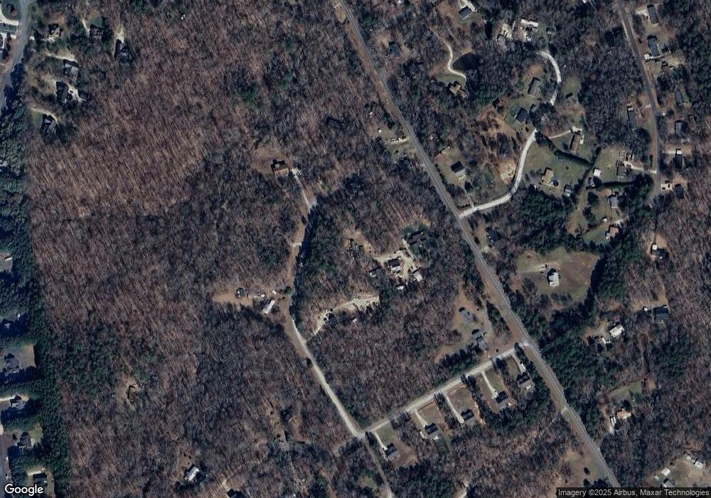
Map
Nearby Homes
- 237 Creekstone Ln
- 726 Sunnywood Rd
- 1622 Hunters Place Rd
- 500 Pearl Place Ln
- 2150 Kingsburry Rd
- 2247 Kingsburry Rd
- 1821 Sherrer Rd
- 2055 Sunswept Ln
- 722 Clegg Farm Dr
- 812 Timber Creek Dr
- 812 Acclaim Dr
- 1045 Adkins Rd
- 7035 Twin Streams Ln
- 252 Miramar Dr
- 256 Miramar Dr
- 248 Miramar Dr
- 260 Miramar Dr
- Lawson Plan at Westport
- Edisto Plan at Westport
- Trent Plan at Westport
- 2270 Capps Rd
- 2273 Capps Rd
- 2267 Capps Rd
- 2242 Capps Rd
- 2005 Paraham Rd S
- 2239 Capps Rd
- 0 Old Leon Adams Rd
- 0 Old Leon Adams Rd Unit P1086165
- 2010 Paraham Rd S
- 2278 Capps Rd
- 1939 Paraham Rd S
- 1930 S Paraham Rd
- 1930 S Paraham Rd
- 1931 Paraham Rd S
- 3107 York Farms Rd
- 110 Creekstone Ln
- 2034 Paraham Rd S
- 3154 York Farms Rd
- 2046 Paraham Rd S
- 3166 York Farms Rd