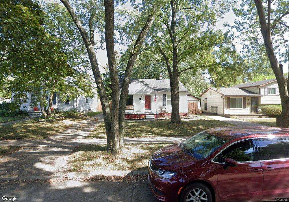
2260 Royal Ave Berkley, MI 48072
Estimated Value: $284,103 - $371,000
2
Beds
1
Bath
1,125
Sq Ft
$280/Sq Ft
Est. Value
About This Home
This home is located at 2260 Royal Ave, Berkley, MI 48072 and is currently estimated at $315,526, approximately $280 per square foot. 2260 Royal Ave is a home located in Oakland County with nearby schools including Angell Elementary School, Anderson Middle School, and Berkley High School.
Ownership History
Date
Name
Owned For
Owner Type
Purchase Details
Closed on
Jan 20, 2000
Sold by
Fabio Brian D
Bought by
Morgan Joel S
Current Estimated Value
Home Financials for this Owner
Home Financials are based on the most recent Mortgage that was taken out on this home.
Original Mortgage
$127,141
Outstanding Balance
$39,122
Interest Rate
8.08%
Estimated Equity
$276,404
Purchase Details
Closed on
Nov 4, 1998
Sold by
Sloan George R
Bought by
Fabio Brian D
Create a Home Valuation Report for This Property
The Home Valuation Report is an in-depth analysis detailing your home's value as well as a comparison with similar homes in the area
Home Values in the Area
Average Home Value in this Area
Purchase History
| Date | Buyer | Sale Price | Title Company |
|---|---|---|---|
| Morgan Joel S | $134,900 | -- | |
| Fabio Brian D | $124,900 | -- |
Source: Public Records
Mortgage History
| Date | Status | Borrower | Loan Amount |
|---|---|---|---|
| Open | Morgan Joel S | $127,141 |
Source: Public Records
Tax History
| Year | Tax Paid | Tax Assessment Tax Assessment Total Assessment is a certain percentage of the fair market value that is determined by local assessors to be the total taxable value of land and additions on the property. | Land | Improvement |
|---|---|---|---|---|
| 2025 | $3,100 | $141,150 | $0 | $0 |
| 2024 | $2,941 | $132,710 | $0 | $0 |
| 2023 | $2,650 | $121,530 | $0 | $0 |
| 2022 | $2,648 | $111,720 | $0 | $0 |
| 2021 | $2,590 | $106,350 | $0 | $0 |
| 2020 | $2,477 | $101,910 | $0 | $0 |
| 2019 | $2,601 | $96,190 | $0 | $0 |
| 2018 | $2,487 | $87,370 | $0 | $0 |
| 2017 | $2,456 | $83,800 | $0 | $0 |
| 2016 | $2,479 | $78,890 | $0 | $0 |
| 2015 | -- | $72,360 | $0 | $0 |
| 2014 | -- | $65,360 | $0 | $0 |
| 2011 | -- | $61,260 | $0 | $0 |
Source: Public Records
Map
Nearby Homes
- 2654 Royal Ave
- 1799 Phillips Ave
- 2266 Robina Ave
- 1888 Griffith Ave
- 2076 Thomas Ave
- 3050 Catalpa Dr
- 2893 Harvard Rd
- 14611 Kingston St
- 1975 Kipling Ave
- 2863 Columbia Rd
- 2795 Robina Ave
- 2679 Oxford Rd
- 14421 Labelle St
- 2828 Robina Ave
- 2941 Robina Ave
- 14670 Talbot St
- 2813 Kipling Ave
- 14710 Loretta Place
- 2435 Sunnyknoll Ave
- 3170 Tyler Ave
- 2280 Royal Ave
- 2246 Royal Ave
- 2220 Royal Ave
- 2259 Buckingham Ave
- 2269 Buckingham Ave
- 2312 Royal Ave
- 2192 Royal Ave
- 2239 Buckingham Ave
- 2219 Buckingham Ave
- 2259 Royal Ave
- 2239 Royal Ave
- 2279 Royal Ave
- 2176 Royal Ave
- 2311 Buckingham Ave
- 2328 Royal Ave
- 2191 Buckingham Ave
- 2219 Royal Ave
- 2191 Royal Ave
- 2327 Buckingham Ave
- 2311 Royal Ave
Your Personal Tour Guide
Ask me questions while you tour the home.