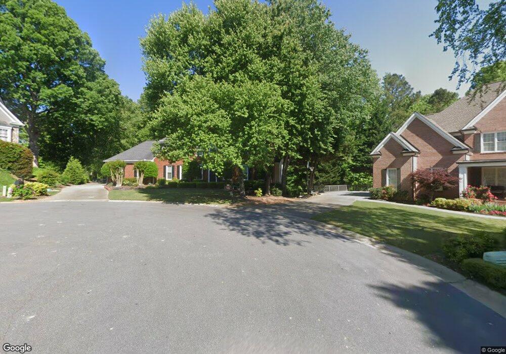
2260 Stonegate Dr Unit 1 Cumming, GA 30041
Big Creek NeighborhoodEstimated Value: $754,598 - $852,000
4
Beds
5
Baths
2,794
Sq Ft
$286/Sq Ft
Est. Value
About This Home
This home is located at 2260 Stonegate Dr Unit 1, Cumming, GA 30041 and is currently estimated at $798,650, approximately $285 per square foot. 2260 Stonegate Dr Unit 1 is a home located in Forsyth County with nearby schools including Big Creek Elementary School, South Forsyth Middle School, and South Forsyth High School.
Ownership History
Date
Name
Owned For
Owner Type
Purchase Details
Closed on
May 22, 2006
Sold by
Wallace Walter L
Bought by
Hughey Philip J and Hughey Elizabeth L
Current Estimated Value
Home Financials for this Owner
Home Financials are based on the most recent Mortgage that was taken out on this home.
Original Mortgage
$160,000
Outstanding Balance
$9,322
Interest Rate
6.51%
Mortgage Type
New Conventional
Estimated Equity
$789,328
Purchase Details
Closed on
Aug 28, 2003
Sold by
Wehrman Ronald C and Wehrman Henrietta E
Bought by
Wallace Walter L
Home Financials for this Owner
Home Financials are based on the most recent Mortgage that was taken out on this home.
Original Mortgage
$280,000
Interest Rate
6.13%
Mortgage Type
Stand Alone Second
Purchase Details
Closed on
Dec 27, 1996
Sold by
Equus Prop Inc
Bought by
Wehrman Ronald Henrietta
Create a Home Valuation Report for This Property
The Home Valuation Report is an in-depth analysis detailing your home's value as well as a comparison with similar homes in the area
Home Values in the Area
Average Home Value in this Area
Purchase History
| Date | Buyer | Sale Price | Title Company |
|---|---|---|---|
| Hughey Philip J | $388,000 | -- | |
| Wallace Walter L | $350,000 | -- | |
| Wehrman Ronald Henrietta | $274,600 | -- |
Source: Public Records
Mortgage History
| Date | Status | Borrower | Loan Amount |
|---|---|---|---|
| Open | Hughey Philip J | $160,000 | |
| Previous Owner | Wallace Walter L | $280,000 | |
| Previous Owner | Wallace Walter L | $35,000 | |
| Closed | Wehrman Ronald Henrietta | $0 |
Source: Public Records
Tax History Compared to Growth
Tax History
| Year | Tax Paid | Tax Assessment Tax Assessment Total Assessment is a certain percentage of the fair market value that is determined by local assessors to be the total taxable value of land and additions on the property. | Land | Improvement |
|---|---|---|---|---|
| 2025 | $1,107 | $301,992 | $68,000 | $233,992 |
| 2024 | $1,107 | $287,452 | $60,000 | $227,452 |
| 2023 | $1,025 | $278,340 | $60,000 | $218,340 |
| 2022 | $1,124 | $188,464 | $40,000 | $148,464 |
| 2021 | $1,067 | $188,464 | $40,000 | $148,464 |
| 2020 | $1,060 | $180,376 | $40,000 | $140,376 |
| 2019 | $1,066 | $179,368 | $40,000 | $139,368 |
| 2018 | $1,061 | $162,400 | $30,000 | $132,400 |
| 2017 | $1,098 | $176,712 | $28,000 | $148,712 |
| 2016 | $1,065 | $153,512 | $24,000 | $129,512 |
| 2015 | $1,065 | $153,512 | $24,000 | $129,512 |
| 2014 | $993 | $142,388 | $24,000 | $118,388 |
Source: Public Records
Map
Nearby Homes
- 2380 Manor Creek Ct
- 2530 Gold Creek Ln
- 2690 Portabella Ln
- 2505 Thackery Ct
- 2530 Thackery Ct
- The Oxford Plan at Windsor Bluffs
- The Cambridge Plan at Windsor Bluffs
- The Berkshire Plan at Windsor Bluffs
- 2260 Thames Ct
- 2250 Thames Ct
- 2560 Wentwood Ct
- 2255 Windsor Bluffs Dr
- 2615 Hillandale Cir
- 2560 Hillandale Cir
- 2540 Hillandale Cir
- Davis Plan at Sterling Pointe
- Ward Plan at Sterling Pointe
- Richmond Plan at Sterling Pointe
- Valley Plan at Sterling Pointe
- Waterstone Plan at Sterling Pointe
- 2270 Stonegate Dr Unit 1
- 2265 Stonegate Dr
- 2280 Stonegate Dr Unit 1
- 2280 Stonegate Dr
- 2275 Stonegate Dr Unit 1
- 2210 Hemrick Rd
- 2220 Hemrick Rd
- 2290 Stonegate Dr
- 2230 Hemrick Rd
- 0 Stonevalley Ct Unit 7441029
- 0 Stonevalley Ct Unit 7093388
- 0 Stonevalley Ct
- 2240 Hemrick Rd
- 2190 Hemrick Rd
- 2190 Hemrick Rd Unit Lot 9
- 2315 Stonevalley Ct Unit 68
- 2315 Stonevalley Ct
- 2250 Hemrick Rd
- 2320 Stonegate Dr
- 0 Stonegate Dr Unit 8167706