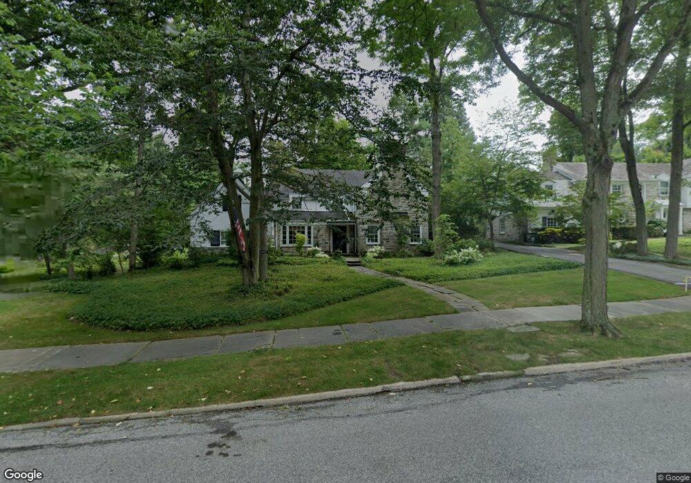
22600 Mccauley Rd Shaker Heights, OH 44122
Estimated Value: $522,000 - $727,000
4
Beds
4
Baths
3,113
Sq Ft
$213/Sq Ft
Est. Value
About This Home
This home is located at 22600 Mccauley Rd, Shaker Heights, OH 44122 and is currently estimated at $662,657, approximately $212 per square foot. 22600 Mccauley Rd is a home located in Cuyahoga County with nearby schools including Mercer Elementary School, Woodbury Elementary School, and Shaker Heights Middle School.
Ownership History
Date
Name
Owned For
Owner Type
Purchase Details
Closed on
Jul 6, 2019
Sold by
Malone Katherine W and James L Malone Trust
Bought by
Malone Katherine W and Katherine W Malone Trust
Current Estimated Value
Purchase Details
Closed on
Jul 2, 1976
Sold by
Hewlett Isabel R
Bought by
Malone James L
Purchase Details
Closed on
Jul 8, 1975
Sold by
Hewlett Jas S and Hewlett Isabel R
Bought by
Hewlett Isabel R
Purchase Details
Closed on
Jan 1, 1975
Bought by
Hewlett Jas S and Hewlett Isabel R
Create a Home Valuation Report for This Property
The Home Valuation Report is an in-depth analysis detailing your home's value as well as a comparison with similar homes in the area
Home Values in the Area
Average Home Value in this Area
Purchase History
| Date | Buyer | Sale Price | Title Company |
|---|---|---|---|
| Malone Katherine W | -- | None Available | |
| Malone James L | $82,500 | -- | |
| Hewlett Isabel R | -- | -- | |
| Hewlett Jas S | -- | -- |
Source: Public Records
Tax History Compared to Growth
Tax History
| Year | Tax Paid | Tax Assessment Tax Assessment Total Assessment is a certain percentage of the fair market value that is determined by local assessors to be the total taxable value of land and additions on the property. | Land | Improvement |
|---|---|---|---|---|
| 2024 | $19,224 | $215,320 | $37,275 | $178,045 |
| 2023 | $17,734 | $157,400 | $32,480 | $124,920 |
| 2022 | $17,233 | $157,400 | $32,480 | $124,920 |
| 2021 | $17,174 | $157,400 | $32,480 | $124,920 |
| 2020 | $17,887 | $154,320 | $31,850 | $122,470 |
| 2019 | $17,626 | $440,900 | $91,000 | $349,900 |
| 2018 | $11,765 | $154,320 | $31,850 | $122,470 |
| 2017 | $18,141 | $150,260 | $29,540 | $120,720 |
| 2016 | $17,418 | $150,260 | $29,540 | $120,720 |
| 2015 | $17,038 | $150,260 | $29,540 | $120,720 |
| 2014 | $17,038 | $141,750 | $27,860 | $113,890 |
Source: Public Records
Map
Nearby Homes
- 2736 Green Rd
- 2680 Wadsworth Rd
- 22099 Shaker Blvd
- 22625 Rye Rd
- 22275 Rye Rd
- 22875 Fairmount Blvd
- 23580 Shaker Blvd
- 12 Lyman Cir
- 16 Lyman Cir
- 2632 S Green Rd
- 22600 Canterbury Ln
- 24039 Shelburne Rd
- 3190 Green Rd
- 2605 Brentwood Rd
- 2684 Sulgrave Rd
- 21120 Sydenham Rd
- 21262 S Woodland Rd
- 20962 Sydenham Rd
- 21261 Almar Dr
- 24255 S Woodland Rd
- 22550 Mccauley Rd
- 2748 Landon Rd
- 2768 V/L Landon Rd
- V/L Landon Rd
- 2730 Landon Rd
- 2735 Landon Rd
- 2750 Landon Rd
- 22500 Mccauley Rd
- 2741 Landon Rd
- 22475 Mccauley Rd
- 2756 Landon Rd
- 2724 Landon Rd
- 2718 Wadsworth Rd
- 22450 Mccauley Rd
- 2721 Wadsworth Rd
- 22565 Shaker Blvd
- 22649 Shaker Blvd
- 22401 Mccauley Rd
- 22525 Shaker Blvd
- 2758 Landon Rd