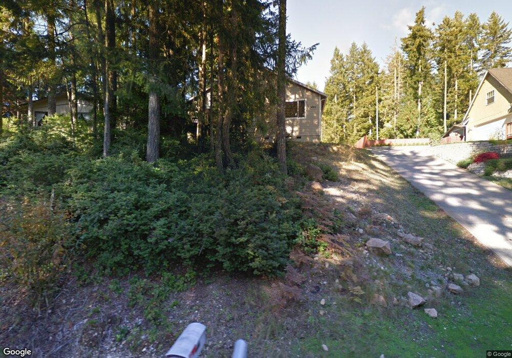
2261 E Saint Andrews Dr N Shelton, WA 98584
Estimated Value: $390,753 - $432,000
3
Beds
2
Baths
1,362
Sq Ft
$307/Sq Ft
Est. Value
About This Home
This home is located at 2261 E Saint Andrews Dr N, Shelton, WA 98584 and is currently estimated at $418,188, approximately $307 per square foot. 2261 E Saint Andrews Dr N is a home located in Mason County with nearby schools including Pioneer Primary School and Pioneer Intermediate/Middle School.
Ownership History
Date
Name
Owned For
Owner Type
Purchase Details
Closed on
Feb 26, 2007
Sold by
Mde Properties Llc
Bought by
Emmick Robert A
Current Estimated Value
Home Financials for this Owner
Home Financials are based on the most recent Mortgage that was taken out on this home.
Original Mortgage
$196,849
Outstanding Balance
$118,823
Interest Rate
6.21%
Mortgage Type
New Conventional
Estimated Equity
$299,365
Purchase Details
Closed on
Aug 31, 2005
Sold by
Shaw Catherine M
Bought by
Mde Properties Llc
Home Financials for this Owner
Home Financials are based on the most recent Mortgage that was taken out on this home.
Original Mortgage
$26,125
Interest Rate
5.7%
Mortgage Type
Purchase Money Mortgage
Purchase Details
Closed on
Mar 4, 2005
Sold by
Mcpherson Gregory
Bought by
Shaw Catherine M
Create a Home Valuation Report for This Property
The Home Valuation Report is an in-depth analysis detailing your home's value as well as a comparison with similar homes in the area
Home Values in the Area
Average Home Value in this Area
Purchase History
| Date | Buyer | Sale Price | Title Company |
|---|---|---|---|
| Emmick Robert A | $196,848 | First American Title | |
| Mde Properties Llc | $52,250 | Mason County Title Ins Co | |
| Shaw Catherine M | $20,000 | First American Title |
Source: Public Records
Mortgage History
| Date | Status | Borrower | Loan Amount |
|---|---|---|---|
| Open | Emmick Robert A | $196,849 | |
| Previous Owner | Mde Properties Llc | $26,125 |
Source: Public Records
Tax History Compared to Growth
Tax History
| Year | Tax Paid | Tax Assessment Tax Assessment Total Assessment is a certain percentage of the fair market value that is determined by local assessors to be the total taxable value of land and additions on the property. | Land | Improvement |
|---|---|---|---|---|
| 2025 | $2,984 | $328,545 | $43,495 | $285,050 |
| 2024 | $2,984 | $374,130 | $38,360 | $335,770 |
| 2023 | $3,354 | $372,880 | $20,495 | $352,385 |
| 2022 | $2,860 | $289,610 | $22,035 | $267,575 |
| 2021 | $2,725 | $289,610 | $22,035 | $267,575 |
| 2020 | $2,378 | $254,240 | $18,365 | $235,875 |
| 2018 | $2,047 | $174,015 | $28,800 | $145,215 |
| 2017 | $1,734 | $174,015 | $28,800 | $145,215 |
| 2016 | $1,737 | $151,535 | $25,200 | $126,335 |
| 2015 | $1,497 | $151,535 | $25,200 | $126,335 |
| 2014 | -- | $144,390 | $24,000 | $120,390 |
| 2013 | -- | $129,500 | $24,000 | $105,500 |
Source: Public Records
Map
Nearby Homes
- 310 E Ballantrae Dr
- 550 E Way To Tipperary St
- 30 E Glenmorgan Ct
- 30 E Ballycastle Way
- 280 E Clonakilty Dr
- 271 E Ballantrae Dr
- 321 E Ballycastle Way
- 151 E Galway Rd
- 1341 E Saint Andrews Dr N
- 110 E Shannon Place
- 120 E Shannon Place
- 201 E Sleaford Rd
- 51 E Glamis Ct
- 0 E Olde Lyme Rd
- 1091 E Saint Andrews Dr
- 40 E Olde Lyme Rd
- 220 E Peebles Ct
- 161 E Connemara Way
- 90 E Blenheim Place
- 0 XXX E Balmoral Way
- 2251 E Saint Andrews Dr N
- 2281 E Saint Andrews Dr N
- 2281 E St Andrews Dr N
- 2241 E Saint Andrews Dr N
- 2291 E Saint Andrews Dr N
- 2311 E St Andrews Drive Dr E
- 2221 E St Andrews Dr
- 2221 E Saint Andrews Dr N
- 2280 E Saint Andrews Dr N
- 2260 E Saint Andrews Dr N
- 2290 E Saint Andrews Dr N
- 2250 E Saint Andrews Dr N
- 2331 E Saint Andrews Dr N
- 2240 E Saint Andrews Dr N
- 2310 E Saint Andrews Dr N
- 2220 E St Andrews
- 2220 E Saint Andrews Dr N
- 2341 E Saint Andrews Dr N
- 2330 E Saint Andrews Dr N
- 2191 E Saint Andrews Dr N