Estimated Value: $293,757 - $466,000
Studio
1
Bath
2,527
Sq Ft
$137/Sq Ft
Est. Value
About This Home
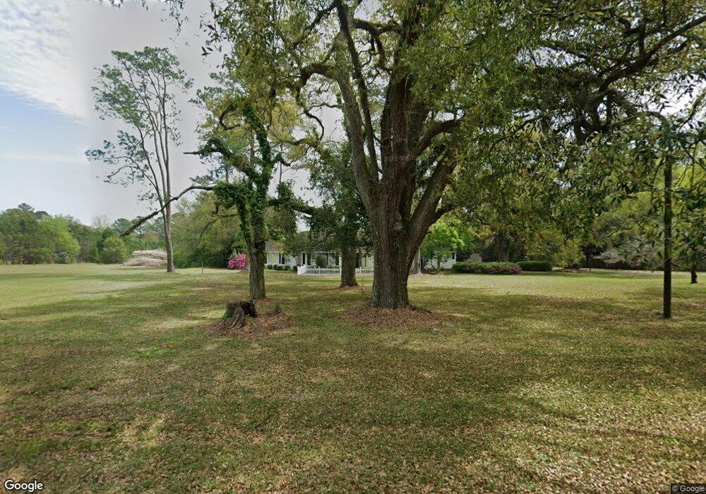
This home is located at 2261 Hadley Ferry Rd, Cairo, GA 39828 and is currently estimated at $346,939, approximately $137 per square foot. 2261 Hadley Ferry Rd is a home located in Grady County with nearby schools including Cairo High School.
Ownership History
Date
Name
Owned For
Owner Type
Purchase Details
Closed on
Jul 28, 2006
Sold by
Stambaugh Wayne D
Bought by
Cannington Martin L and Cannington Sheila D
Current Estimated Value
Home Financials for this Owner
Home Financials are based on the most recent Mortgage that was taken out on this home.
Original Mortgage
$220,450
Interest Rate
6.74%
Mortgage Type
New Conventional
Purchase Details
Closed on
Nov 13, 2001
Sold by
Law Timothy E
Bought by
Stambaugh Wayne D
Purchase Details
Closed on
Jun 12, 1998
Sold by
Allen Donna S
Bought by
Law Timothy E
Create a Home Valuation Report for This Property
The Home Valuation Report is an in-depth analysis detailing your home's value as well as a comparison with similar homes in the area
Purchase History
| Date | Buyer | Sale Price | Title Company |
|---|---|---|---|
| Cannington Martin L | $210,000 | -- | |
| Stambaugh Wayne D | $165,000 | -- | |
| Law Timothy E | $130,000 | -- |
Source: Public Records
Mortgage History
| Date | Status | Borrower | Loan Amount |
|---|---|---|---|
| Closed | Cannington Martin L | $220,450 |
Source: Public Records
Tax History
| Year | Tax Paid | Tax Assessment Tax Assessment Total Assessment is a certain percentage of the fair market value that is determined by local assessors to be the total taxable value of land and additions on the property. | Land | Improvement |
|---|---|---|---|---|
| 2024 | $2,622 | $109,295 | $21,503 | $87,792 |
| 2023 | $2,240 | $74,761 | $17,617 | $57,144 |
| 2022 | $2,240 | $74,761 | $17,617 | $57,144 |
| 2021 | $2,247 | $74,761 | $17,617 | $57,144 |
| 2020 | $2,255 | $74,761 | $17,617 | $57,144 |
| 2019 | $2,255 | $74,761 | $17,617 | $57,144 |
| 2018 | $2,117 | $74,761 | $17,617 | $57,144 |
| 2017 | $2,015 | $74,761 | $17,617 | $57,144 |
| 2016 | $1,762 | $65,256 | $17,617 | $47,639 |
| 2015 | $1,740 | $65,256 | $17,617 | $47,639 |
| 2014 | $1,743 | $65,256 | $17,617 | $47,639 |
| 2013 | -- | $66,076 | $20,217 | $45,858 |
Source: Public Records
Map
Nearby Homes
- 1870 Oakdale Rd SE
- 1217 Pine Park Rd
- 140 Elderberry Ln
- 298 Pine Cone Ln
- 130 17th Ave SE
- 198 Oakdale Rd SE
- 171 Council Ln
- 1405 Platt Ave
- 421 Lewis Rd
- 306 Midland Place
- 1193 S Broad St
- 270 Muggridge Ln
- 530 6th St
- 117 SW Pine Cirlce
- 112 Pine Cir SW
- 2ACR Lewis Rd
- 460 2nd St SW
- 530 6th Ave SE
- 481 4th St SE
- 000 S Broad St
- 2262 Hadley Ferry Rd
- 2282 Hadley Ferry Rd
- 2274 Hadley Ferry Rd
- 2229 Hadley Ferry Rd
- 2307 Hadley Ferry Rd
- 2330 Hadley Ferry Rd
- 2345 Hadley Ferry Rd
- 2365 Hadley Ferry Rd
- 2140 Hadley Ferry Rd
- 2394 Hadley Ferry Rd
- 2082 Cranford Rd
- 2034 Cranford Rd
- 736 Pine Park Rd
- 2095 Hadley Ferry Rd
- 622 Pine Park Rd
- 0 (Off) Pine Park Rd (10 Ac)
- 2048 Hadley Ferry Rd
- 673 Pine Park Rd
- 2034 Hadley Ferry Rd
- 727 Pine Park Rd