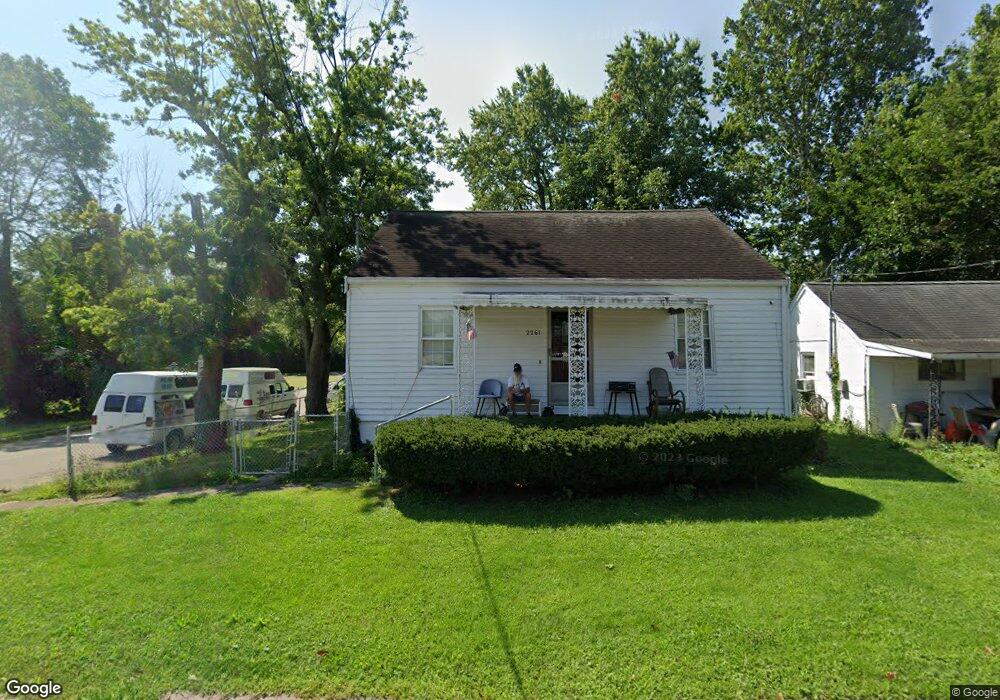
2261 Roosevelt Ave Cincinnati, OH 45231
Mount Healthy Heights NeighborhoodEstimated Value: $150,000 - $170,000
2
Beds
1
Bath
840
Sq Ft
$188/Sq Ft
Est. Value
About This Home
This home is located at 2261 Roosevelt Ave, Cincinnati, OH 45231 and is currently estimated at $158,296, approximately $188 per square foot. 2261 Roosevelt Ave is a home located in Hamilton County with nearby schools including Pleasant Run Elementary School, Taylor Elementary School, and Pleasant Run Middle School.
Ownership History
Date
Name
Owned For
Owner Type
Purchase Details
Closed on
Dec 1, 2021
Sold by
Stamper George W and The Sunday Ingram Living Trust
Bought by
Stamper George W
Current Estimated Value
Purchase Details
Closed on
Dec 4, 2019
Sold by
Ingram Sunday
Bought by
Ingram Sunday and Stamper George W
Purchase Details
Closed on
Apr 24, 1999
Sold by
Stamper Blaine C and Stamper Blaine Carl
Bought by
Ingram Sunday
Purchase Details
Closed on
Dec 3, 1998
Sold by
Estate Of Pina Stamper
Bought by
Stamper Blaine Carl
Create a Home Valuation Report for This Property
The Home Valuation Report is an in-depth analysis detailing your home's value as well as a comparison with similar homes in the area
Home Values in the Area
Average Home Value in this Area
Purchase History
| Date | Buyer | Sale Price | Title Company |
|---|---|---|---|
| Stamper George W | $50,000 | None Available | |
| Stamper George W | $50,000 | None Listed On Document | |
| Ingram Sunday | -- | None Available | |
| Ingram Sunday | -- | -- | |
| Stamper Blaine Carl | -- | -- |
Source: Public Records
Tax History Compared to Growth
Tax History
| Year | Tax Paid | Tax Assessment Tax Assessment Total Assessment is a certain percentage of the fair market value that is determined by local assessors to be the total taxable value of land and additions on the property. | Land | Improvement |
|---|---|---|---|---|
| 2024 | $2,218 | $36,250 | $3,896 | $32,354 |
| 2023 | $2,000 | $36,250 | $3,896 | $32,354 |
| 2022 | $1,315 | $17,070 | $3,427 | $13,643 |
| 2021 | $1,350 | $17,070 | $3,427 | $13,643 |
| 2020 | $1,333 | $17,070 | $3,427 | $13,643 |
| 2019 | $1,306 | $15,519 | $3,115 | $12,404 |
| 2018 | $1,312 | $15,519 | $3,115 | $12,404 |
| 2017 | $1,265 | $15,519 | $3,115 | $12,404 |
| 2016 | $1,290 | $15,418 | $3,619 | $11,799 |
| 2015 | $1,280 | $15,418 | $3,619 | $11,799 |
| 2014 | $1,272 | $15,418 | $3,619 | $11,799 |
| 2013 | $1,496 | $18,575 | $4,361 | $14,214 |
Source: Public Records
Map
Nearby Homes
- 2465 Wilson Ave
- 2508 Wilson Ave
- 10804 Sprucehill Dr
- 2696 Washington Ave
- 10762 Pippin Rd
- 10908 Tangleberry Ct
- 2845 Wilson Ave
- 1890 Lotushill Dr
- 2882 Wilson Ave
- 2717 Merrittview Ln
- 2936 Butterwick Dr
- 10443 Burlington Rd
- 2000 Struble Rd
- 2504 Houston Rd
- 2504 Houston Rd Unit 1
- 2502 Houston Rd
- 2502 Houston Rd Unit 2
- 1762 Lockbourne Dr
- 10359 Hawkhurst Dr
- 2474 Houston Rd
- 2269 Roosevelt Ave
- 2264 Roosevelt Ave
- 2242 Lincoln Ave
- 2284 Lincoln Ave
- 2236 Roosevelt Ave
- 2295 Roosevelt Ave
- 2237 Roosevelt Ave
- 2292 Lincoln Ave
- 2294 Roosevelt Ave
- 2265 Grant Ave
- 2273 Grant Ave
- 2311 Roosevelt Ave
- 2265 Lincoln Ave
- 2241 Grant Ave
- 2277 Lincoln Ave
- 2281 Grant Ave
- 2300 Lincoln Ave
- 2269 Grant Ave
- 2232 Roosevelt Ave
- 2235 Grant Ave