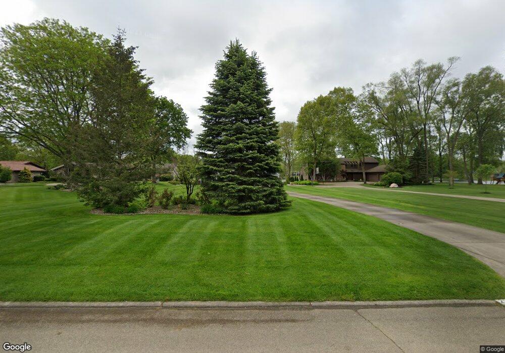
22610 Weatherby Ln Elkhart, IN 46514
Estimated Value: $725,000 - $851,000
4
Beds
5
Baths
3,142
Sq Ft
$251/Sq Ft
Est. Value
About This Home
This home is located at 22610 Weatherby Ln, Elkhart, IN 46514 and is currently estimated at $787,763, approximately $250 per square foot. 22610 Weatherby Ln is a home located in Elkhart County with nearby schools including Eastwood Elementary School, North Side Middle School, and Elkhart High School's Freshman Division.
Ownership History
Date
Name
Owned For
Owner Type
Purchase Details
Closed on
Jan 27, 2003
Sold by
Tepe Gary and Tepe Betsy A
Bought by
Tepe Betsy A
Current Estimated Value
Home Financials for this Owner
Home Financials are based on the most recent Mortgage that was taken out on this home.
Original Mortgage
$322,700
Interest Rate
6.01%
Purchase Details
Closed on
Jan 12, 2001
Sold by
Tepe Gary M and Tepe Betsy A
Bought by
Betsy A Tepe Revocable Living Trust
Create a Home Valuation Report for This Property
The Home Valuation Report is an in-depth analysis detailing your home's value as well as a comparison with similar homes in the area
Home Values in the Area
Average Home Value in this Area
Purchase History
| Date | Buyer | Sale Price | Title Company |
|---|---|---|---|
| Tepe Betsy A | -- | Metropolitan Title | |
| Tepe Gary | -- | Metropolitan Title | |
| Betsy A Tepe Revocable Living Trust | -- | -- |
Source: Public Records
Mortgage History
| Date | Status | Borrower | Loan Amount |
|---|---|---|---|
| Closed | Tepe Gary | $322,700 |
Source: Public Records
Tax History Compared to Growth
Tax History
| Year | Tax Paid | Tax Assessment Tax Assessment Total Assessment is a certain percentage of the fair market value that is determined by local assessors to be the total taxable value of land and additions on the property. | Land | Improvement |
|---|---|---|---|---|
| 2024 | $5,930 | $691,500 | $212,400 | $479,100 |
| 2022 | $5,930 | $620,800 | $212,400 | $408,400 |
| 2021 | $5,690 | $567,100 | $212,400 | $354,700 |
| 2020 | $5,301 | $483,600 | $212,400 | $271,200 |
| 2019 | $5,120 | $469,500 | $212,400 | $257,100 |
| 2018 | $5,677 | $516,200 | $265,600 | $250,600 |
| 2017 | $5,518 | $500,300 | $265,600 | $234,700 |
| 2016 | $5,404 | $491,500 | $265,600 | $225,900 |
| 2014 | $4,976 | $462,300 | $265,600 | $196,700 |
| 2013 | $4,623 | $462,300 | $265,600 | $196,700 |
Source: Public Records
Map
Nearby Homes
- 22694 Weatherby Ln
- 22828 Greenleaf Blvd
- 54574 Princess Ave
- 22907 State Road 120
- 22266 Heron Cove Ln
- 22252 Heron Cove Ln
- 54454 Heron Cove Ln
- 54254 Stone Way
- 22147 Sunset Ln
- 4334 E Bristol St
- 1539 Stone Ct
- 54137 Old Mill Dr
- 22805 Guilford Ct
- 21835 State Road 120
- 1671 Brookstone Ct
- 4314 Bristol St
- 23337 Shorelane
- 21820 Christopher Dr
- 54160 Forest Grove Ave
- 23151 Montrose Park Dr S
- 22628 Weatherby Ln
- 22590 Weatherby Ln
- 22572 Weatherby Ln
- 22554 Weatherby Ln
- 22664 Weatherby Ln
- 22613 Weatherby Ln
- 22591 Weatherby Ln
- 22645 Weatherby Ln
- 22573 Weatherby Ln
- 22536 Weatherby Ln
- 22682 Weatherby Ln
- 22663 Weatherby Ln
- 22555 Weatherby Ln
- 22624 Greenleaf Blvd
- 22602 Greenleaf Blvd
- 22520 Weatherby Ln
- 22650 Greenleaf Blvd
- 22588 Greenleaf Blvd
- 22685 Weatherby Ln
- 22531 Weatherby Ln