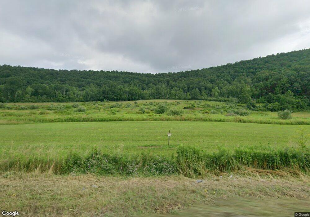
22617 Route 414 Monroeton, PA 18832
Estimated Value: $226,000 - $282,860
4
Beds
5
Baths
--
Sq Ft
136.04
Acres
About This Home
This home is located at 22617 Route 414, Monroeton, PA 18832 and is currently estimated at $261,215. 22617 Route 414 is a home located in Bradford County with nearby schools including Morrow Elementary School, Towanda Area Elementary School, and Towanda Area Junior/Senior High School.
Ownership History
Date
Name
Owned For
Owner Type
Purchase Details
Closed on
Aug 30, 2012
Sold by
Arnold Evelyn B and Arnold Lloyd S
Bought by
Arnold Brett
Current Estimated Value
Home Financials for this Owner
Home Financials are based on the most recent Mortgage that was taken out on this home.
Original Mortgage
$136,000
Outstanding Balance
$94,106
Interest Rate
3.57%
Mortgage Type
New Conventional
Estimated Equity
$167,109
Create a Home Valuation Report for This Property
The Home Valuation Report is an in-depth analysis detailing your home's value as well as a comparison with similar homes in the area
Home Values in the Area
Average Home Value in this Area
Purchase History
| Date | Buyer | Sale Price | Title Company |
|---|---|---|---|
| Arnold Brett | $170,000 | None Available |
Source: Public Records
Mortgage History
| Date | Status | Borrower | Loan Amount |
|---|---|---|---|
| Open | Arnold Brett | $136,000 |
Source: Public Records
Tax History Compared to Growth
Tax History
| Year | Tax Paid | Tax Assessment Tax Assessment Total Assessment is a certain percentage of the fair market value that is determined by local assessors to be the total taxable value of land and additions on the property. | Land | Improvement |
|---|---|---|---|---|
| 2025 | $2,362 | $37,050 | $0 | $0 |
| 2024 | $2,343 | $37,050 | $0 | $0 |
| 2023 | $2,343 | $37,050 | $0 | $0 |
| 2022 | $2,306 | $37,050 | $0 | $0 |
| 2021 | $2,306 | $37,050 | $0 | $0 |
| 2020 | $2,306 | $37,050 | $0 | $0 |
| 2019 | $2,250 | $37,050 | $0 | $0 |
| 2018 | $2,086 | $37,050 | $0 | $0 |
| 2017 | $2,139 | $37,050 | $0 | $0 |
| 2016 | -- | $42,350 | $0 | $0 |
| 2015 | -- | $42,350 | $0 | $0 |
| 2014 | $1,284 | $42,350 | $0 | $0 |
Source: Public Records
Map
Nearby Homes
- 82 Sharcanna Rd
- 99 E Laurel St
- 233 James Monroe Ave
- 261 James Monroe Ave
- 244 James Monroe Ave
- 182 Brookside Dr
- 13800 Route 220
- Lot 42A Hemlock Hill Rd
- Lot 49A Hemlock Hill Rd
- Lot 25A Hemlock Hill Rd
- Lot 16A Hemlock Hill Rd
- Lot 29A Hemlock Hill Rd
- Lot 45A Hemlock Hill Rd
- Lot 31A Hemlock Hill Rd
- Lot 44A Hemlock Hill Rd
- Lot 37A Hemlock Hill Rd
- Lot 5A Hemlock Hill Rd
- Lot 39A Hemlock Hill Rd
- Lot 7A Hemlock Hill Rd
- Lot 12A Hemlock Hill Rd
- 126 Birdsall Rd
- Box 64 Rr 1
- 1223 Brocktown Rd
- 289 Birdsall Rd
- 64 Garden Ln
- 1364 Brocktown Rd
- 0 Birdsall Rd
- 78 Stoney Acres Rd
- 59 Garden Ln
- 1396 Brocktown Rd
- 328 Birdsall Rd
- Box 287 Rr 1 Brocktown Rd
- 1436 Brocktown Rd
- 22251 Route 414
- 344 Birdsall Rd
- 970 Brocktown Rd Unit 1048
- 80 Midnight Ln
- 109 Canton Ave
- 203 Canton Ave
- 183 Canton Ave