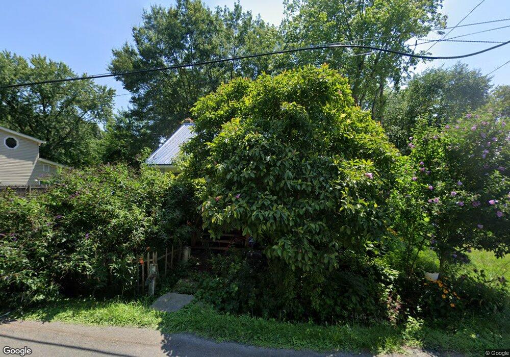
22619 Pot Pie Rd Wittman, MD 21676
Estimated Value: $78,619 - $207,000
Studio
--
Bath
--
Sq Ft
6,273
Sq Ft Lot
About This Home
This home is located at 22619 Pot Pie Rd, Wittman, MD 21676 and is currently estimated at $150,873. 22619 Pot Pie Rd is a home with nearby schools including Tilghman Elementary School, St. Michaels Middle/High School, and Easton High School.
Ownership History
Date
Name
Owned For
Owner Type
Purchase Details
Closed on
Sep 16, 2019
Sold by
Spurry Steven and Spurry Debra Ann
Bought by
Postlewait Craig T
Current Estimated Value
Home Financials for this Owner
Home Financials are based on the most recent Mortgage that was taken out on this home.
Original Mortgage
$40,000
Outstanding Balance
$17,790
Interest Rate
3.7%
Mortgage Type
New Conventional
Estimated Equity
$133,083
Purchase Details
Closed on
Jan 31, 1995
Sold by
Haddaway James Frank
Bought by
Robinson Edward L
Purchase Details
Closed on
Sep 23, 1994
Sold by
Granger Herbert E
Bought by
Spurry Steven
Create a Home Valuation Report for This Property
The Home Valuation Report is an in-depth analysis detailing your home's value as well as a comparison with similar homes in the area
Purchase History
| Date | Buyer | Sale Price | Title Company |
|---|---|---|---|
| Postlewait Craig T | $45,000 | Eatern Shore Title Company | |
| Robinson Edward L | $20,000 | -- | |
| Spurry Steven | $25,000 | -- |
Source: Public Records
Mortgage History
| Date | Status | Borrower | Loan Amount |
|---|---|---|---|
| Open | Postlewait Craig T | $40,000 | |
| Closed | Spurry Steven | -- |
Source: Public Records
Tax History
| Year | Tax Paid | Tax Assessment Tax Assessment Total Assessment is a certain percentage of the fair market value that is determined by local assessors to be the total taxable value of land and additions on the property. | Land | Improvement |
|---|---|---|---|---|
| 2025 | $276 | $30,400 | $11,300 | $19,100 |
| 2024 | $260 | $29,033 | $0 | $0 |
| 2023 | $235 | $27,667 | $0 | $0 |
| 2022 | $207 | $26,300 | $11,300 | $15,000 |
| 2021 | $200 | $26,300 | $11,300 | $15,000 |
| 2020 | $195 | $26,300 | $11,300 | $15,000 |
| 2019 | $293 | $39,500 | $25,100 | $14,400 |
| 2018 | $281 | $39,500 | $25,100 | $14,400 |
| 2017 | $260 | $39,500 | $0 | $0 |
| 2016 | $254 | $39,500 | $0 | $0 |
| 2015 | $324 | $39,500 | $0 | $0 |
| 2014 | $324 | $39,500 | $0 | $0 |
Source: Public Records
Map
Nearby Homes
- 8805 Cummings Rd
- 22582 Pot Pie Rd
- 8915 Palmer Ln
- 22707 Marshall Ln
- 22314 Pot Pie Rd
- 22349 Cooper Ln
- 8781 Tilghman Island Rd
- 9262 Macks Ln
- 8620 Bozman Neavitt Rd
- 9681 Macks Ln
- 8034 Bozman Neavitt Rd
- 21869 Albie Rd
- 23869 Mount Misery Rd
- 7651 Main St
- 7508 Cooper Point Rd
- 23961 Lynnewood Dr
- 0 Cooper Point Rd Unit MDTA2013120
- 23857 Ebb Point Rd
- 9180 Saint Michaels Rd
- 24354 Widgeon Place Unit 20
- 22611 Pot Pie Rd
- 22623 Pot Pie Rd
- 8830 Cummings Rd
- 22629 Pot Pie Rd
- 22601 Pot Pie Rd
- 8829 Cummings Rd
- 22606 Pot Pie Rd
- 22639 Pot Pie Rd
- 8814 Cummings Rd
- 22595 Pot Pie Rd
- 22600 Pot Pie Rd
- 8817 Cummings Rd
- 8808 Cummings Rd
- 22647 Pot Pie Rd
- 8872 New Rd
- 22585 Pot Pie Rd
- 22590 Pot Pie Rd
- 8837 Howeth Rd
- 22588 Pot Pie Rd
- 8880 New Rd
Your Personal Tour Guide
Ask me questions while you tour the home.