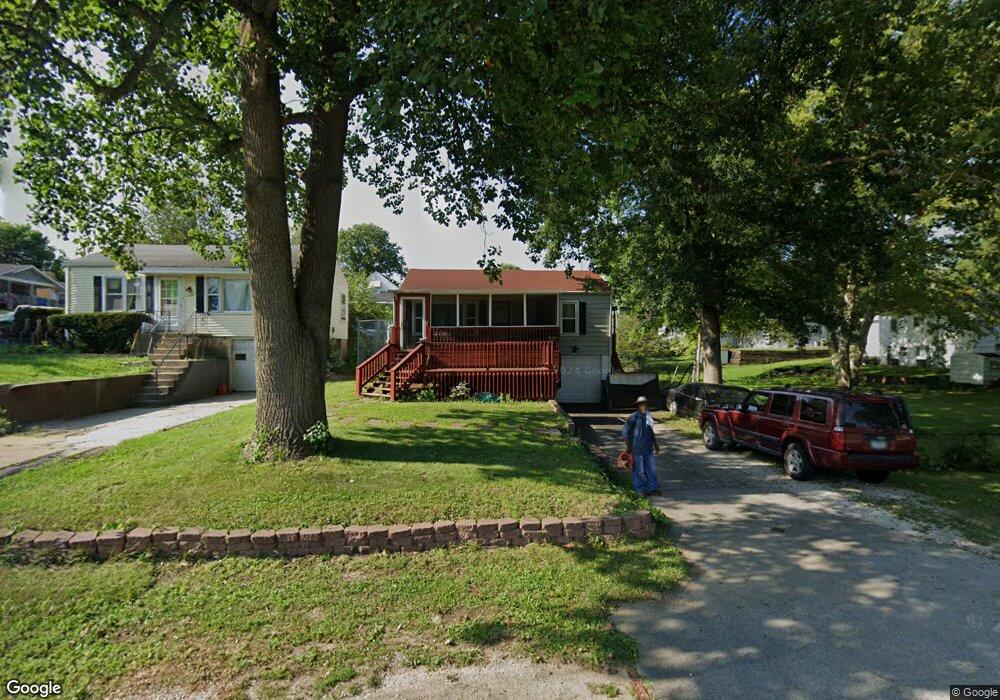
2262 E Powers Blvd Decatur, IL 62521
Nelson Park NeighborhoodEstimated Value: $62,000 - $70,000
3
Beds
2
Baths
2,288
Sq Ft
$29/Sq Ft
Est. Value
About This Home
This home is located at 2262 E Powers Blvd, Decatur, IL 62521 and is currently estimated at $66,710, approximately $29 per square foot. 2262 E Powers Blvd is a home located in Macon County with nearby schools including Michael E. Baum Elementary School, Stephen Decatur Middle School, and Robertson Charter School.
Ownership History
Date
Name
Owned For
Owner Type
Purchase Details
Closed on
Jul 20, 2009
Sold by
Paselk George Donald and Paselk Eleanor Olleen
Bought by
Jones Phyllis L
Current Estimated Value
Home Financials for this Owner
Home Financials are based on the most recent Mortgage that was taken out on this home.
Original Mortgage
$58,900
Outstanding Balance
$38,461
Interest Rate
5.32%
Mortgage Type
New Conventional
Estimated Equity
$28,249
Purchase Details
Closed on
Apr 1, 2001
Create a Home Valuation Report for This Property
The Home Valuation Report is an in-depth analysis detailing your home's value as well as a comparison with similar homes in the area
Home Values in the Area
Average Home Value in this Area
Purchase History
| Date | Buyer | Sale Price | Title Company |
|---|---|---|---|
| Jones Phyllis L | $620,000 | None Available | |
| -- | $64,500 | -- |
Source: Public Records
Mortgage History
| Date | Status | Borrower | Loan Amount |
|---|---|---|---|
| Open | Jones Phyllis L | $58,900 |
Source: Public Records
Tax History
| Year | Tax Paid | Tax Assessment Tax Assessment Total Assessment is a certain percentage of the fair market value that is determined by local assessors to be the total taxable value of land and additions on the property. | Land | Improvement |
|---|---|---|---|---|
| 2024 | $976 | $16,087 | $1,871 | $14,216 |
| 2023 | $947 | $15,518 | $1,805 | $13,713 |
| 2022 | $829 | $14,110 | $1,670 | $12,440 |
| 2021 | $739 | $13,178 | $1,560 | $11,618 |
| 2020 | $718 | $12,565 | $1,487 | $11,078 |
| 2019 | $718 | $12,565 | $1,487 | $11,078 |
| 2018 | $882 | $14,394 | $1,618 | $12,776 |
| 2017 | $919 | $14,778 | $1,661 | $13,117 |
| 2016 | $943 | $14,929 | $1,678 | $13,251 |
| 2015 | $886 | $14,665 | $1,648 | $13,017 |
| 2014 | $817 | $14,520 | $1,632 | $12,888 |
| 2013 | $865 | $15,065 | $1,693 | $13,372 |
Source: Public Records
Map
Nearby Homes
- 729 S 22nd St
- 2104 E Whitmer St
- 2152 E Decatur St
- 2039 E Whitmer St
- 2150 E Clay St
- 2360 E Wood St
- 1739 E Johns Ave
- 111 S 24th+520 E Division+870 N Union St
- 1722 E Johns Ave
- 632 S 17th St
- 203 S 25th St
- 2440 E Wood St
- 1135 S 21st St
- 1901 Indiana Ct
- 1202 Florida Ave
- 1608 E Clay St
- 2434 E Prairie St
- 1422 Sedgwick St
- 2819 E Wood St
- 1263 Sedgwick St
- 2262 Powers Blvd
- 2254 E Powers Blvd
- 2254 Powers Blvd
- 636 S 22nd Place
- 645 S 23rd St
- 626 S 22nd Place
- 635 S 23rd St
- 2234 Powers Blvd
- 2234 E Powers Blvd
- 625 S 23rd St
- 614 S 22nd Place
- 633 S 22nd Place
- 2232 Powers Blvd
- 2232 E Powers Blvd
- 623 S 22nd Place
- 2275 E Hendrix St
- 615 S 22nd Place
- 615 S 23rd St
- 2222 Powers Blvd
- 2222 E Powers Blvd
Your Personal Tour Guide
Ask me questions while you tour the home.