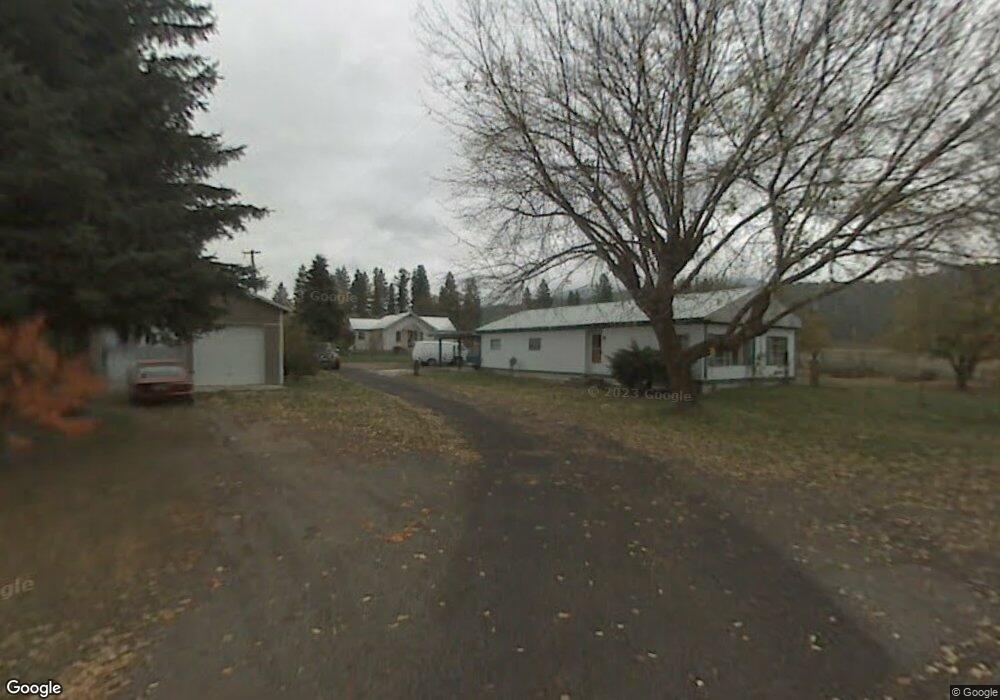
2262 Spence Rd Chewelah, WA 99109
Estimated Value: $200,574 - $231,000
--
Bed
--
Bath
1,820
Sq Ft
$120/Sq Ft
Est. Value
About This Home
This home is located at 2262 Spence Rd, Chewelah, WA 99109 and is currently estimated at $217,894, approximately $119 per square foot. 2262 Spence Rd is a home with nearby schools including Gess Elementary School and Jenkins Junior/Senior High School.
Ownership History
Date
Name
Owned For
Owner Type
Purchase Details
Closed on
Jun 13, 2024
Sold by
Tiersma Meije and Tiersma Jamie
Bought by
Tiersma Reuben
Current Estimated Value
Purchase Details
Closed on
May 28, 2013
Sold by
Finney Eugene C and Finney Mary M
Bought by
Tiersma Meije
Home Financials for this Owner
Home Financials are based on the most recent Mortgage that was taken out on this home.
Original Mortgage
$72,000
Interest Rate
3.32%
Mortgage Type
Seller Take Back
Create a Home Valuation Report for This Property
The Home Valuation Report is an in-depth analysis detailing your home's value as well as a comparison with similar homes in the area
Home Values in the Area
Average Home Value in this Area
Purchase History
| Date | Buyer | Sale Price | Title Company |
|---|---|---|---|
| Tiersma Reuben | $180,000 | None Listed On Document | |
| Tiersma Meije | $80,000 | Stevens County Title Company |
Source: Public Records
Mortgage History
| Date | Status | Borrower | Loan Amount |
|---|---|---|---|
| Previous Owner | Tiersma Meije | $72,000 |
Source: Public Records
Tax History Compared to Growth
Tax History
| Year | Tax Paid | Tax Assessment Tax Assessment Total Assessment is a certain percentage of the fair market value that is determined by local assessors to be the total taxable value of land and additions on the property. | Land | Improvement |
|---|---|---|---|---|
| 2024 | $1,369 | $184,348 | $93,300 | $91,048 |
| 2023 | $752 | $97,946 | $37,320 | $60,626 |
| 2022 | $652 | $78,404 | $37,320 | $41,084 |
| 2021 | $719 | $76,159 | $37,320 | $38,839 |
| 2020 | $708 | $76,159 | $37,320 | $38,839 |
| 2019 | $710 | $75,776 | $37,320 | $38,456 |
| 2018 | $501 | $74,766 | $37,320 | $37,446 |
| 2017 | $463 | $48,330 | $37,320 | $11,010 |
| 2016 | $439 | $48,330 | $37,320 | $11,010 |
| 2015 | $611 | $48,330 | $37,320 | $11,010 |
| 2013 | -- | $66,110 | $37,320 | $28,790 |
Source: Public Records
Map
Nearby Homes
- 1005 N 3rd St E
- XX1 N 7th St E
- XX2 N 7th St E
- 604 N 3rd St E
- 604 N 3rd St W
- XXX 5th St E
- 26xx Flowery Trail Rd
- 510 E Main Ave
- XXX Pinebrook Dr
- 108 E Main Ave
- 813 Tamarack Ln
- 208 W Main Ave
- 250 & 252 Quartzite Loop
- 902 N West St
- 604 N West St
- 708 N Ridge St
- 301 S 3rd St W
- 602 W King St
- 602 W King Ave
- 605 W King Ave
- 2265 Spence Rd
- 2255 Spence Rd
- 2261 Spence Rd
- 2260 Spence Rd
- 2314 Stolp Rd
- 2242 Spence Rd
- 2242 N 3rd St E
- 2312 Stolp Rd
- 2239 Spence Rd
- 2244 Cozy Nook Rd
- 2244 Cozy Nook Rd
- 2290 Stolp Rd
- 2302 Stolp Rd
- 1008 N 3rd St E
- 403 E Park Ln
- 300 N 3rd St E
- 000 N 3rd St E
- 2366 Burnt Valley Rd
- 2295 Stolp Rd
- 2299 Stolp Rd