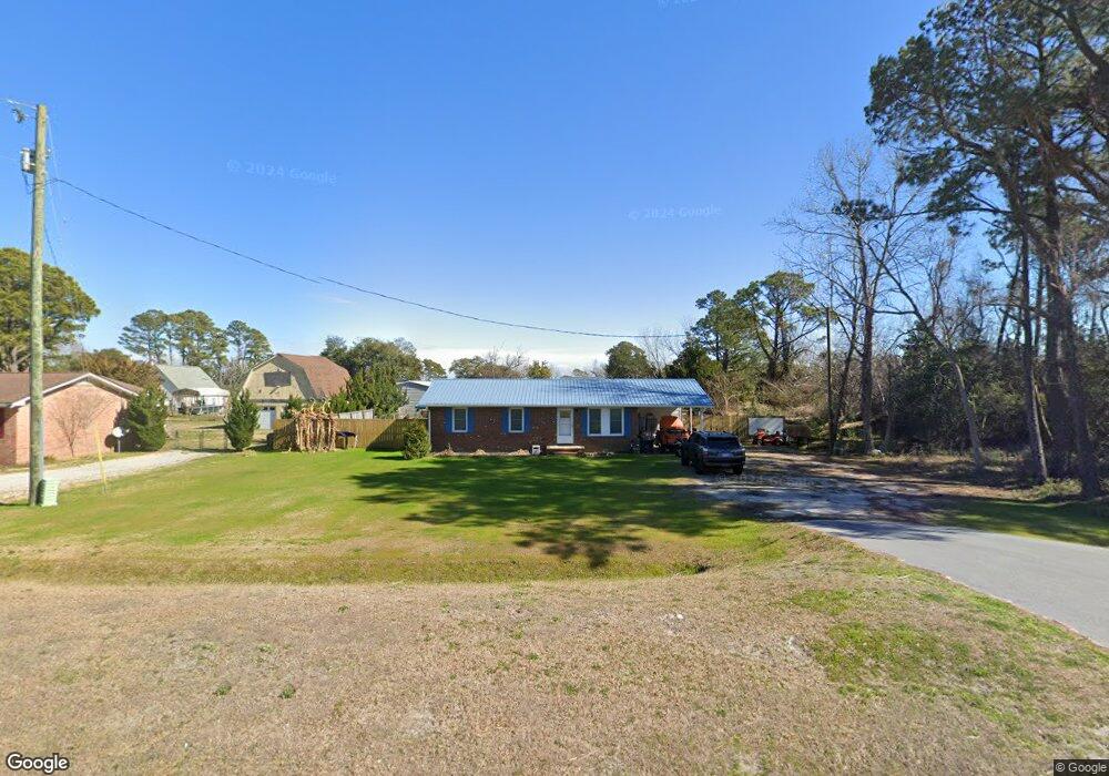
2262 Us Highway 70 E Beaufort, NC 28516
Estimated Value: $204,000 - $310,000
3
Beds
1
Bath
960
Sq Ft
$268/Sq Ft
Est. Value
About This Home
This home is located at 2262 Us Highway 70 E, Beaufort, NC 28516 and is currently estimated at $257,645, approximately $268 per square foot. 2262 Us Highway 70 E is a home located in Carteret County with nearby schools including Beaufort Elementary School, Beaufort Middle School, and East Carteret High School.
Ownership History
Date
Name
Owned For
Owner Type
Purchase Details
Closed on
Apr 13, 2017
Sold by
Noe Louis James and Noe Nancy Lewis
Bought by
Noe Jody and Noe Barbara A
Current Estimated Value
Home Financials for this Owner
Home Financials are based on the most recent Mortgage that was taken out on this home.
Original Mortgage
$96,662
Outstanding Balance
$81,323
Interest Rate
4.62%
Mortgage Type
FHA
Estimated Equity
$176,322
Purchase Details
Closed on
Jun 19, 2002
Create a Home Valuation Report for This Property
The Home Valuation Report is an in-depth analysis detailing your home's value as well as a comparison with similar homes in the area
Home Values in the Area
Average Home Value in this Area
Purchase History
| Date | Buyer | Sale Price | Title Company |
|---|---|---|---|
| Noe Jody | $100,000 | None Available | |
| Noe Christopher Howard | -- | None Available | |
| -- | -- | -- |
Source: Public Records
Mortgage History
| Date | Status | Borrower | Loan Amount |
|---|---|---|---|
| Open | Noe Jody | $96,662 |
Source: Public Records
Tax History Compared to Growth
Tax History
| Year | Tax Paid | Tax Assessment Tax Assessment Total Assessment is a certain percentage of the fair market value that is determined by local assessors to be the total taxable value of land and additions on the property. | Land | Improvement |
|---|---|---|---|---|
| 2025 | $870 | $220,468 | $54,777 | $165,691 |
| 2024 | $840 | $148,422 | $57,018 | $91,404 |
| 2023 | $914 | $148,422 | $57,018 | $91,404 |
| 2022 | $899 | $148,422 | $57,018 | $91,404 |
| 2021 | $742 | $148,422 | $57,018 | $91,404 |
| 2020 | $779 | $148,422 | $57,018 | $91,404 |
| 2019 | $698 | $140,140 | $39,342 | $100,798 |
| 2017 | $867 | $140,140 | $39,342 | $100,798 |
| 2016 | $846 | $140,140 | $39,342 | $100,798 |
| 2015 | $832 | $140,140 | $39,342 | $100,798 |
| 2014 | $626 | $132,933 | $46,012 | $86,921 |
Source: Public Records
Map
Nearby Homes
- 506 Perkins Rd
- 201 Windswept Ln
- 202 Windswept Ln
- 203 Windswept Ln
- 1202 Courtyard E
- 319 Taylorwood Dr
- 317 Taylorwood Dr
- Seagate 3 Plan at Beaufort Club
- Cotswold 3 Plan at Beaufort Club
- Pinehurst 3 Plan at Beaufort Club
- Pembroke 3 Plan at Beaufort Club
- Somerset 3 Plan at Beaufort Club
- Midland 2 Plan at Beaufort Club
- 315 Taylorwood Dr
- 3134 Highway 70 E
- 301 Courtyard E Unit 301
- 402 Taylorwood Dr
- 2547 U S 70
- 427 Meeting St
- 413 Meeting St
- 2262 U S 70
- 2270 Us Highway 70 E
- 125 Crystal Rd
- 131 Crystal Rd
- 2280 Us Highway 70 E
- 2280 Us Highway 70 E
- 121 Shell Landing Rd
- 139 Crystal Rd
- 2255 Us Highway 70 E
- 2286 U S 70
- 2263 Us Highway 70 E
- 2286 Us Highway 70 E
- 2291 Us Highway 70 E
- 2275 Us Highway 70 E
- 120 Crystal Rd
- 128 Crystal Rd
- 110 Shell Landing Rd
- 2235 Us Highway 70 E
- 134 Crystal Rd
- 141 Shell Landing Rd