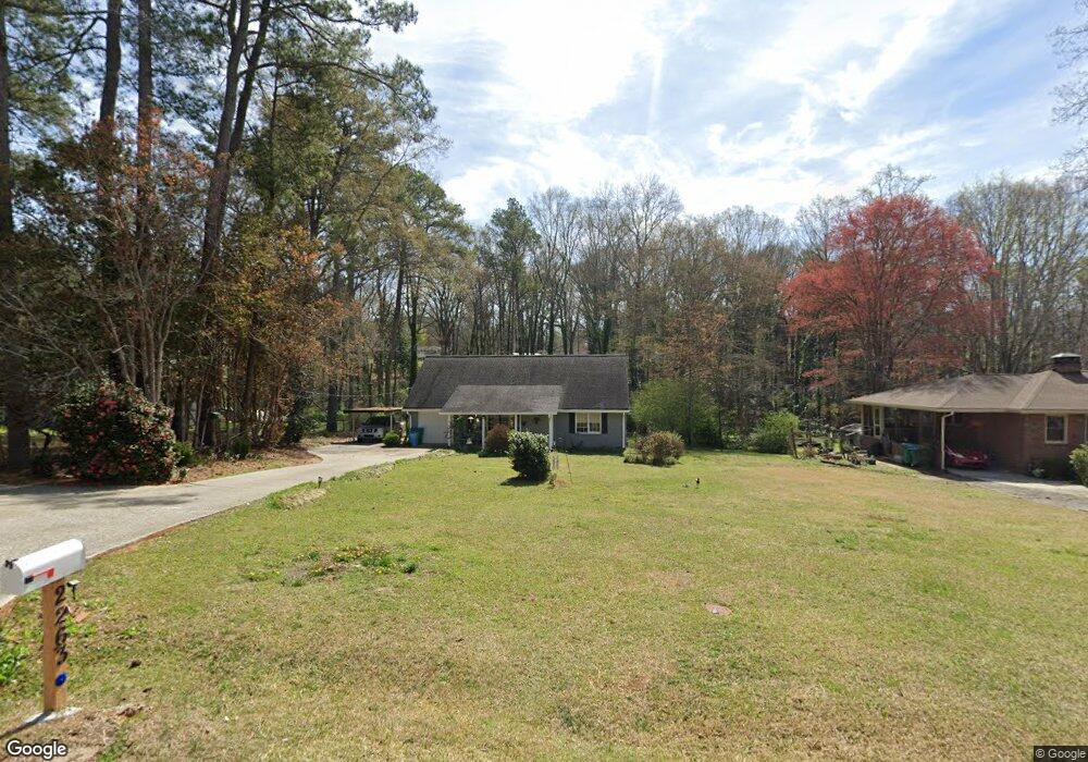
2263 Warren Dr Austell, GA 30106
Estimated Value: $265,626 - $362,000
4
Beds
2
Baths
1,674
Sq Ft
$184/Sq Ft
Est. Value
About This Home
This home is located at 2263 Warren Dr, Austell, GA 30106 and is currently estimated at $307,657, approximately $183 per square foot. 2263 Warren Dr is a home located in Cobb County with nearby schools including Austell Elementary School, Garrett Middle School, and South Cobb High School.
Ownership History
Date
Name
Owned For
Owner Type
Purchase Details
Closed on
Nov 30, 2001
Sold by
Carlton Jennifer L
Bought by
Rothrock John H
Current Estimated Value
Home Financials for this Owner
Home Financials are based on the most recent Mortgage that was taken out on this home.
Original Mortgage
$108,120
Outstanding Balance
$41,885
Interest Rate
6.6%
Mortgage Type
New Conventional
Estimated Equity
$265,772
Purchase Details
Closed on
Mar 31, 1997
Sold by
Jenkins Kenneth W Kathy A
Bought by
Carlton Jennifer L
Create a Home Valuation Report for This Property
The Home Valuation Report is an in-depth analysis detailing your home's value as well as a comparison with similar homes in the area
Home Values in the Area
Average Home Value in this Area
Purchase History
| Date | Buyer | Sale Price | Title Company |
|---|---|---|---|
| Rothrock John H | $106,000 | -- | |
| Carlton Jennifer L | $60,000 | -- |
Source: Public Records
Mortgage History
| Date | Status | Borrower | Loan Amount |
|---|---|---|---|
| Open | Rothrock John H | $108,120 | |
| Closed | Carlton Jennifer L | $0 |
Source: Public Records
Tax History
| Year | Tax Paid | Tax Assessment Tax Assessment Total Assessment is a certain percentage of the fair market value that is determined by local assessors to be the total taxable value of land and additions on the property. | Land | Improvement |
|---|---|---|---|---|
| 2025 | $2,532 | $114,472 | $16,000 | $98,472 |
| 2024 | $2,535 | $114,472 | $16,000 | $98,472 |
| 2023 | $1,992 | $114,472 | $16,000 | $98,472 |
Source: Public Records
Map
Nearby Homes
- 2232 Warren Dr
- 2136 Perkerson Mill Rd SW
- 5238 Jones Rd
- 5164 Medford Ln
- 1 Perkerson Mill Rd SW
- 2125 Clay Rd SW
- 6025 Park Wood Ct
- 2650 Park Ave
- 2276 Clay Rd SW
- 4975 Brawner Lake Dr
- 2331 Weslan Dr
- 1959 Oakbluff Dr
- 1943 Arnold Dr
- 0 Clay Rd
- 5025 Bishops Row SW
- 2093 Gherry Dr
- 5267 Bullard Ln
- 4809 Hemlock Dr
- 4747 Nelda Dr
- 5075 S Cobb School Rd SW
- 2273 Warren Dr
- 2259 Warren Dr
- 2285 Warren Dr
- 2276 Warren Dr
- 2293 Warren Dr
- 5190 Sumpter Place
- 2264 Warren Dr Unit 2264
- 2264 Warren Dr
- 2292 Warren Dr
- 2260 Warren Dr
- 5042 Sumpter Place
- 2316 Warren Dr
- 5217 Flint Hill Rd SW
- 2301 Warren Dr
- 2257 Warren Dr
- 5205 Sumpter Place
- 2240 Warren Dr
- 5185 Flint Hill Rd
- 5185 Flint Hill Rd SW
- 5241 Flint Hill Rd
Your Personal Tour Guide
Ask me questions while you tour the home.