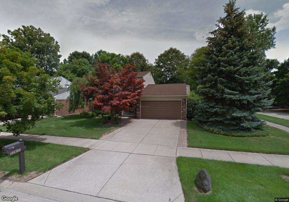
22637 Forestbrook Ln Unit Bldg-Unit Flat Rock, MI 48134
Estimated Value: $329,354 - $379,000
3
Beds
2
Baths
1,633
Sq Ft
$216/Sq Ft
Est. Value
About This Home
This home is located at 22637 Forestbrook Ln Unit Bldg-Unit, Flat Rock, MI 48134 and is currently estimated at $352,089, approximately $215 per square foot. 22637 Forestbrook Ln Unit Bldg-Unit is a home located in Wayne County with nearby schools including Bates Elementary School, Patrick Henry Middle School, and Brownstown Middle School.
Ownership History
Date
Name
Owned For
Owner Type
Purchase Details
Closed on
Jul 20, 2018
Sold by
Repp Jacqueline J
Bought by
Hierlihy Thomas and Hierlihy Courtney
Current Estimated Value
Purchase Details
Closed on
Jun 14, 2002
Sold by
Heath Edna A
Bought by
Repp Jacqueline J
Home Financials for this Owner
Home Financials are based on the most recent Mortgage that was taken out on this home.
Original Mortgage
$196,200
Interest Rate
6.8%
Mortgage Type
Purchase Money Mortgage
Purchase Details
Closed on
Dec 23, 1996
Sold by
Michael Michael J and Michael Elizabeth C
Bought by
Heath Stephen G and Heath Edna
Create a Home Valuation Report for This Property
The Home Valuation Report is an in-depth analysis detailing your home's value as well as a comparison with similar homes in the area
Home Values in the Area
Average Home Value in this Area
Purchase History
| Date | Buyer | Sale Price | Title Company |
|---|---|---|---|
| Hierlihy Thomas | $220,000 | Michigan Title Ins Agency In | |
| Repp Jacqueline J | $190,500 | -- | |
| Heath Stephen G | $146,500 | -- |
Source: Public Records
Mortgage History
| Date | Status | Borrower | Loan Amount |
|---|---|---|---|
| Previous Owner | Repp Jacqueline J | $196,200 |
Source: Public Records
Tax History
| Year | Tax Paid | Tax Assessment Tax Assessment Total Assessment is a certain percentage of the fair market value that is determined by local assessors to be the total taxable value of land and additions on the property. | Land | Improvement |
|---|---|---|---|---|
| 2025 | $3,004 | $148,100 | $0 | $0 |
| 2024 | $2,920 | $136,900 | $0 | $0 |
| 2023 | $2,786 | $123,200 | $0 | $0 |
| 2022 | $5,016 | $108,800 | $0 | $0 |
| 2021 | $4,587 | $104,500 | $0 | $0 |
| 2020 | $4,541 | $101,000 | $0 | $0 |
| 2019 | $4,508 | $97,400 | $0 | $0 |
| 2018 | $1,833 | $87,000 | $0 | $0 |
| 2017 | $3,148 | $86,000 | $0 | $0 |
| 2016 | $3,345 | $84,300 | $0 | $0 |
| 2015 | $7,002 | $85,000 | $0 | $0 |
| 2013 | $6,783 | $71,600 | $0 | $0 |
| 2012 | -- | $68,500 | $18,300 | $50,200 |
Source: Public Records
Map
Nearby Homes
- 24768 Christina Dr Unit 85
- 23721 W Lake Cir Unit 14
- 23664 W Lake Cir
- 00 Liddle St
- 23607 Telegraph Rd
- 25247 Warren Dr
- 23676 Lori Dr
- 22701 Beech Daly Rd
- 21650 Telegraph Rd
- 23617 Cora St
- 23300 Brentwood Dr
- 25860 Brighton Ln
- 23273 Bunte Ct Unit 51
- 24210 Westpointe St
- 24440 Sylvan Ave
- 24436 Mount Olive Dr
- 22043 Hillcrest Ct
- 23840 Brentwood Dr Unit 102
- Argonne Ave 8.8 Acre Argonne Ave
- Argonne Ave 5 Acres Argonne Ave
- 22637 Forestbrook Ln
- 22615 Forestbrook Ln
- 22593 Forestbrook Ln
- 22691 Forestbrook Ln
- 24662 Balsam Ct
- 24671 Timber Ridge Trail
- 22571 Forestbrook Ln
- 22713 Forestbrook Ln
- 24684 Balsam Ct
- 24693 Timber Ridge Trail
- 22735 Forestbrook Ln
- 24685 Balsam Ct
- 24706 Balsam Ct
- 22549 Forestbrook Ln
- 24715 Timber Ridge Trail
- 24674 Shadowwood Ln
- 24648 Timber Ridge Trail
- 22757 Forestbrook Ln
- 24707 Balsam Ct
- 24670 Timber Ridge Trail
Your Personal Tour Guide
Ask me questions while you tour the home.