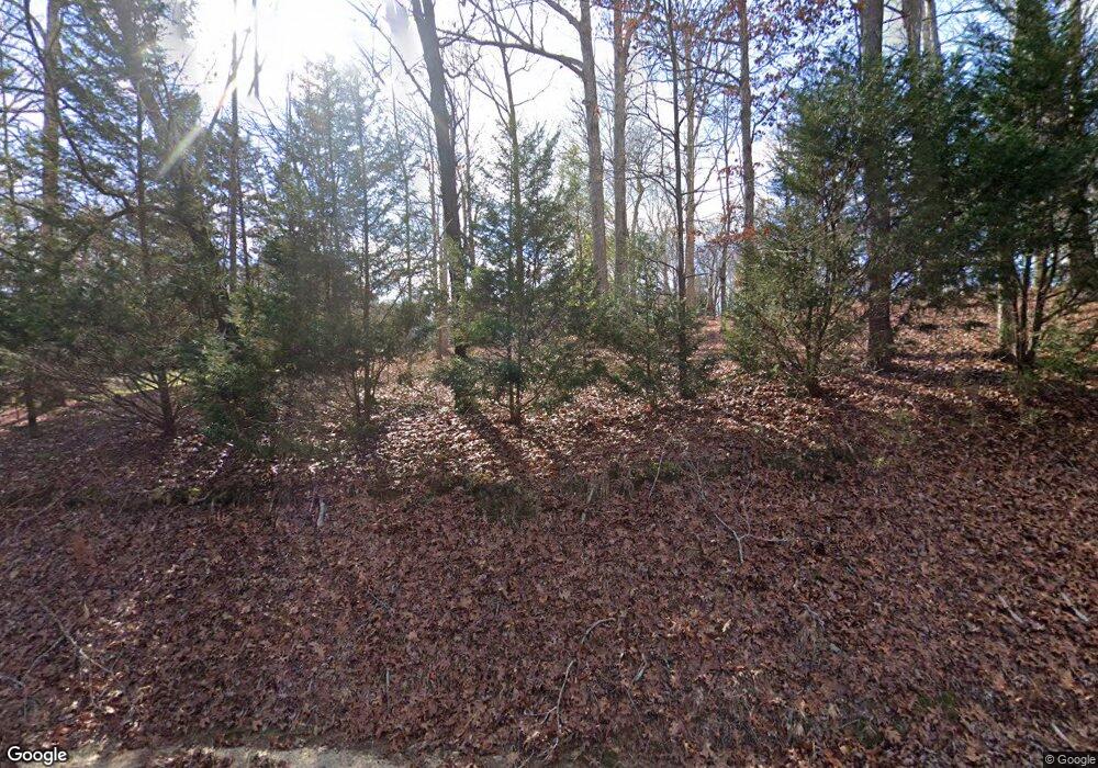
2265 Baptist Grove Rd Fuquay Varina, NC 27526
Estimated Value: $528,000 - $823,000
3
Beds
3
Baths
2,667
Sq Ft
$252/Sq Ft
Est. Value
About This Home
This home is located at 2265 Baptist Grove Rd, Fuquay Varina, NC 27526 and is currently estimated at $672,192, approximately $252 per square foot. 2265 Baptist Grove Rd is a home located in Harnett County with nearby schools including LaFayette Year-Round Elementary School, Harnett Central Middle School, and Harnett Central High School.
Ownership History
Date
Name
Owned For
Owner Type
Purchase Details
Closed on
Aug 30, 2012
Sold by
Newcomer Keith C and Newcomer Patricia S
Bought by
Ginn Thomas Michael and Ginn Betsy Ellen
Current Estimated Value
Home Financials for this Owner
Home Financials are based on the most recent Mortgage that was taken out on this home.
Original Mortgage
$342,000
Outstanding Balance
$236,761
Interest Rate
3.58%
Mortgage Type
New Conventional
Estimated Equity
$435,431
Create a Home Valuation Report for This Property
The Home Valuation Report is an in-depth analysis detailing your home's value as well as a comparison with similar homes in the area
Home Values in the Area
Average Home Value in this Area
Purchase History
| Date | Buyer | Sale Price | Title Company |
|---|---|---|---|
| Ginn Thomas Michael | $372,000 | None Available |
Source: Public Records
Mortgage History
| Date | Status | Borrower | Loan Amount |
|---|---|---|---|
| Open | Ginn Thomas Michael | $342,000 |
Source: Public Records
Tax History Compared to Growth
Tax History
| Year | Tax Paid | Tax Assessment Tax Assessment Total Assessment is a certain percentage of the fair market value that is determined by local assessors to be the total taxable value of land and additions on the property. | Land | Improvement |
|---|---|---|---|---|
| 2025 | $3,503 | $509,401 | $0 | $0 |
| 2024 | $3,503 | $509,401 | $0 | $0 |
| 2023 | $3,503 | $509,401 | $0 | $0 |
| 2022 | $3,396 | $509,401 | $0 | $0 |
| 2021 | $3,396 | $398,890 | $0 | $0 |
| 2020 | $3,396 | $398,890 | $0 | $0 |
| 2019 | $3,381 | $398,890 | $0 | $0 |
| 2018 | $3,381 | $398,890 | $0 | $0 |
| 2017 | $3,381 | $398,890 | $0 | $0 |
| 2016 | $2,849 | $334,760 | $0 | $0 |
| 2015 | -- | $334,760 | $0 | $0 |
| 2014 | -- | $334,760 | $0 | $0 |
Source: Public Records
Map
Nearby Homes
- 269 Deer Tail Ln Unit Lot 44
- 25 Deer Tail Ln Unit Lot 52
- 25 Cotton Fields Ln Unit Lot 29
- 165 Cotton Fields Ln Unit Lot 25
- 545 Deer Tail Ln
- 125 Cotton Fields Ln Unit Lot 26
- 433 Village Bend Dr
- 148 Hook Dr Unit Lot 7
- 0 Hardee Rd
- 262 Hook Dr Unit Lot 12
- 280 Hook Dr Unit Lot 13
- 300 Hook Dr Unit Lot 14
- 266 Windy Farm Dr
- 309 Brindle Dr
- 305 Brindle Dr
- 281 Mill Bend Dr
- 117 Mill Bend Dr
- 16 Blue Monarch Ln
- 226 Castle Pond Way
- 182 Prince Place Dr
- 2251 Baptist Grove Rd
- 2371 Baptist Grove Rd
- 724 Laurel Brook Ct
- 728 Laurel Brook Ct
- 150 Laurel Brook Ct
- 705 Laurel Brook Ct
- 709 Laurel Brook Ct
- 725 Laurel Brook Ct
- 729 Laurel Brook Ct
- 35 Laurel Brook Ct
- 135 Laurel Brook Ct
- 196 Laurel Brook Ct
- 2150 Baptist Grove Rd
- 60 Ridge Ct
- 225 Laurel Brook Ct
- 236 Laurel Brook Ct
- 2073 Baptist Grove Rd
- 11 Ridge Ct
- 74 Ridge Ct
- 9 Baptist Grove Rd
