Estimated Value: $622,401 - $664,000
3
Beds
2
Baths
1,793
Sq Ft
$360/Sq Ft
Est. Value
About This Home
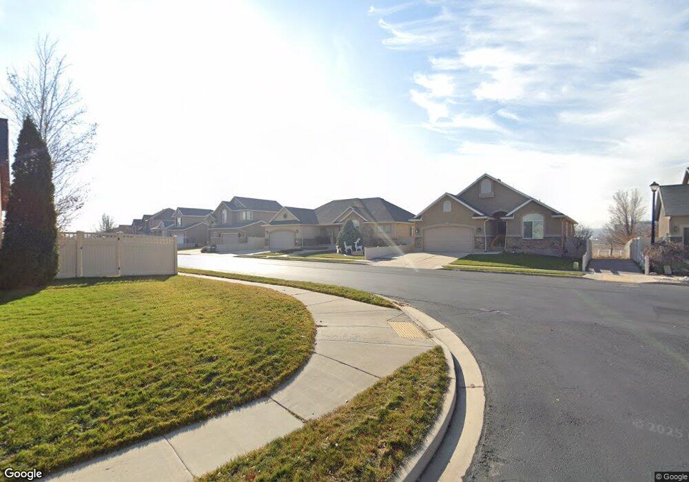
This home is located at 2265 N 2600 W, Lehi, UT 84043 and is currently estimated at $645,850, approximately $360 per square foot. 2265 N 2600 W is a home located in Utah County with nearby schools including Liberty Hills Elementary School, Skyridge High School, and Ascent Academies of Utah - Lehi Campus.
Ownership History
Date
Name
Owned For
Owner Type
Purchase Details
Closed on
Mar 24, 2022
Sold by
Petot Melvin F
Bought by
Petot Family Trust
Current Estimated Value
Purchase Details
Closed on
Jun 6, 2007
Sold by
Ivory Homes Ltd
Bought by
Petot Melvin F and Petot Norma Leticia
Home Financials for this Owner
Home Financials are based on the most recent Mortgage that was taken out on this home.
Original Mortgage
$41,150
Interest Rate
6.16%
Mortgage Type
Stand Alone Second
Create a Home Valuation Report for This Property
The Home Valuation Report is an in-depth analysis detailing your home's value as well as a comparison with similar homes in the area
Home Values in the Area
Average Home Value in this Area
Purchase History
| Date | Buyer | Sale Price | Title Company |
|---|---|---|---|
| Petot Family Trust | -- | Jones Waldo Holbrook & Mcdonou | |
| Petot Melvin F | -- | Cottonwood Title | |
| Ivory Homes Ltd | -- | Cottonwood Title |
Source: Public Records
Mortgage History
| Date | Status | Borrower | Loan Amount |
|---|---|---|---|
| Previous Owner | Ivory Homes Ltd | $41,150 | |
| Previous Owner | Petot Melvin F | $329,400 |
Source: Public Records
Tax History Compared to Growth
Tax History
| Year | Tax Paid | Tax Assessment Tax Assessment Total Assessment is a certain percentage of the fair market value that is determined by local assessors to be the total taxable value of land and additions on the property. | Land | Improvement |
|---|---|---|---|---|
| 2025 | $2,639 | $320,375 | $223,300 | $359,200 |
| 2024 | $2,639 | $308,880 | $0 | $0 |
| 2023 | $2,511 | $319,055 | $0 | $0 |
| 2022 | $2,639 | $325,050 | $0 | $0 |
| 2021 | $2,376 | $442,400 | $129,200 | $313,200 |
| 2020 | $2,240 | $412,300 | $119,600 | $292,700 |
| 2019 | $2,043 | $391,000 | $119,600 | $271,400 |
| 2018 | $2,036 | $368,300 | $112,700 | $255,600 |
| 2017 | $2,003 | $192,665 | $0 | $0 |
| 2016 | $2,023 | $180,510 | $0 | $0 |
| 2015 | $2,072 | $175,505 | $0 | $0 |
| 2014 | $1,969 | $165,825 | $0 | $0 |
Source: Public Records
Map
Nearby Homes
- 2189 N 2600 W
- 2464 W 2250 N
- 2196 N 2350 W
- Huntington Plan at Pioneer Meadows
- Silver Lake Plan at Pioneer Meadows
- Summit Plan at Pioneer Meadows
- Palisade Plan at Pioneer Meadows
- 1968 N 2040 W Unit 40
- 1969 N 2040 St W
- 2013 N 2040 W
- 1990 N 2040 W
- 1990 N 2040 W Unit 41
- 1970 N 2090 St W
- 1854 N 2230 W
- 1842 N 2230 W
- 1870 N 2230 W
- 1870 N 2230 W Unit 23
- 1896 N 2230 W
- 1908 N 2230 W
- 1832 N 2230 W