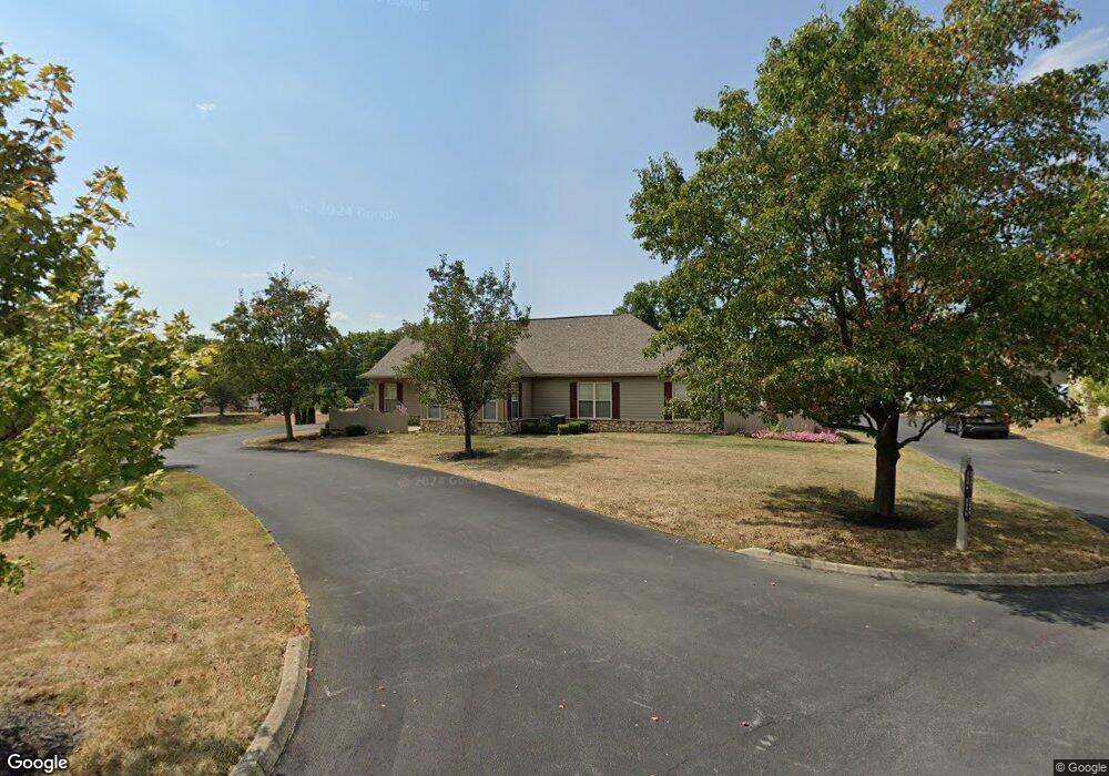
2265 William T Cir Unit 22265 Lancaster, OH 43130
Estimated Value: $245,000 - $284,000
2
Beds
2
Baths
1,242
Sq Ft
$212/Sq Ft
Est. Value
About This Home
This home is located at 2265 William T Cir Unit 22265, Lancaster, OH 43130 and is currently estimated at $263,458, approximately $212 per square foot. 2265 William T Cir Unit 22265 is a home located in Fairfield County with nearby schools including Medill Elementary School, Thomas Ewing Junior High School, and Lancaster High School.
Ownership History
Date
Name
Owned For
Owner Type
Purchase Details
Closed on
Mar 20, 2015
Sold by
Caten Jerilea
Bought by
Caten Jerilea
Current Estimated Value
Purchase Details
Closed on
Mar 31, 2004
Sold by
Dovel Ltd
Bought by
Caten Jerilea
Create a Home Valuation Report for This Property
The Home Valuation Report is an in-depth analysis detailing your home's value as well as a comparison with similar homes in the area
Home Values in the Area
Average Home Value in this Area
Purchase History
| Date | Buyer | Sale Price | Title Company |
|---|---|---|---|
| Caten Jerilea | -- | Attorney | |
| Caten Jerilea | $132,900 | Hocking Valley Title Agency |
Source: Public Records
Tax History Compared to Growth
Tax History
| Year | Tax Paid | Tax Assessment Tax Assessment Total Assessment is a certain percentage of the fair market value that is determined by local assessors to be the total taxable value of land and additions on the property. | Land | Improvement |
|---|---|---|---|---|
| 2024 | $5,763 | $64,100 | $11,760 | $52,340 |
| 2023 | $2,331 | $64,100 | $11,760 | $52,340 |
| 2022 | $2,341 | $64,100 | $11,760 | $52,340 |
| 2021 | $1,949 | $50,010 | $11,760 | $38,250 |
| 2020 | $1,960 | $50,010 | $11,760 | $38,250 |
| 2019 | $1,776 | $50,010 | $11,760 | $38,250 |
| 2018 | $1,702 | $45,540 | $11,760 | $33,780 |
| 2017 | $1,703 | $45,540 | $11,760 | $33,780 |
| 2016 | $1,659 | $45,540 | $11,760 | $33,780 |
| 2015 | $1,652 | $44,030 | $11,760 | $32,270 |
| 2014 | $1,574 | $44,030 | $11,760 | $32,270 |
| 2013 | $1,574 | $44,030 | $11,760 | $32,270 |
Source: Public Records
Map
Nearby Homes
- 2195 William T Cir
- 1801 Pleasantview Dr NE
- 1916 Country Place
- 1590 Northwood Dr NE
- 2149 Pleasantview Dr NE
- 0 Stringtown Rd NW
- 173 Lakeview Dr NE
- 1101 Beechwood Dr NE
- 1195 Longwood Dr NE
- 1189 Ridge Rd NE
- 0 Old Millersport Rd NE Unit Tract 8 224028101
- 0 Old Millersport Rd NE Unit Lot 10 225033491
- 0 Old Millersport Rd NE Unit 225010386
- 1799 Declaration Dr W
- 0 Declaration Dr W Unit 219044159
- 2444 Sheridan Dr
- 1523 Fuller Ct
- 0 Tschopp Rd NE Unit Lot 17 225027320
- 0 Tschopp Rd NE Unit Lot 33 225027324
- 1669 Lexington Dr
- 2267 William T Cir Unit 22267
- 2261 William T Cir Unit 22261
- 2263 William T Cir Unit 22263
- 708 Sherman Bluff Way Unit 1708
- 704 Sherman Bluff Way Unit 1704
- 2254 William T Cir Unit 32254
- 2252 William T Cir
- 2258 William T Cir Unit 32258
- 2256 William T Cir Unit 32256
- 2070 William T Cir
- 1795 Lancaster Newark Rd NE
- 2244 William T Cir
- 1845 Lancaster Newark Rd NE
- 711 Sherman Bluff Way Unit 14711
- 713 Sherman Bluff Way Unit 14713
- 2237 William T Cir Unit 52237
- 2233 William T Cir Unit 52233
- 2248 William T Cir Unit 42248
- 2242 William T Cir Unit 42242
- 1765 Lancaster Newark Rd NE