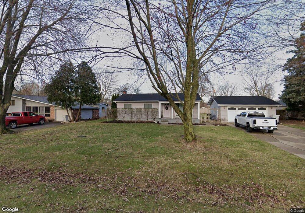
22657 Sandra St South Lyon, MI 48178
Estimated Value: $253,000 - $308,000
3
Beds
1
Bath
975
Sq Ft
$284/Sq Ft
Est. Value
About This Home
This home is located at 22657 Sandra St, South Lyon, MI 48178 and is currently estimated at $276,806, approximately $283 per square foot. 22657 Sandra St is a home located in Oakland County with nearby schools including Sayre Elementary School, Centennial Middle School, and South Lyon High School.
Ownership History
Date
Name
Owned For
Owner Type
Purchase Details
Closed on
Nov 28, 2017
Sold by
Calus Matthew W and Calus Marsha L
Bought by
Sexton Ann Marie
Current Estimated Value
Home Financials for this Owner
Home Financials are based on the most recent Mortgage that was taken out on this home.
Original Mortgage
$142,450
Outstanding Balance
$120,878
Interest Rate
4.25%
Mortgage Type
FHA
Estimated Equity
$155,928
Purchase Details
Closed on
Jan 29, 2007
Sold by
Blake Thomas E
Bought by
Calus Matthew W and Searles Marsha L
Home Financials for this Owner
Home Financials are based on the most recent Mortgage that was taken out on this home.
Original Mortgage
$180,573
Interest Rate
6.22%
Mortgage Type
FHA
Purchase Details
Closed on
Jul 1, 1997
Sold by
Chambers Robert J
Bought by
Blake Thomas E
Create a Home Valuation Report for This Property
The Home Valuation Report is an in-depth analysis detailing your home's value as well as a comparison with similar homes in the area
Home Values in the Area
Average Home Value in this Area
Purchase History
| Date | Buyer | Sale Price | Title Company |
|---|---|---|---|
| Sexton Ann Marie | $185,000 | Title One Inc | |
| Calus Matthew W | $182,000 | Eit Title | |
| Blake Thomas E | $130,000 | -- |
Source: Public Records
Mortgage History
| Date | Status | Borrower | Loan Amount |
|---|---|---|---|
| Open | Sexton Ann Marie | $142,450 | |
| Previous Owner | Calus Matthew W | $180,573 |
Source: Public Records
Tax History Compared to Growth
Tax History
| Year | Tax Paid | Tax Assessment Tax Assessment Total Assessment is a certain percentage of the fair market value that is determined by local assessors to be the total taxable value of land and additions on the property. | Land | Improvement |
|---|---|---|---|---|
| 2024 | $1,619 | $97,340 | $0 | $0 |
| 2023 | $1,544 | $87,880 | $0 | $0 |
| 2022 | $2,125 | $79,140 | $0 | $0 |
| 2021 | $1,934 | $73,380 | $0 | $0 |
| 2020 | $1,420 | $67,600 | $0 | $0 |
| 2019 | $1,930 | $63,730 | $0 | $0 |
| 2018 | $1,940 | $63,140 | $0 | $0 |
| 2017 | $2,299 | $59,850 | $0 | $0 |
| 2016 | $2,297 | $55,640 | $0 | $0 |
| 2015 | -- | $49,610 | $0 | $0 |
| 2014 | -- | $45,550 | $0 | $0 |
| 2011 | -- | $43,100 | $0 | $0 |
Source: Public Records
Map
Nearby Homes
- 22607 Kay St
- 110 Princeton Dr
- 22622 Pine Dr
- 162 Princeton Dr
- 108 Princeton Dr Unit 4
- 27487 Pontiac Trail
- 22150 Donnas Drive St
- 1106 Fountain View Cir Unit 11A
- 320 Hampton Ct Unit 33
- 429 Cambridge Ave
- 14 Boat Slip
- 22185 Quail Run Cir Unit 3
- 59121 Oasis Center Dr
- 24917 Martindale Rd
- 22214 Hilda Ln
- 22262 Wagee Ct
- 0000 7 Mile Seven Mile Rd
- 22213 Hilda Ln
- 22206 Hilda Ln
- 22210 Hilda Ln
- 22641 Sandra St
- 22681 Sandra St
- 60641 Lillian St
- 22728 Kay St
- 22660 Sandra St
- 60665 Lillian St
- 22600 Sandra St
- 22690 Sandra St
- 22609 Sandra St
- 60687 Lillian St
- 60640 Lillian St
- 22630 Sandra St
- 60592 Lillian St
- 22659 Valerie St
- 60672 Lillian St
- 22715 Kay St
- 22761 Kay St
- 60561 Lillian St
- 60608 Lillian St
- 22635 Valerie St