2266 Stone Cliff Dr Saint George, UT 84790
Stone Cliff NeighborhoodEstimated Value: $2,015,000 - $3,592,438
5
Beds
5
Baths
6,940
Sq Ft
$400/Sq Ft
Est. Value
About This Home
This home is located at 2266 Stone Cliff Dr, Saint George, UT 84790 and is currently estimated at $2,772,813, approximately $399 per square foot. 2266 Stone Cliff Dr is a home located in Washington County with nearby schools including Crimson View Elementary School, Washington Fields Intermediate School, and Crimson Cliffs Middle School.
Ownership History
Date
Name
Owned For
Owner Type
Purchase Details
Closed on
May 9, 2017
Sold by
Barbosa Albert and Barbosa Wendy
Bought by
Vanmatre Larry R and Vanmatre Van Matre
Current Estimated Value
Home Financials for this Owner
Home Financials are based on the most recent Mortgage that was taken out on this home.
Original Mortgage
$232,927
Outstanding Balance
$193,920
Interest Rate
4.14%
Mortgage Type
Commercial
Estimated Equity
$2,578,893
Purchase Details
Closed on
Jan 25, 2011
Sold by
Southwest Community Federal Credit Union
Bought by
Barbosa Albert and Barbosa Wendy
Purchase Details
Closed on
Nov 1, 2010
Sold by
Bradford Perry D and Bradford Suzanne M
Bought by
Southwest Community Credit Union
Purchase Details
Closed on
Feb 4, 2008
Sold by
Bradford Perry D and Bradford Suzanne M
Bought by
Bradford Family Trust
Create a Home Valuation Report for This Property
The Home Valuation Report is an in-depth analysis detailing your home's value as well as a comparison with similar homes in the area
Home Values in the Area
Average Home Value in this Area
Purchase History
| Date | Buyer | Sale Price | Title Company |
|---|---|---|---|
| Vanmatre Larry R | -- | First American Title Ins Co | |
| Barbosa Albert | -- | American Secure Title St Geo | |
| Southwest Community Credit Union | $690,041 | None Available | |
| Bradford Family Trust | -- | None Available |
Source: Public Records
Mortgage History
| Date | Status | Borrower | Loan Amount |
|---|---|---|---|
| Open | Vanmatre Larry R | $232,927 |
Source: Public Records
Tax History Compared to Growth
Tax History
| Year | Tax Paid | Tax Assessment Tax Assessment Total Assessment is a certain percentage of the fair market value that is determined by local assessors to be the total taxable value of land and additions on the property. | Land | Improvement |
|---|---|---|---|---|
| 2025 | $8,726 | $1,298,330 | $257,125 | $1,041,205 |
| 2023 | $8,170 | $1,220,670 | $190,575 | $1,030,095 |
| 2022 | $8,637 | $1,213,630 | $181,500 | $1,032,130 |
| 2021 | $7,468 | $1,564,800 | $269,500 | $1,295,300 |
| 2020 | $6,545 | $1,291,700 | $253,000 | $1,038,700 |
| 2019 | $6,194 | $1,194,100 | $236,500 | $957,600 |
| 2018 | $5,774 | $558,030 | $0 | $0 |
| 2017 | $11,214 | $1,083,800 | $0 | $0 |
| 2016 | $10,835 | $1,065,900 | $0 | $0 |
| 2015 | $12,131 | $1,040,300 | $0 | $0 |
| 2014 | $11,936 | $1,030,000 | $0 | $0 |
Source: Public Records
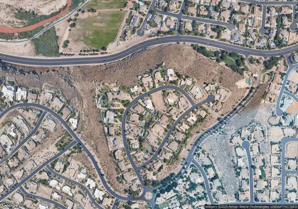
Map
Nearby Homes
- 1557 Stone Cliff Dr
- 1557 Stone Cliff Dr
- 1622 S Agate Cir
- 1648 S Quartz Dr
- 2031 E Cliff Point Dr
- 2054 Topaz Way
- 2473 E Cobalt Dr
- 1815 S Paragon Dr
- 2018 E Opal Way
- 2426 E Springs Dr
- 2240 E Cobalt Dr Unit 9
- 1501 Boulder Mountain Rd
- 2596 E Flint St
- 2567 E Marble Dr
- 2567 E Marble Dr Unit 1110
- 2546 E 1240 S
- 1489 S 2670 E
- 0 Shale Cir
- 1526 Shale Dr
- 1816 Boulder Cove Cir
- 2248 Stone Cliff Dr
- 2282 Stone Cliff Dr
- 808 Stone Cliff Dr
- 2250 Stone Cliff Dr
- 2250 Stone Cliff Dr Unit 30
- 802 Stone Cliff Dr
- 1557 Stone Cliff Dr Unit 29
- 1947 Stone Cliff Dr
- 2310 Stone Cliff Dr
- 2275 Stone Cliff Dr
- 2259 Stone Cliff Dr
- 2310 Stone Cliff Dr
- 1570 Stone Cliff Dr
- 2275 Stone Cliff Dr
- 2331 Stone Crest Way
- 2303 E Stone Crest Way
- 2303 Stone Crest Way
- 1573 Stone Cliff Dr
- 1573 Stone Cliff Dr Unit LOT 28
- 1540 Stone Cliff Dr