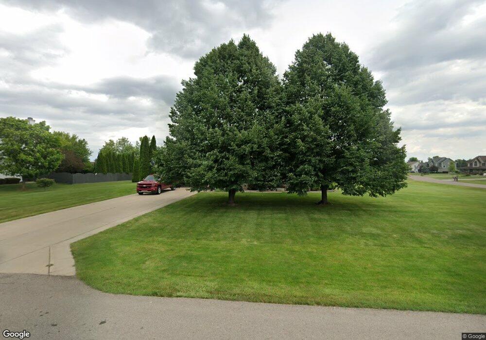
2267 Burning Tree Cir Owosso, MI 48867
Estimated Value: $374,000 - $417,000
--
Bed
--
Bath
--
Sq Ft
0.54
Acres
About This Home
This home is located at 2267 Burning Tree Cir, Owosso, MI 48867 and is currently estimated at $392,457. 2267 Burning Tree Cir is a home located in Shiawassee County with nearby schools including Owosso High School, Owosso Sda School, and St. Paul School.
Ownership History
Date
Name
Owned For
Owner Type
Purchase Details
Closed on
Jul 2, 2018
Sold by
Linda Watts
Bought by
Buck Megan
Current Estimated Value
Home Financials for this Owner
Home Financials are based on the most recent Mortgage that was taken out on this home.
Original Mortgage
$94,090
Outstanding Balance
$81,633
Interest Rate
4.55%
Estimated Equity
$310,824
Create a Home Valuation Report for This Property
The Home Valuation Report is an in-depth analysis detailing your home's value as well as a comparison with similar homes in the area
Home Values in the Area
Average Home Value in this Area
Purchase History
| Date | Buyer | Sale Price | Title Company |
|---|---|---|---|
| Buck Megan | $97,250 | -- |
Source: Public Records
Mortgage History
| Date | Status | Borrower | Loan Amount |
|---|---|---|---|
| Open | Buck Megan | $94,090 | |
| Closed | Buck Megan | -- |
Source: Public Records
Tax History Compared to Growth
Tax History
| Year | Tax Paid | Tax Assessment Tax Assessment Total Assessment is a certain percentage of the fair market value that is determined by local assessors to be the total taxable value of land and additions on the property. | Land | Improvement |
|---|---|---|---|---|
| 2025 | $3,921 | $195,200 | $0 | $0 |
| 2024 | $3,999 | $185,900 | $0 | $0 |
| 2023 | $1,463 | $173,500 | $0 | $0 |
| 2022 | $1,393 | $159,900 | $0 | $0 |
| 2021 | $3,534 | $155,400 | $0 | $0 |
| 2020 | $3,480 | $152,300 | $0 | $0 |
| 2019 | $3,416 | $123,800 | $0 | $0 |
| 2018 | $3,450 | $118,100 | $0 | $0 |
| 2017 | $2,787 | $110,500 | $0 | $0 |
| 2016 | -- | $110,500 | $0 | $0 |
| 2015 | -- | $109,800 | $0 | $0 |
| 2014 | $13 | $106,100 | $0 | $0 |
Source: Public Records
Map
Nearby Homes
- 502 Dean Dr
- 2706 N M-52 Hwy
- 700 Curwood Rd
- 2015 Sunset Dr
- 1588 N Chipman Rd
- 809 Stevens Dr
- 1217 Hanover St
- 1301 Whitehaven Ct
- 1473 Mallard Cir
- 1430 Mallard Cir
- 1004 N Ball St
- 921 Dingwall Dr
- 917 N Hickory St
- 705 Campbell Dr
- 930 Pine St
- 1104 Riverside Dr
- 1475 N Water St
- 916 N Shiawassee St
- 815 Pine St
- 509 Abbott St
- 152 Clover Brook Dr
- 152 Clover Brook Dr
- 2255 Burning Tree Cir
- 173 Clover Brook Dr
- 2256 Burning Tree Cir
- 2247 Burning Tree Cir
- 2195 Burning Tree Cir
- 2121 Burning Tree Cir
- 2244 Burning Tree Cir
- 2183 Burning Tree Cir
- 134 Clover Brook Dr
- 141 Clover Brook Dr
- 2100 Evergreen Ct
- 2100 Evergreen Ct
- 2106 Evergreen Ct
- 2175 Burning Tree Cir
- 245 Clover Brook Dr
- 2108 Evergreen Ct
- 2232 Burning Tree Cir
- 182 W Wilkinson Rd