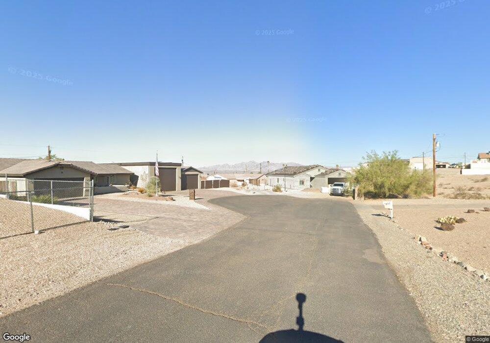
2267 Seabring Ct Lake Havasu City, AZ 86403
Estimated Value: $505,000 - $577,000
3
Beds
2
Baths
1,479
Sq Ft
$359/Sq Ft
Est. Value
About This Home
This home is located at 2267 Seabring Ct, Lake Havasu City, AZ 86403 and is currently estimated at $530,365, approximately $358 per square foot. 2267 Seabring Ct is a home located in Mohave County with nearby schools including Nautilus Elementary School, Thunderbolt Middle School, and Lake Havasu High School.
Ownership History
Date
Name
Owned For
Owner Type
Purchase Details
Closed on
Mar 31, 2006
Sold by
Mutka Michael W and Mutka Marcella A
Bought by
Jacobs Jeffrey B and Jacobs Patricia
Current Estimated Value
Purchase Details
Closed on
Mar 1, 2003
Sold by
Congrove Dennie J and Congrove Sharon K
Bought by
Mutka Michael W and Mutka Marcella A
Home Financials for this Owner
Home Financials are based on the most recent Mortgage that was taken out on this home.
Original Mortgage
$32,400
Interest Rate
5.73%
Mortgage Type
New Conventional
Purchase Details
Closed on
Dec 16, 2002
Sold by
Dreager Development Inc
Bought by
Congrove Dennie J and Congrove Sharon K
Purchase Details
Closed on
Feb 2, 2002
Sold by
Husted Leonard and Husted Sharon R
Bought by
Dreager Development Inc
Create a Home Valuation Report for This Property
The Home Valuation Report is an in-depth analysis detailing your home's value as well as a comparison with similar homes in the area
Home Values in the Area
Average Home Value in this Area
Purchase History
| Date | Buyer | Sale Price | Title Company |
|---|---|---|---|
| Jacobs Jeffrey B | $94,000 | First American Title Ins Co | |
| Mutka Michael W | $36,500 | First American Title Ins Co | |
| Congrove Dennie J | -- | Transnation Title Insurance | |
| Dreager Development Inc | -- | First American Title Ins Co |
Source: Public Records
Mortgage History
| Date | Status | Borrower | Loan Amount |
|---|---|---|---|
| Previous Owner | Mutka Michael W | $32,400 |
Source: Public Records
Tax History Compared to Growth
Tax History
| Year | Tax Paid | Tax Assessment Tax Assessment Total Assessment is a certain percentage of the fair market value that is determined by local assessors to be the total taxable value of land and additions on the property. | Land | Improvement |
|---|---|---|---|---|
| 2026 | $1,010 | -- | -- | -- |
| 2025 | $2,047 | $42,916 | $0 | $0 |
| 2024 | $2,047 | $46,404 | $0 | $0 |
| 2023 | $2,047 | $40,356 | $0 | $0 |
| 2022 | $1,959 | $31,008 | $0 | $0 |
| 2021 | $2,137 | $29,465 | $0 | $0 |
| 2019 | $2,029 | $25,524 | $0 | $0 |
| 2018 | $1,960 | $23,613 | $0 | $0 |
| 2017 | $1,941 | $23,018 | $0 | $0 |
| 2016 | $1,756 | $20,797 | $0 | $0 |
| 2015 | $1,681 | $18,012 | $0 | $0 |
Source: Public Records
Map
Nearby Homes
- 2183 Runabout Dr
- 2162 Runabout Dr
- 1541 Holly Ave
- 1911 Holly Ave
- 1901 Holly Ave
- 2257 Barranca Dr
- 2285 Pennant Ln
- 2148 Sandwood Dr
- 2205 Sandwood Dr
- 2211 Sandwood Dr
- 2090 San Juan Dr
- 2050 Kiowa Blvd N
- 2272 Barranca Dr
- 2264 Barranca Dr
- 2100 Chaparral Dr
- 2030 Commander Dr
- 2212 Kiowa Blvd N Unit 227
- 2212 Kiowa Blvd N Unit 105
- 2212 Kiowa Blvd N Unit 117
- 2212 Kiowa Blvd N Unit 123
- 2267 Seabring Ct
- 2191 Barranca Dr
- 2193 Barranca Dr
- 2189 Barranca Dr
- 2195 Barranca Dr
- 2257 Seabring Ct
- 2247 Seabring Ct
- 2201 Barranca Dr
- 2287 Seabring Ct
- 2209 Barranca Dr
- 2198 Runabout Dr
- 2237 San Juan Dr
- 2202 Runabout Dr
- 2202 Runabout Dr
- 2192 Barranca Dr
- 2196 Barranca Dr
- 2208 Runabout Dr
- 2190 Runabout Dr
- 2188 Barranca Dr
- 2201 San Juan Dr